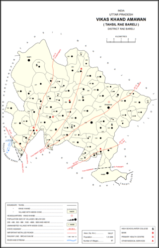
Chak Sunda is a village in Harchandpur block of Rae Bareli district, Uttar Pradesh, India. As of 2011, its population is 1,223, in 204 households. It has one primary school and no healthcare facilities.

Khalispur is a village in Bahadurpur block of Rae Bareli district, Uttar Pradesh, India. As of 2011, its population is 3,554, in 607 households. It has one primary school and no healthcare facilities.

Johwa Hisar is a village in Harchandpur block of Rae Bareli district, Uttar Pradesh, India. It is located 38 km from Raebareli, the district headquarters. As of 2011, its population is 1,692, in 372 households. It has one primary school and no healthcare facilities.

Tanda is a village in Harchandpur block of Rae Bareli district, Uttar Pradesh, India. It is located 5 km from Raebareli, the district headquarters. As of 2011, its population is 1,559, in 312 households. It has one primary school and no healthcare facilities.

Paltu Tanda is a village in Harchandpur block of Rae Bareli district, Uttar Pradesh, India. It is located 2 km from Raebareli, the district headquarters. As of 2011, its population is 414, in 80 households. It has no schools and no healthcare facilities.

Didauli is a village in Amawan block of Rae Bareli district, Uttar Pradesh, India. It is located 8 km from Raebareli, the district headquarters. As of 2011, its population is 1,709, in 329 households. It has one primary school and no healthcare facilities.

Gokulpur is a village in Amawan block of Rae Bareli district, Uttar Pradesh, India. As of 2011, its population is 228, in 41 households. It has no schools and no healthcare facilities.

Pindari Khurd is a village in Amawan block of Rae Bareli district, Uttar Pradesh, India. It is located 9 km from Raebareli, the district headquarters. As of 2011, its population is 1,615, in 300 households. It has one primary school and no healthcare facilities.

Sidhauna is a village in Amawan block of Rae Bareli district, Uttar Pradesh, India. It is located 16 km from Raebareli, the district headquarters. As of 2011, its population is 5,352, in 953 households. It has one primary school and no healthcare facilities.

Bans is a village located in Sataon block of Rae Bareli district, Uttar Pradesh, India. As of 2011, its population is 1,341, in 244 households. It has two primary schools and no healthcare facilities.

Alipur Aima is a village in Sataon block of Rae Bareli district, Uttar Pradesh, India. It is located 12 km from Raebareli, the district headquarters. As of 2011, its population is 567, in 106 households. It has one primary school and no healthcare facilities.

Salarpur is a village in Sataon block of Rae Bareli district, Uttar Pradesh, India. It is located 8 km from Raebareli, the district headquarters. As of 2011, its population is 1,462, in 288 households. It has one primary school and no healthcare facilities.

Nakphulha is a village in Sataon block of Rae Bareli district, Uttar Pradesh, India. It is located 8 km from Raebareli, the district headquarters. As of 2011, its population is 2,517, in 467 households. It has one primary school and no healthcare facilities.

Chandwal is a village in Sataon block of Rae Bareli district, Uttar Pradesh, India. As of 2011, its population is 1,112, in 225 households. It has one primary school and no healthcare facilities.

Suraj Kunda is a village in Rahi block of Rae Bareli district, Uttar Pradesh, India. It is located 11 km from Rae Bareli, the district headquarters. As of 2011, it has a population of 2,196 people, in 455 households. It has one primary school and no healthcare facilities.

Sarai is a village in Lalganj block of Rae Bareli district, Uttar Pradesh, India. It is located 19 km from Lalganj, the block and tehsil headquarters. As of 2011, it has a population of 902 people, in 173 households. It has one primary school and no healthcare facilities.

Lalumau is a village in Lalganj block of Rae Bareli district, Uttar Pradesh, India. It is located 6 km from Lalganj, the block and tehsil headquarters. As of 2011, it has a population of 1,852 people, in 336 households. It has two primary schools and no healthcare facilities.

Chhichhaura is a village in Deenshah Gaura block of Rae Bareli district, Uttar Pradesh, India. It is located 20 km from Raebareli, the district headquarters. As of 2011, it has a population of 862 people, in 157 households. It has one primary school and no healthcare facilities.

Khajuri is a village in Jagatpur block of Rae Bareli district, Uttar Pradesh, India. As of 2011, it has a population of 2,062 people, in 364 households.

Bani is a village in Rahi block of Rae Bareli district, Uttar Pradesh, India. It is located 7 km from Rae Bareli, the district headquarters. As of 2011, it has a population of 672 people, in 136 households. It has no schools and no healthcare facilities.


