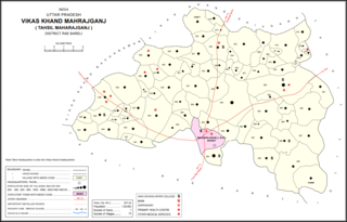
Narayanpur is a village in Maharajganj block of Rae Bareli district, Uttar Pradesh, India. As of 2011, its population is 684, in 136 households. It has one primary school and no healthcare facilities. It is located 9 km from Maharajganj, the block headquarters. The main staple foods are wheat and rice.

Dostpur is a village in Bachhrawan block of Rae Bareli district, Uttar Pradesh, India. As of 2011, its population is 1,790, in 315 households. It is located 6 km from Bachhrawan, the block headquarters, and the main staple foods are wheat and rice.

Shergarh is a village in Shivgarh block of Rae Bareli district, Uttar Pradesh, India. As of 2011, its population is 548, in 111 households. It has no schools and no healthcare facilities. It is located 11 km from Maharajganj, the tehsil headquarters. The main staple foods are wheat and rice.

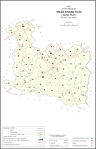
Ahuri is a village in Tiloi block of Rae Bareli district, Uttar Pradesh, India. As of 2011, its population is 1,647, in 286 households. It has one primary school and no healthcare facilities.

Rajamau is a village in Tiloi block of Rae Bareli district, Uttar Pradesh, India. As of 2011, its population is 2,171, in 329 households. It has one primary school and no healthcare facilities.

Asni is a village in Tiloi block of Rae Bareli district, Uttar Pradesh, India. As of 2011, its population is 2,244, in 401 households. It has one primary school and no healthcare facilities.

Konchi is a village in Singhpur block of Rae Bareli district, Uttar Pradesh, India. As of 2011, its population is 1,914, in 318 households.

Khara is a village in Singhpur block of Rae Bareli district, Uttar Pradesh, India. As of 2011, its population is 7,320, in 1,339 households.

Chingahi is a village in Tiloi block of Rae Bareli district, Uttar Pradesh, India. As of 2011, its population is 1,768, in 303 households. It has one primary school and no healthcare facilities.

Bhadmar is a village in Tiloi block of Rae Bareli district, Uttar Pradesh, India. As of 2011, its population is 2,038, in 349 households.

Bhadsana is a village in Tiloi block of Rae Bareli district, Uttar Pradesh, India. As of 2011, its population is 1,862, in 343 households.

Ramnagar is a village in Tiloi block of Rae Bareli district, Uttar Pradesh, India. As of 2011, its population is 1,389, in 248 households.

Pakargaon is a village in Tiloi block of Rae Bareli district, Uttar Pradesh, India. As of 2011, its population is 6,266, in 1,156 households. It has two primary schools and no healthcare facilities.

Pura Mani Manohar is a village in Tiloi block of Rae Bareli district, Uttar Pradesh, India. As of 2011, its population is 959, in 186 households. It has one primary school and no healthcare facilities.

Pura Manga is a village in Tiloi block of Rae Bareli district, Uttar Pradesh, India. As of 2011, its population is 294, in 52 households. It has no schools and no healthcare facilities.

Belwa Hasanpur is a village in Tiloi block of Rae Bareli district, Uttar Pradesh, India. It is located 32 km from Raebareli, the district headquarters. As of 2011, its population is 2,224, in 400 households. It has two primary schools and no healthcare facilities.

Chak Mamha is a village in Bahadurpur block of Rae Bareli district, Uttar Pradesh, India. As of 2011, its population is 663, in 99 households. It has one primary school and no healthcare facilities.

Tarauna is a village in Bahadurpur block of Rae Bareli district, Uttar Pradesh, India. As of 2011, its population is 1,077, in 194 households. It has one primary school and no healthcare facilities.

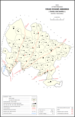
Kondras Khurd is a village in Amawan block of Rae Bareli district, Uttar Pradesh, India. It is located 5 km from Raebareli, the district headquarters. As of 2011, its population is 296, in 61 households.

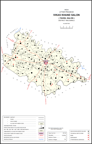
Satwa is a village in Salon block of Rae Bareli district, Uttar Pradesh, India. It is located 35 km from Raebareli, the district headquarters. As of 2011, Satwa has a population of 418 people, in 74 households. It has a regular market, but not a periodic haat, and no healthcare facilities.


