 Radar image of Hurricane Gracie taken by the United States Navy | |
| Meteorological history | |
|---|---|
| Formed | September 20,1959 |
| Extratropical | September 30,1959 |
| Dissipated | October 2,1959 |
| Category 4 major hurricane | |
| 1-minute sustained (SSHWS/NWS) | |
| Highest winds | 140 mph (220 km/h) |
| Lowest pressure | 950 mbar (hPa);28.05 inHg |
| Overall effects | |
| Fatalities | 22 direct |
| Damage | $14 million (1959 USD) |
| Areas affected | Bahamas,Georgia,The Carolinas,Virginia,Northeastern United States,Atlantic Canada |
| IBTrACS | |
Part of the 1959 Atlantic hurricane season | |
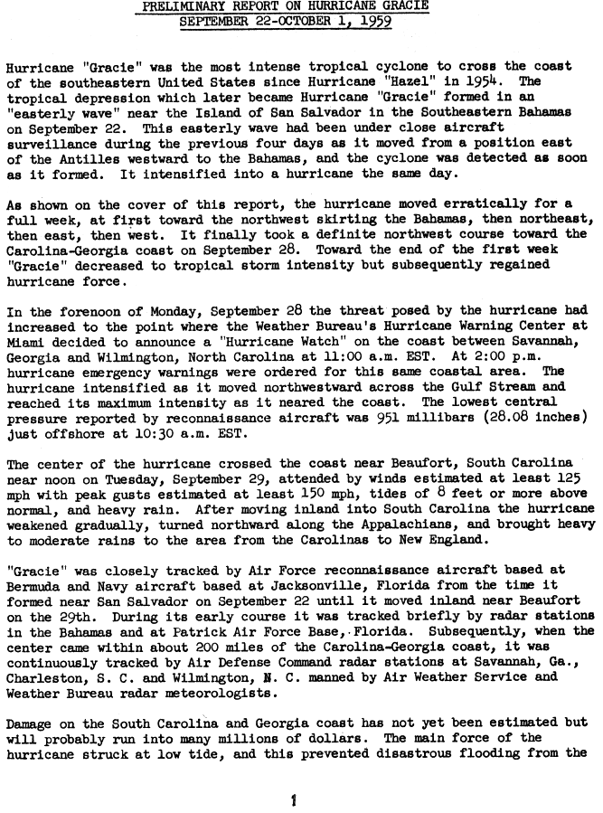
Hurricane Gracie was a powerful hurricane that formed in September 1959,the strongest during the 1959 Atlantic hurricane season and the most intense to strike the United States since Hurricane Hazel in 1954. [1] The system was first noted as an area of thunderstorms east of the Lesser Antilles which moved just north of the Greater Antilles,quickly intensifying into a hurricane on September 22. Gracie was a storm that was very difficult to forecast,with its movement unpredictable. [2] After five days of erratic motion,Gracie became a major hurricane which struck South Carolina,and weakened as it moved up the Appalachians,bringing much needed rain to a drought-plagued region. Much of the destruction related with Gracie was centered on Beaufort,South Carolina. Gracie became an extratropical cyclone on September 30 while moving through the Eastern United States.


