
Moore is a rural town and locality in the Somerset Region, Queensland, Australia. In the 2016 census, the locality of Moore had a population of 296 people.

Harlin is a rural town and locality in the Somerset Region, Queensland, Australia. In the 2016 census, the locality of Harlin had a population of 173 people.

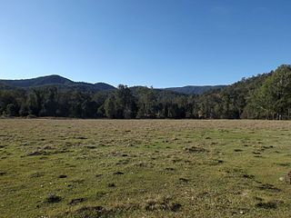
Bryden is a rural locality in the Somerset Region, Queensland, Australia. In the 2021 census, Bryden had a population of 22 people.

Colinton is a rural locality in the Somerset Region, Queensland, Australia. In the 2021 census, Colinton had a population of 60 people.

Mount Beppo is a rural locality in the Somerset Region, Queensland, Australia. In the 2016 census, Mount Beppo had a population of 216 people.
Mount Byron is a rural locality in the Somerset Region, Queensland, Australia. In the 2016 census, Mount Byron had a population of 18 people.

Hazeldean is a rural locality in the Somerset Region, Queensland, Australia. In the 2021 census, Hazeldean had a population of 326 people.
Coal Creek is a rural locality in the Somerset Region, Queensland, Australia. In the 2021 census, Coal Creek had a population of 50 people.
Cooeeimbardi is a rural locality in the Somerset Region, Queensland, Australia. In the 2021 census, Cooeeimbardi had a population of 9 people.
Lower Cressbrook is a rural locality in the Somerset Region, Queensland, Australia. In the 2016 census, Lower Cressbrook had a population of 16 people.
Fulham is a rural locality in the Somerset Region, Queensland, Australia. In the 2021 census, Fulham had a population of 53 people.
Murrumba is a rural locality in the Somerset Region, Queensland, Australia. In the 2016 census, Murrumba had a population of 16 people.
Mount Stanley is a rural locality in the Somerset Region, Queensland, Australia. In the 2016 census Mount Stanley had a population of 7 people.

Biarra is a rural locality in the Somerset Region, Queensland, Australia. In the 2021 census, Biarra had a population of 270 people.
Gregors Creek is a rural locality in the Somerset Region, Queensland, Australia. In the 2021 census, Gregors Creek had a population of 87 people.
Scrub Creek is a rural locality in the Somerset Region, Queensland, Australia. In the 2016 census, Scrub Creek had a population of 32 people.
Eskdale is a rural locality in the Somerset Region, Queensland, Australia. In the 2021 census, Eskdale had a population of 34 people.
Mount Hallen is a rural locality in the Somerset Region, Queensland, Australia. In the 2021 census, Mount Hallen had a population of 457 people.
Ottaba is a rural locality in the Somerset Region, Queensland, Australia. In the 2016 census, Ottaba had a population of 54 people.
Emu Creek is a rural locality in the Toowoomba Region, Queensland, Australia. In the 2021 census, Emu Creek had a population of 113 people.
