Harlin Queensland | |||||||||||||||
---|---|---|---|---|---|---|---|---|---|---|---|---|---|---|---|
Harlin Hotel | |||||||||||||||
Coordinates | 26°58′23″S152°21′24″E / 26.9730°S 152.3566°E Coordinates: 26°58′23″S152°21′24″E / 26.9730°S 152.3566°E | ||||||||||||||
Population | 173 (2016 census) [1] | ||||||||||||||
• Density | 0.6766/km2 (1.752/sq mi) | ||||||||||||||
Postcode(s) | 4314 | ||||||||||||||
Area | 255.7 km2 (98.7 sq mi) | ||||||||||||||
Time zone | AEST (UTC+10:00) | ||||||||||||||
Location | |||||||||||||||
LGA(s) | Somerset Region | ||||||||||||||
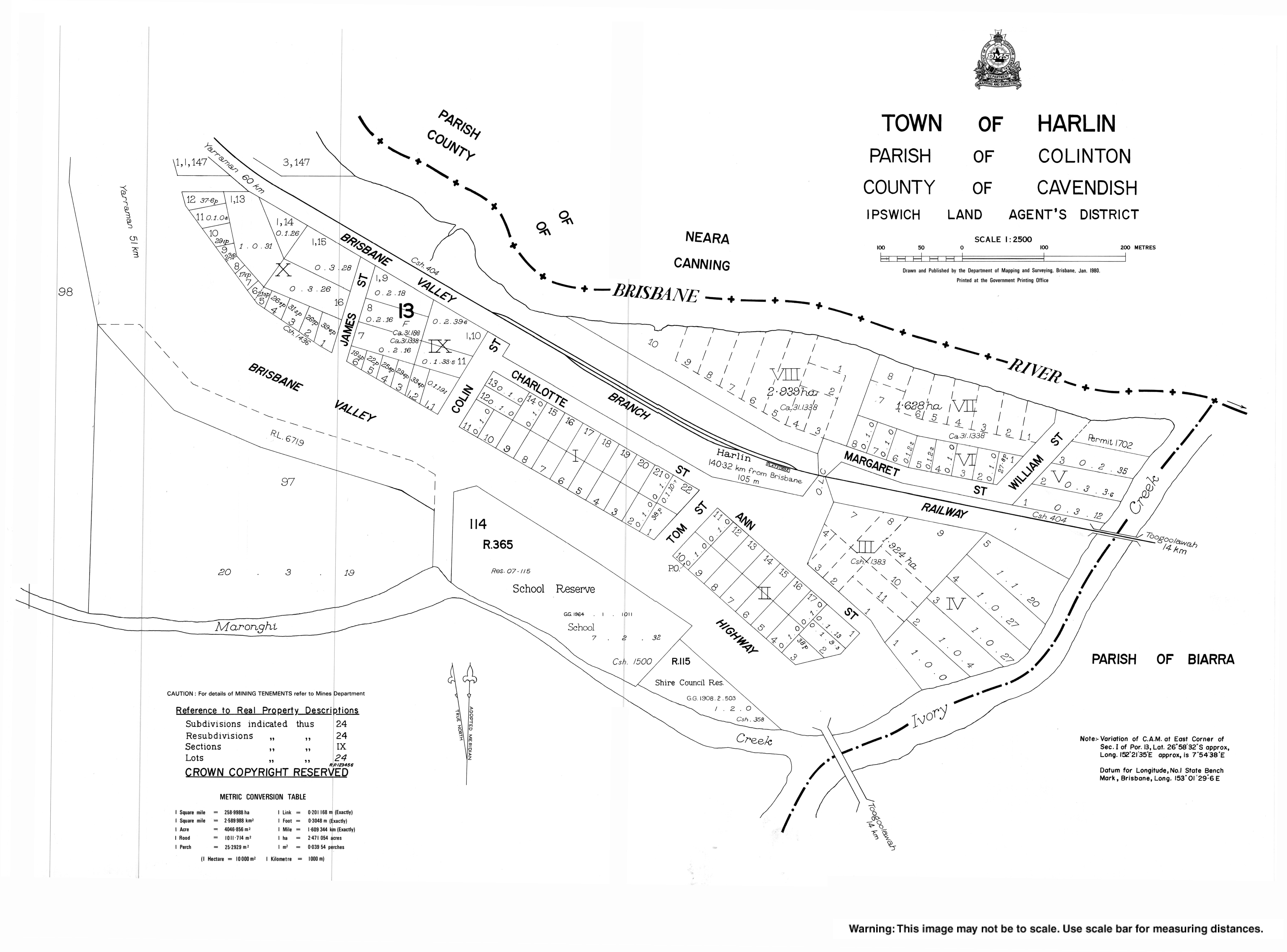
County | Cavendish | ||||||||||||||
Parish | Colinton | ||||||||||||||
State electorate(s) | Nanango | ||||||||||||||
Federal Division(s) | Blair | ||||||||||||||
|
Harlin is a rural town and locality in the Somerset Region, Queensland, Australia. [2] [3] In the 2016 census, Harlin had a population of 173 people. [1]
Harlin is a small town in South East Queensland. The town is on the Brisbane Valley Highway and the Brisbane River, 131 kilometres (81 mi) north west of the state capital, Brisbane.
The town was named after Charlotte (née Harlin), wife of John Dunn Moore of the Colinton pastoral property. Their son William John Harlin Moore was a Member of the Queensland Legislative Assembly. [2]
Harlin Post Office opened by September 1907 (a receiving office had been open from 1905) and closed in 1989. [4]
Harlin Provisional School opened on 1908. On 1 January 1909 it became Harlin State School. [5] [6]
The town was marooned during the 2011 Floods. Over 40 travellers were stranded by the dangerous and rising flood waters of the Brisbane River and the Ivory and Maronghi Creeks. They were housed by the publicans and owners of the Harlin Hotel and the Caltex service station from 9 January 2011, until the flooded creeks and rivers subsided.[ citation needed ]
At the 2011 census, Harlin and the surrounding area had a population of 534. [7]
Harlin has a number of heritage-listed sites, including:
Harlin State School is a government primary (Prep-6) school for boys and girls at Brisbane Valley Highway ( 26°58′26″S152°21′27″E / 26.9740°S 152.3574°E ). [10] [11] In 2017, the school had an enrolment of 65 students with 5 teachers (4 full-time equivalent) and 5 non-teaching staff (3 full-time equivalent). [12]
Esk is a town and locality in the Somerset Region in South East Queensland, Australia. In the 2016 census, Esk had a population of 1,698 people.
Toogoolawah is a rural town and locality in the Somerset Region, Queensland, Australia. In the 2016 census, Toogoolawah had a population of 1,279 people.
Beerburrum is a small town and coastal locality in the Sunshine Coast Region, Queensland, Australia. In the 2016 census, Beerburrum had a population of 763 people.
Linville is a rural town and locality in the Somerset Region, Queensland, Australia. In the 2016 census, Linville had a population of 156 people.
Coominya is a town and locality in the Somerset Region in South East Queensland, Australia. The town is located 83 kilometres (52 mi) west of the state capital, Brisbane and approximately 2 kilometres (1.2 mi) from Wivenhoe Dam. In the 2016 census, Coominya had a population of 1,200 people.
Grantham is a rural town and locality in the Lockyer Valley Region, Queensland, Australia. The town is located 100 kilometres (62 mi) west of the state capital, Brisbane. At the 2016 census, Grantham and the surrounding area had a population of 634.
The Somerset Region is a local government area located in the West Moreton region of South East Queensland, Australia, about 100 kilometres (62 mi) northwest of Brisbane and centred on the town of Esk. It was created in 2008 from a merger of the Shire of Esk and the Shire of Kilcoy. It is commonly known as the Brisbane Valley, due to the Brisbane River which courses through the region, although significant parts of the region lie outside the hydrological Brisbane Valley itself.
Glamorgan Vale is a rural town and locality in the Somerset Region, Queensland, Australia. In the 2016 census, Glamorgan Vale had a population of 404 people.
Clarendon is a rural locality in the Somerset Region, Queensland, Australia. In the 2016 census Clarendon had a population of 244 people.
Murphys Creek is a rural town and locality in the Lockyer Valley Region, Queensland, Australia. In the 2016 census, Murphys Creek had a population of 629 people.
Moore is a rural town and locality in the Somerset Region in South East Queensland, Australia. Moore is 96 kilometres (60 mi) north-west of Brisbane.
Banks Creek is a rural locality split between the City of Brisbane and Somerset Region in Queensland, Australia. The locality is also split for the purposes of state and federal elections. In the 2016 census, Banks Creek had a population of 5 people.
Conondale is a rural town and locality in the Sunshine Coast Region, Queensland, Australia. In the 2016 census, Conondale had a population of 858 people.
Forest Hill is a rural town and locality in the Lockyer Valley Region, Queensland, Australia. In the 2016 census, Forest Hill had a population of 968 people.
Woolooga is a town and locality in the Wide Bay region of Queensland, Australia. The town is located in the Gympie Region local government area, 221 kilometres (137 mi) north of the state capital, Brisbane.
Amamoor is a rural town and locality in the Gympie Region, Queensland, Australia. In the 2016 census the locality of Amamoor had a population of 636 people.
Degilbo is a town and a locality in the North Burnett Region, Queensland, Australia. In the 2016 census, Degilbo had a population of 174 people.
Yimbun Railway Tunnel is a heritage-listed tunnel at Sinnamons Lane, Harlin, Somerset Region, Queensland, Australia. It was designed by Queensland Railways and built from 1909 to 1910 by Queensland Railways. It was added to the Queensland Heritage Register on 27 November 2008.
Hazeldean is a rural locality in the Somerset Region, Queensland, Australia. In the 2016 census, Hazeldean had a population of 262 people.
Biarra is a rural locality in the Somerset Region, Queensland, Australia. In the 2016 census, Biarra had a population of 257 people.
Wikimedia Commons has media related to Harlin, Queensland . |