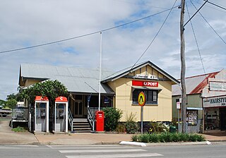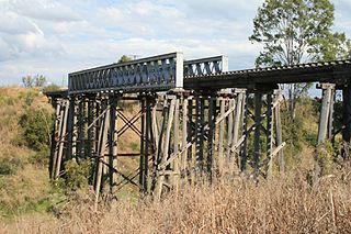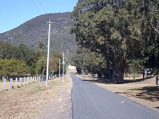
Prenzlau is a rural locality in the Somerset Region, Queensland, Australia. In the 2021 census, Prenzlau had a population of 408 people.

Lowood is a rural town and locality in the Somerset Region, Queensland, Australia. In the 2021 census, the locality of Lowood had a population of 4,082 people.
Glamorgan Vale is a rural town and locality in the Somerset Region, Queensland, Australia. In the 2021 census, the locality of Glamorgan Vale had a population of 384 people.

Tarampa is a rural locality in the Somerset Region, Queensland, Australia. In the 2021 census, Tarampa had a population of 287 people.

Lark Hill is a rural locality in the Somerset Region, Queensland, Australia. In the 2021 census, Lark Hill had a population of 69 people.

Coolana is a rural locality in the Somerset Region, Queensland, Australia. In the 2021 census, Coolana had a population of 175 people.

Rifle Range is a locality in the Somerset Region, Queensland, Australia. In the 2021 census, Rifle Range had a population of 197 people.

Clarendon is a rural locality in the Somerset Region, Queensland, Australia. In the 2021 census, Clarendon had a population of 232 people.

Thulimbah is a rural town and locality in the Southern Downs Region, Queensland, Australia. In the 2021 census, the locality of Thulimbah had a population of 351 people. It borders New South Wales.

Harlin is a rural town and locality in the Somerset Region, Queensland, Australia. In the 2021 census, the locality of Harlin had a population of 211 people.

Atkinsons Dam is a rural locality in the Somerset Region, Queensland, Australia. In the 2021 census, Atkinsons Dam had a population of 191 people.

Mount Archer is a mountain and a rural locality in the Somerset Region, Queensland, Australia. In the 2021 census, Mount Archer had a population of 331 people.

Royston is a rural locality in the Somerset Region, Queensland, Australia. In the 2021 census, Royston had a population of 346 people.

Mount Kilcoy is a rural locality in the Somerset Region, Queensland, Australia. In the 2021 census, Mount Kilcoy had a population of 277 people.
Mount Stanley is a rural locality in the Somerset Region, Queensland, Australia. In the 2021 census, Mount Stanley had a population of 11 people.

Ngatjan is a locality split between the Cassowary Coast Region and the Cairns Region, Queensland, Australia. The name is derived from the ethnonym of the local Ngatjan people.

Brightview is a locality split between the Lockyer Valley Region and Somerset Region, Queensland, Australia. In the 2021 census, Brightview had a population of 911 people.

Lockyer Waters is a rural locality in the Lockyer Valley Region, Queensland, Australia. In the 2021 census, Lockyer Waters had a population of 538 people.
Glen Esk is a rural locality in the Somerset Region, Queensland, Australia. In the 2021 census, Glen Esk had a population of 55 people.
Caboonbah is a rural locality in the Somerset Region, Queensland, Australia. In the 2021 census, Caboonbah had a population of 13 people.


