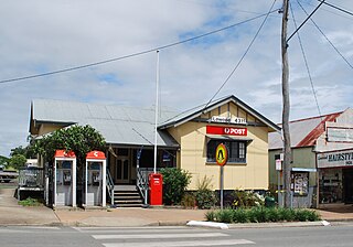
Lowood is a rural town and locality in the Somerset Region, Queensland, Australia. In the 2021 census, the locality of Lowood had a population of 4,082 people.

Fernvale is a rural town and locality in the Somerset Region, Queensland, Australia. In the 2021 census, the locality of Fernvale had a population of 3,629 people.

Fairney View is a rural locality in the Somerset Region, Queensland, Australia. In the 2021 census, Fairney View had a population of 221 people.

Vernor is a rural locality in the Somerset Region, Queensland, Australia. In the 2021 census, Vernor had a population of 235 people.

Wanora is a rural locality in the Somerset Region, Queensland, Australia. In the 2021 census, Wanora had a population of 262 people.

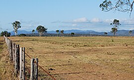
Tarampa is a rural locality in the Somerset Region, Queensland, Australia. In the 2021 census, Tarampa had a population of 287 people.

Coolana is a rural locality in the Somerset Region, Queensland, Australia. In the 2021 census, Coolana had a population of 175 people.

Rifle Range is a locality in the Somerset Region, Queensland, Australia. In the 2021 census, Rifle Range had a population of 197 people.
England Creek is a rural locality split between Somerset Region and City of Brisbane, Queensland, Australia. In the 2021 census, England Creek had a population of 39 people.

Bryden is a rural locality in the Somerset Region, Queensland, Australia. In the 2021 census, Bryden had a population of 22 people.

Dundas is a rural locality in the Somerset Region, Queensland, Australia. In the 2021 census, Dundas had a population of 58 people.

Crossdale is a rural locality in the Somerset Region, Queensland, Australia. In the 2021 census, Crossdale had a population of 68 people.

Coochin is a rural locality in the Scenic Rim Region, Queensland, Australia. In the 2021 census, Coochin had a population of 115 people.

Split Yard Creek is a rural locality in the Somerset Region, Queensland, Australia. In the 2021 census, Split Yard Creek had a population of 31 people.
Coal Creek is a rural locality in the Somerset Region, Queensland, Australia. In the 2021 census, Coal Creek had a population of 50 people.

Wivenhoe Hill is a rural locality in the Somerset Region, Queensland, Australia. In the 2021 census, Wivenhoe Hill had "no people or a very low population".
Moombra is a rural locality in the Somerset Region, Queensland, Australia. In the 2021 census, Moombra had a population of 9 people.
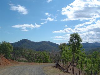
Glen Esk is a locality in the Somerset Region, Queensland, Australia. In the 2021 census, Glen Esk had a population of 55 people.
Caboonbah is a rural locality in the Somerset Region, Queensland, Australia. In the 2021 census, Caboonbah had a population of 13 people.
Mount Hallen is a rural locality in the Somerset Region, Queensland, Australia. In the 2021 census, Mount Hallen had a population of 457 people.