List of regions of the Netherlands

Last updated

NUTS-1 regions of the Netherlands Landsdeel.png
NUTS-1 regions of the Netherlands

The regions of the Netherlands provides links to both regions and subregions of the Netherlands.

Contents

Regions

The regions of the Netherlands are divided into the North, South, West and East Netherlands.

Official regions

Many regions in the Netherlands are officially defined by certain regulations of organizations.

First level NUTS of the European Union

NUTS-1 Regional divisions as used by the European Union: [1]

Unofficial multi-country regions

Unofficial multi-province regions

Inter-province metropolitan areas

Subregions

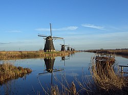
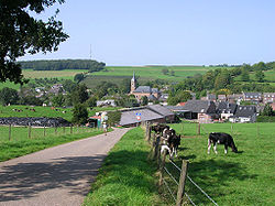
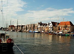
The subregions (Dutch: streek or landstreek (plural: (land)streken), literally translating to a combination of 'land/country area/region') are non-administrative area in the Netherlands that can be demarcated on grounds of cohesion with regards to culture or landscape. This means that a landstreek is not bound by provincial or municipal boundaries. Below is a list of all Dutch landstreken with the province(s) in which they are located mentioned between brackets.

A

Some of the windmills of Kinderdijk in the northwest of the Alblasserwaard KinderdijkMolens01.jpg
Some of the windmills of Kinderdijk in the northwest of the Alblasserwaard
Hollandse Biesbosch near Dordrecht Biesbosch 1.jpg
Hollandse Biesbosch near Dordrecht

B

D

E

F

G

H

Quintessential landscape of the Holland region: Benthuizen polder, as viewed from a dike Benthuizen dijk polder.jpg
Quintessential landscape of the Holland region: Benthuizen polder, as viewed from a dike

I

K

Dunes of Kennemerland Kennemerland zuid.jpg
Dunes of Kennemerland

L

M

Farmhouse in Veghel, Meierij van 's-Hertogenbosch, North Brabant Brabantsveghel.jpg
Farmhouse in Veghel, Meierij van 's-Hertogenbosch, North Brabant

N

O

Town of Anloo in the Oostermoer landstreek, Drenthe Zicht op Anloo.jpg
Town of Anloo in the Oostermoer landstreek, Drenthe

P

R

Canal in the City of Utrecht, part of the Randstad conurbation Nieuwegracht 2.JPG
Canal in the City of Utrecht, part of the Randstad conurbation

S

Hilly landscape and the town of Eys in South Limburg illustrating the a-typical Dutch landscape of the far-south of the Netherlands Eys.jpg
Hilly landscape and the town of Eys in South Limburg illustrating the a-typical Dutch landscape of the far-south of the Netherlands

T

The Boschplaat nature area on the island of Terschelling, Wadden Islands, Friesland Bosplaat.JPG
The Boschplaat nature area on the island of Terschelling, Wadden Islands, Friesland

U

V

A forest in the geographically diverse Veluwe landstreek, Gelderland Veluweforest.jpg
A forest in the geographically diverse Veluwe landstreek, Gelderland
Town of Harlingen in the Westergo landstreek of Friesland Nordholland Harlingen 2004 003a.jpg
Town of Harlingen in the Westergo landstreek of Friesland

W

Z

Windmills and the river Zaan, Zaanstreek, North Holland River Zaan.jpg
Windmills and the river Zaan, Zaanstreek, North Holland

References

  1. "Introduction". Archived from the original on 2011-05-20. Retrieved 2010-08-22.