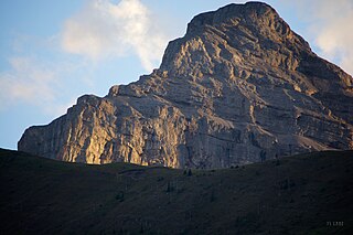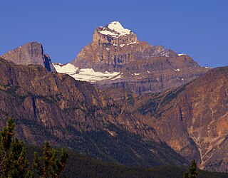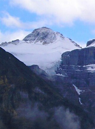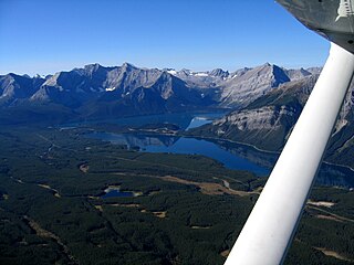
Mount Assiniboine, also known as Assiniboine Mountain, is a pyramidal peak mountain on the Great Divide, on the British Columbia/Alberta border in Canada.

Mount Columbia is a mountain located in the Winston Churchill Range of the Rocky Mountains. It is the highest point in Alberta, Canada, and is second only to Mount Robson for height and topographical prominence in the Canadian Rockies. It is located on the border between Alberta and British Columbia on the northern edge of the Columbia Icefield. Its highest point, however, lies within Jasper National Park in Alberta.

Mount Bryce is a mountain at the southwestern corner of the Columbia Icefield, in British Columbia, Canada, near the border with Alberta. It can be seen from the Icefields Parkway.

Mount Brazeau is a mountain in Alberta, Canada.

The Blue Range is a mountain range of the Canadian Rockies, located on the Continental Divide in Banff National Park, Canada. The range was so named on account of its blueish colour when viewed from afar. Mount Alcantara is the highest point in the range.

The Three Sisters are a trio of peaks near Canmore, Alberta, Canada. They are known individually as Big Sister, Middle Sister and Little Sister.

Mount Saskatchewan is a mountain located in the North Saskatchewan River valley of Banff National Park, in the Canadian Rockies of Alberta, Canada.

Mount Hector is a 3,394-metre (11,135-foot) mountain summit located in the Bow River valley of Banff National Park, in the Canadian Rockies of Alberta, Canada. The mountain was named in 1884 by George M. Dawson after James Hector, a geologist on the Palliser expedition. The mountain is located beside the Icefields Parkway, 17 km (11 mi) north of Lake Louise.

The Hart Ranges are a major subrange of the Canadian Rockies located in northeastern British Columbia and western Alberta. The mountains constitute the southernmost portion of the Northern Rocky Mountains.
The Bosche Range is a mountain range of the Canadian Rockies located northwest of Highway 16 near the eastern border of Jasper National Park, Canada.
Mount Thomlinson is a mountain in the Babine Range of the Skeena Mountains in northern British Columbia, Canada, located at the head of Thomlinson Creek, southeast of the junction of Babine River and Skeena River and north of Hazelton. It has a prominence of 1,661 m (5,449 ft), created by the Babine-Stuart Pass, thus making it one of Canada's many Ultra peaks. Thomlinson is one of the most isolated mountains of Canada.

Mount Muir is a mountain located on the Continental Divide on the Alberta-British Columbia border. The mountain was named in 1918 after Alexander Muir. It is located in the High Rock Range.

Mount Aeolus is a mountain summit in Dorset, Bennington County, Vermont, United States. Mount Aeolus is one of the Taconic Mountains. It lies 1.5 miles (2.4 km) west of the community of East Dorset.
Mount Ulysses, is the highest mountain in the Muskwa Ranges of the Northern Canadian Rockies in British Columbia. It and neighbouring peaks are part of a group of names drawing on the epic poem The Odyssey, in which here Ulysses wanders for 10 years before being able to return home to Ithaca.

Mount Fryatt is Alberta's 26th highest peak. In 1920, it was named after Captain Charles Fryatt, a British merchant seaman who was executed by the Germans during World War I. It lies within peaks that are between the Athabasca and Whirlpool Rivers in Jasper National Park.
Mount Barnard is located on the border of Alberta and British Columbia, NW of the head of Waitabit Creek and North of Golden. It is the 30th highest peak in Alberta and the 42nd highest peak in British Columbia. It was named in 1917 by boundary surveyors after Sir Francis Stillman Barnard, a Lieutenant Governor of BC during the 1910s. It should not be confused with the higher Californian peak of the same name.

Mount Little is situated at the northern end of Kootenay National Park, and straddles the Continental Divide marking the Alberta-British Columbia border. It was named in 1916 after George F. Little, a member of the first ascent party.
A mountain formerly known as Mount Pétain, but with no current official name, is located on the border of the Canadian provinces of Alberta and British Columbia (BC) on the Continental Divide.

Mount Mangin is located on the border of Alberta and British Columbia on the Continental Divide. It was named in 1918 after French general Charles Mangin.
Coronach Mountain is a 2,462-metre (8,077 ft) mountain summit located in Jasper National Park of Alberta, Canada. It is situated in the Bosche Range of the Canadian Rockies. The mountain was named in 1916 by Morrison P. Bridgland, who was inspired by the howling of nearby coyotes and applied the name Coronach, the Scottish Gaelic word for funeral dirge. Bridgland (1878–1948) was a Dominion Land Surveyor who named many peaks in Jasper Park and the Canadian Rockies. The mountain's name was officially adopted in 1956 by the Geographical Names Board of Canada. Its nearest higher peak is Mount Aeolus, 3.5 km (2.2 mi) to the north.


