| Mullaghareirk Mountains | |
|---|---|
| Mullach an Radhairc | |
 Mullaghareirk Mountains | |
| Highest point | |
| Elevation | 408 m (1,339 ft) |
| Coordinates | 52°20′N9°08′W / 52.333°N 9.133°W |
| Geography | |
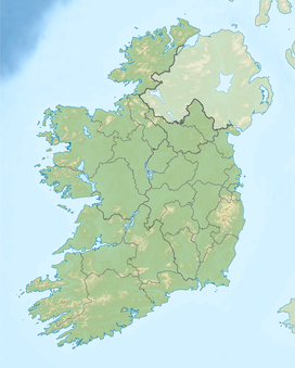
| Country | Ireland |
| Provinces of Ireland | Munster |
The Mullaghareirk Mountains (from Irish : Mullach an Radhairc, meaning 'the summit of the view') [1] is a range of hills in Ireland on the borders of County Cork, County Kerry and County Limerick. The area is also known as Sliabh Luachra (sometimes anglicised 'Slieve Logher'). The highest point is Baraveha (Barr an Bheithe) at 451 metres (1,480 ft). [2] It is bordered by the Blackwater valley to the south, Castleisland to the west, Athea to the north and the Deel valley to the east. Villages in the hills include Rockchapel, Ballydesmond, Brosna, Gneevgullia, Mountcollins, Newmarket, Meelin and Tournafulla. The Allaughaun River, a tributary of the River Feale, rises at the east end of the range. [3]

