This article possibly contains original research .(March 2021) |
Parole Parole | |
|---|---|
 Parole Location in Jammu and Kashmir  Parole Parole (India) | |
| Coordinates: 32°20′49″N75°26′03″E / 32.34694°N 75.43417°E | |
| Country | |
| Union Territory | Jammu and Kashmir |
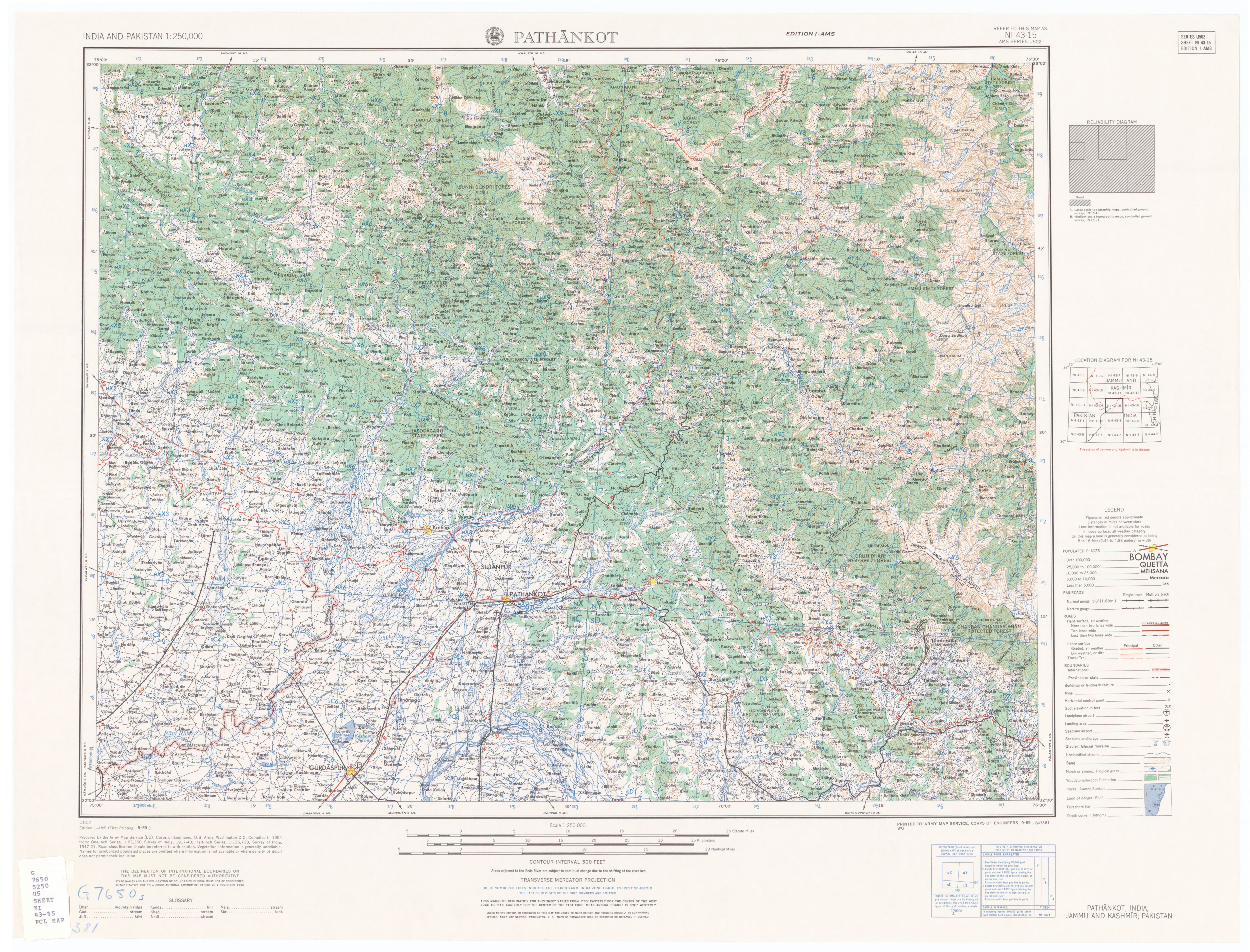
| District | Kathua |
| Tehsil | Parole |
| Elevation | 274 m (899 ft) |
| Population (2011) | |
• Total | 11,856 |
| Languages | |
| • Official | Hindi, Dogri |
| Time zone | UTC+5:30 (IST) |
| PIN | 184151 |
| Vehicle registration | JK08 |
Parole is a town, tehsil and notified area committee, near Kathua city in Kathua District in the Indian union territory of Jammu and Kashmir. It is just 10 km from Kathua city, the district headquarter.