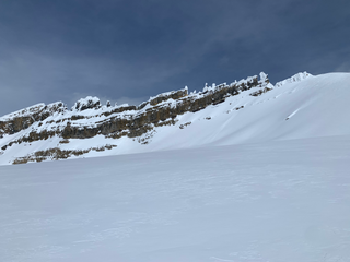
Mount Columbia is a mountain located in the Winston Churchill Range of the Rocky Mountains. It is the highest point in Alberta, Canada, and is second only to Mount Robson for height and topographical prominence in the Canadian Rockies. It is located on the border between Alberta and British Columbia on the northern edge of the Columbia Icefield. Its highest point, however, lies within Jasper National Park in Alberta.

Mount Bryce is a mountain at the southwestern corner of the Columbia Icefield, in British Columbia, Canada, near the border with Alberta. It can be seen from the Icefields Parkway.
Bush Pass is a mountain pass in the Canadian Rockies, on the border between the Canadian provinces of Alberta and British Columbia. It is located at the headwaters of the Valenciennes River, formerly known as the South Fork Bush River; the North Fork Bush River is now known as the Bush River.
Simpson Pass, el. 2,107 m (6,913 ft), is a mountain pass on the border between the Canadian provinces of Alberta and British Columbia, in the area of the Ball Range. It is the prominence col for Mount Ball on the Continental Divide in the vicinity of Sunshine Village ski resort. Simpson River and Simpson Pass are named after Sir George Simpson who first explored the area in 1841.

The Rocky Mountain Foothills are an upland area flanking the eastern side of the Rocky Mountains, extending from the Liard River in British Columbia southward into Alberta. Bordering the Interior Plains system, they are part of the Rocky Mountain System or Eastern System of the Western Cordillera of North America.
Kakwa Mountain is located on the border of Alberta and British Columbia. It was named in 1925 by Samuel P. Fay.
Razorback Mountain is located on the border of Alberta and British Columbia. It was named in 1915 for the narrow ridge on the mountain.
Kataka Mountain is located on the border of Alberta and British Columbia. It was named in 1916 by Morrison P. Bridgland.

Mount Fraser is a mountain located on the border of Alberta and British Columbia. It is Alberta's 38th highest peak and Alberta's 22nd most prominent mountain. It is also British Columbia's 50th highest peak. It was named in 1917 after Simon Fraser.
Mastodon Mountain is located on the border of Alberta and British Columbia. It was named in 1922 by Arthur O. Wheeler.
Blackrock Mountain is located on the border of Alberta and British Columbia. It was named in 1921 by Arthur O. Wheeler for the black Ordovician rock present in the area.

Mallard Peak is located on the border of Alberta and British Columbia. It is Alberta's 82nd most prominent mountain. It was named in 1920 by Arthur O. Wheeler. The summit of the mountain is said to look like a mallard duck.

McGillivray Ridge is located on the border of Alberta and British Columbia. Sometime before 1814, this massive mountain was called McGillvray's Rock after William McGillivray of the NWC.
Ebon Peak is a mountain located on the border of Alberta and British Columbia. It was named in 1917 by Arthur O. Wheeler.

Lilliput Mountain is located on the border of Alberta and British Columbia. It was named in 1917 by the Interprovincial Boundary Survey.

Terrapin Mountain is located on the border of Alberta and British Columbia on the Continental Divide. It was named in 1918. A ridge extending north from the mountain terminates at Naiset Point.

Defender Mountain is located on the border of Alberta and British Columbia on the Continental Divide.
A mountain formerly known as Mount Pétain, but with no current official name, is located on the border of the Canadian provinces of Alberta and British Columbia (BC) on the Continental Divide.
Tent Mountain is located on the border of Alberta and British Columbia on the Continental Divide. It was named in 1911 by Morrison P. Bridgland.


