White Rock Township | |
|---|---|
 White Rock Township building located in Kings. | |
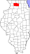
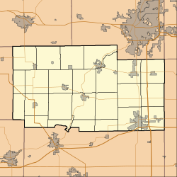 White Rock Township Location within Ogle County  White Rock Township Location within Illinois  White Rock Township Location within the United States | |
| Coordinates: 42°00′49″N89°06′34″W / 42.01361°N 89.10944°W | |
| Country | United States |
| State | Illinois |
| County | Ogle |
| Organized | November 6, 1849 |
| Government | |
| • Mayor | John Greenfield |
| Area | |
• Total | 35.56 sq mi (92.1 km2) |
| • Land | 35.54 sq mi (92.0 km2) |
| • Water | 0.03 sq mi (0.08 km2) |
| Elevation | 574 ft (175 m) |
| Population (2010) | |
| 710 | |
| • Density | 20.8/sq mi (8.0/km2) |
| Time zone | UTC-6 (CST) |
| • Summer (DST) | UTC-5 (CDT) |
| FIPS code | 17-141-81399 |
White Rock Township is located in Ogle County, Illinois, United States. As of the 2010 census, its population was 738 and it contained 298 housing units. [2] It contains the census-designated place of Kings.