Kingdom of the Netherlands
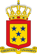
The different versions of Coat of arms of the Netherlands are shown here:
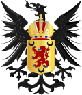
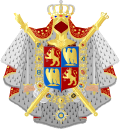
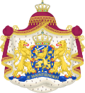 Greater (Royal) version
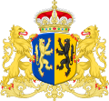
 Middle (State) version
 Lesser version
This is an armorial of the Kingdom of the Netherlands.
The different versions of Coat of arms of the Netherlands are shown here:


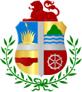
The coats of arms of the countries of the Kingdom of the Netherlands are shown here:


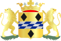
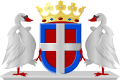
The coats of arms of the twelve provinces of the Netherlands are shown here:


The coats of arms of the three public bodies of the Caribbean Netherlands are shown here:


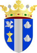
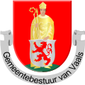
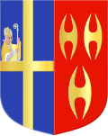
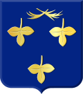
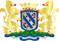
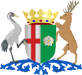
The coats of arms of the 342 municipalities of the Netherlands are shown here: The coats of arms are listed per province.


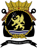
The coats of arms of the twenty-one water boards of the Netherlands are shown here:


The coats of arms of the seven catholic dioceses of the Netherlands are shown here:


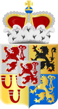
Members of the Dutch royal family receive their own personalised arms which are based on the royal arms.


The different versions used by the legislature and its chambers are shown here:


 | ||


