
The electoral district of Werribee is an electoral district of the Legislative Assembly in the Australian state of Victoria. It has existed in two incarnations, first from 1976 to 2002, and was created again in the 2013 redistribution and came into effect at the 2014 state election.
For the lower house seats in the Victorian Legislative Assembly, see South Bourke 1856–1889, or Evelyn and Mornington 1856–1859.

Members of the Victorian Legislative Council, the upper house of the Parliament of the Australian State of Victoria, are elected from eight multi-member electorates called regions. The Legislative Council has 40 members, five from each of the eight regions.

The Electoral district of South Bourke was an electoral district of the Legislative Assembly in then Australian colony of Victoria. It was one of the original 36 electoral districts of the Assembly. It covered an area east of Melbourne, bounded by Dandenong Creek in the south and east, Moorabbin, Prahran and Hawthorn in the west and Templestowe in the north. It was abolished in 1889.

Collingwood was an electoral district of the Legislative Assembly in the Australian state of Victoria from 1856 to 1958. It centred on the Melbourne suburb of Collingwood, Victoria.

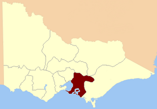
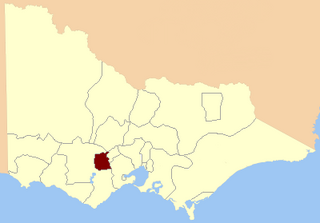
West Bourke was an electoral district of the Legislative Assembly in the Australian state of Victoria from 1856 to 1904.
East Bourke Boroughs was an electoral district of the Legislative Assembly in the Australian state of Victoria from 1859 to 1904.
Kilmore was an electoral district of the Legislative Assembly in the Australian state of Victoria centred on Kilmore from 1856 to 1877. It was superseded in 1877 by Kilmore and Anglesey.
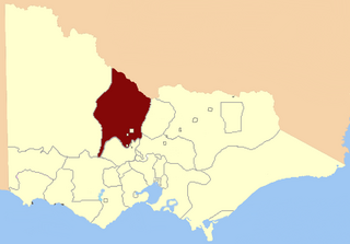
Loddon was an electoral district of the Legislative Assembly in the Australian state of Victoria from 1856 to 1859. It was based in northern Victoria around the Loddon River.
North Grenville was an electoral district of the Legislative Assembly in the Australian state of Victoria from 1856 to 1859. It was bordered on the east by the Yarrowee River and included an area south of Ballarat. The short-lived, rural district of North Grenville was one of the initial districts of the first Victorian Legislative Assembly, 1856.

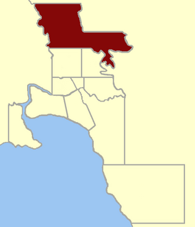
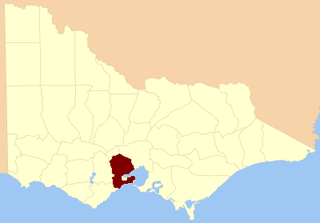
Sandhurst was an electoral district of the Legislative Assembly in the Australian state of Victoria from 1856 to 1904. It was based on the towns of Sandhurst (now Bendigo) and Lockwood.
South Grant was an electoral district of the Legislative Assembly in the Australian state of Victoria from 1856 to 1877.

Talbot was an electoral district of the Legislative Assembly in the Australian colony of Victoria from 1856 to 1859. It was based in western Victoria, bounded on the west by Bet Bet Creek, the north by the Loddon River, on the east by the Coliban River and included the area around the towns of Creswick, Daylesford and Carisbrook.
Jolimont and West Richmond was an electoral district of the Legislative Assembly in the Australian state of Victoria from 1889 to 1904. It was located in the inner eastern suburbs of Melbourne and included parts of Richmond and Jolimont.
North Melbourne was an electoral district of the Legislative Assembly in the Australian state of Victoria from 1859 to 1927.

The Electoral district of Gipps' Land was one of the original sixteen electoral districts of the old unicameral Victorian Legislative Council of 1851 to 1856. Victoria being a colony in Australia at the time.

The Electoral district of City of Melbourne was one of the original sixteen electoral districts of the old unicameral Victorian Legislative Council of 1851 to 1856; Victoria having been made a separate colony in Australia in the former year.

The Electoral district of North Bourke was one of the original sixteen electoral districts of the old unicameral Victorian Legislative Council of 1851 to 1856. Victoria being a colony in Australia at the time.

The Electoral district of Talbot, Dalhousie and Angelsey was one of the original sixteen electoral districts of the old unicameral Victorian Legislative Council of 1851 to 1856. Victoria being a colony in Australia at the time.
This is a list of members of the Victorian Legislative Assembly, from the 1902 state election held on 1 October 1902 to the 1904 state election held on 1 June 1904. From 1889 there were 95 seats in the Assembly.

