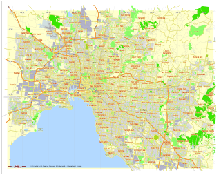
The electoral district of Caulfield is an electoral district of the Victorian Legislative Assembly. It covers the suburbs of Caulfield, Caulfield North, Caulfield South, Caulfield East, Elsternwick, Gardenvale, Ripponlea and Balaclava and parts of St Kilda East, St Kilda, Glen Huntly and Ormond.
Electoral district of Ormond was an electoral district of the Legislative Assembly in the Australian state of Victoria.
Electoral district of Moorabbin was an electoral district of the Legislative Assembly in the Australian state of Victoria.
The electoral district of Springvale was an electoral district of the Legislative Assembly in the Australian state of Victoria. It was replaced in 2002, by the electoral districts of Lyndhurst and Mulgrave.
Electoral district of Pakenham was an electoral district of the Legislative Assembly in the Australian state of Victoria.
Electoral district of Clifton Hill was an electoral district of the Legislative Assembly in the Australian state of Victoria. It centred on the north-eastern Melbourne suburb of Clifton Hill.
Electoral district of Reservoir was an electoral district of the Legislative Assembly in the Australian state of Victoria.
The electoral district of Yarraville was a district of the Legislative Assembly in the Australian state of Victoria.
The Electoral district of Wantirna was an electoral district of the Victorian Legislative Assembly. It was first created after the Electoral district of Scoresby was abolished in 1976. Geoff Hayes was the last member for Scoresby in its first incarnation, and the first for Wantirna. After the 2002 redistribution, the electorate was replaced, once again returning as the Electoral district of Scoresby. The last member of Wantirna, Kim Wells was also the first member for Scoresby, in its second incarnation.
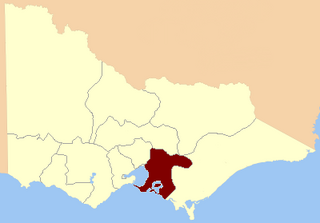
The Electoral district of Stawell and Ararat was an electoral district of the Victorian Legislative Assembly. It was created from the Electoral district of Stawell and Electoral district of Ararat which were abolished in 1904.
Electoral district of Tullamarine was an electoral district of the Legislative Assembly in the Australian state of Victoria. The district centred on the suburb of Tullamarine, about 17 km north-west of Melbourne.

The Electoral district of Evelyn and Mornington was an electoral district of the Victorian Legislative Assembly.
For the lower house seats in the Victorian Legislative Assembly, see South Bourke 1856–1889, or Evelyn and Mornington 1856–1859.
The Electoral district of Mernda was an electoral district of the Victorian Legislative Assembly. Mernda was created in the 1945 redistribution, created from the abolished Electoral district of Bulla and Dalhousie.

The electoral district of Anglesey was an electoral district of the Legislative Assembly in the Australian state of Victoria.

The Electoral district of South Bourke was an electoral district of the Legislative Assembly in then Australian colony of Victoria. It was one of the original 36 electoral districts of the Assembly. It covered an area east of Melbourne, bounded by Dandenong Creek in the south and east, Moorabbin, Prahran and Hawthorn in the west and Templestowe in the north. It was abolished in 1889.
The electoral district of Toorak was an electorate of the Victorian Legislative Assembly in the British colony and later Australian state of Victoria.
Dalhousie was an electoral district of the Legislative Assembly in the Australian state of Victoria from 1859 to 1927. It was based in north-western Victoria. The district had been named Electoral district of Anglesey. The district of Dalhousie was defined in the 1858 Electoral Act as :

Gippsland North was an electoral district of the Legislative Assembly in the Australian state of Victoria located in northern Gippsland from 1859 to 1955.
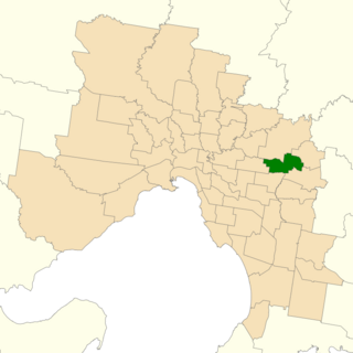
The electoral district of Ringwood is an electoral district of the Victorian Legislative Assembly. It was first proclaimed in 1958 and was abolished in 1992. The electorate was located to the east of Melbourne and centred on the suburb of Ringwood, after which it is named.