Related Research Articles
Electoral district of Ormond was an electoral district of the Legislative Assembly in the Australian state of Victoria.

Electoral district of South Melbourne was an electoral district of the Legislative Assembly in the British colony of Victoria (Australia).
The Electoral district of Stawell and Ararat was an electoral district of the Victorian Legislative Assembly. It was created from the Electoral district of Stawell and Electoral district of Ararat which were abolished in 1904.
The Electoral district of Rainbow was an electoral district of the Victorian Legislative Assembly.
The Electoral district of Ouyen was an electoral district of the Victorian Legislative Assembly.

The Electoral district of Maldon was an electoral district of the Victorian Legislative Assembly.

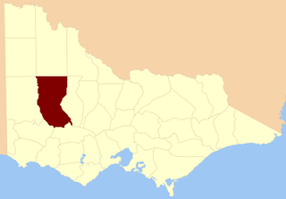
The electoral district of Wimmera was an electoral district of the Legislative Assembly in the Australian state of Victoria.
The electoral district of Warrenheip and Grenville was an electorate of the Victorian Legislative Assembly in the Australian state of Victoria. Created in 1927 by the Electoral Districts Act 1926 after the abolition of the electoral district of Warrenheip, the electorate was abolished in 1945.
The electoral district of Horsham was an electoral district of the Legislative Assembly in the Australian state of Victoria, centered on the town of Horsham, Victoria. It was created in 1889 and abolished in 1904.

The electoral district of Borung was an electorate of the Victorian Legislative Assembly in the Australian colony of Victoria, which existed in two incarnations, from 1889 to 1927, and then from 1945 to 1955.

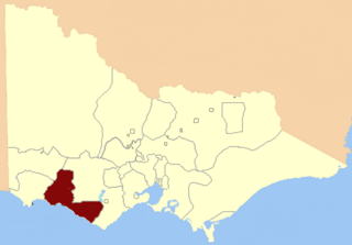
Villiers and Heytesbury was an electoral district of the Legislative Assembly in the Australian state of Victoria from 1856 to 1904. It was based in western Victoria, and included the area from Lake Corangamite along the coast westward past Port Fairy.

Port Fairy was an electoral district of the Legislative Assembly in the Australian state of Victoria from 1889 to 1927. It was created when the Electoral district of Belfast was renamed. Bryan O'Loghlen was the last member for Belfast, serving 1888–1889.

East Bourke was an electoral district of the Legislative Assembly in the Australian state of Victoria from 1856 until being abolished by the post-Federation Electoral Districts Boundaries Act 1903 coming into effect in 1904.

The Electoral district of Grant was one of the sixteen electoral districts of the original unicameral Victorian Legislative Council (Australia) of 1851 to 1856.

Grenville was an electoral district of the Legislative Assembly in the Australian state of Victoria from 1859 to 1927. It was located in western Victoria, south of Ballarat.
Kara Kara was an electoral district of the Legislative Assembly in the Australian state of Victoria from 1877 to 1927 and 1955 to 1976. It was based in north-western Victoria and included the subdivisions of Donald, Charlton, Minyip, Murtoa, St. Arnaud, Wedderburn, Inglewood, Dunnolly, Landsborough, Avoca, Maryborough and Carisbrook.
The Electoral district of Belfast and Warrnambool was one of the original sixteen electoral districts of the unicameral Legislative Council of the British colony of Victoria in 1851 to 1856.

The Electoral district of Talbot, Dalhousie and Angelsey was one of the original sixteen electoral districts of the old unicameral Victorian Legislative Council of 1851 to 1856. Victoria being a colony in Australia at the time.

The Electoral district of Wimmera was one of the original sixteen electoral districts of the old unicameral Victorian Legislative Council of 1851 to 1856. Victoria was a colony in Australia at the time.

The Electoral district of Villiers and Heytesbury was one of the original sixteen electoral districts of the old unicameral Victorian Legislative Council of 1851 to 1856. Victoria being a colony in Australia at the time.
References
- ↑ "Re-Member (Former Members)". State Government of Victoria. Retrieved 26 May 2014.
Coordinates: 36°38′S142°50′E / 36.633°S 142.833°E