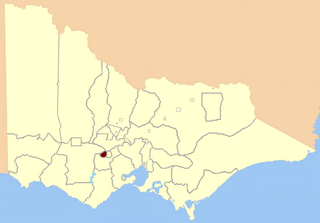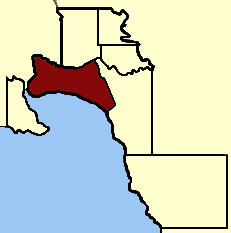
The Electoral district of Ballarat West was an electoral district of the Victorian Legislative Assembly in Australia. It existed from 1859–1927 and from 1992–2014.

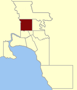
Electoral district of South Melbourne was an electoral district of the Legislative Assembly in the British colony of Victoria (Australia).
Electoral district of Eaglehawk was an electoral district of the Legislative Assembly in the Australian state of Victoria. It was created by the Electoral Act Amendment Act 1888, taking effect at the 1889 elections. It was abolished by the Electoral Districts Act 1926 (taking effect at the 1927 elections) when several new districts were created.
Melbourne West Province was an electorate of the Victorian Legislative Council from 1904 until 2006.

The Electoral district of Maldon was an electoral district of the Victorian Legislative Assembly.
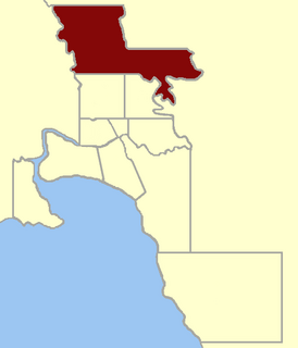
The electoral district of Jika Jika was an electoral district of the Legislative Assembly in the Australian state of Victoria. The district was defined by the Electoral Districts Boundaries Act 1903:
Commencing at the intersection of Nicholson-street and Scotchmer-street; thence east by Scotchmer-street to Falconer-street; thence north-easterly by that street to the Merri Creek; thence easterly and southerly by that creek to the Yarra River; thence easterly and north-easterly by the Yarra River to the Plenty River ; thence northerly by that river to the south boundary of section 17, parish of Keelbundora ; thence west by that boundary and the south boundaries of sections 16 and 15 to the Whittlesea-road; thence north-easterly by that road to the north boundary of section 15; thence west by the north boundaries of sections 15, 14, and 13 to the Merri Creek ; thence southerly by that creek to the north boundary of the parish of Jika Jika ; thence east by that boundary to the east boundary of section 148 in the last-named parish ; thence south by that boundary and James-street to Bell-street; thence west by Bell-street to the Merri Creek ; thence southerly by that creek to the north boundary creek to the north boundary of the parish of Jika Jika ; thence east by that boundary to the east boundary of section 148 in the last-named parish ; thence south by that boundary and James-street to Bell-street; thence west by Bell-street to the Merri Creek ; thence southerly by that creek to the north boundary of portion of 93 ; thence west by that boundary to Nicholson-street to the commencing point.

The Electoral district of Maryborough was an electorate of the Victorian Legislative Assembly based on an area around Maryborough, Victoria. It was created in the expansion of the Assembly by the Victorian Electoral Act, 1858, which took effect at the election in 1859.

Ararat was an electoral district of the Legislative Assembly in the Australian state of Victoria. The electorate was abolished in 1904 and replaced by the electoral district of Stawell and Ararat.

Members of the Victorian Legislative Council, the upper house of the Parliament of the Australian State of Victoria, are elected from eight multi-member electorates called regions. The Legislative Council has 40 members, five from each of the eight regions.

Emerald Hill was an electoral district of the Victorian Legislative Assembly, Australia. It covered part of the inner-city suburb South Melbourne and consisted part of the previous Electoral district of South Melbourne which was abolished in 1859..
The electoral district of Warrenheip and Grenville was an electorate of the Victorian Legislative Assembly in the Australian state of Victoria. Created in 1927 by the Electoral Districts Act 1926 after the abolition of the electoral district of Warrenheip, the electorate was abolished in 1945.
North Central Province was an electorate of the Victorian Legislative Council (Australia). It was created in the redistribution of provinces in 1882 when the Central and Eastern Provinces were abolished. The new North Central Province, South Yarra, North Yarra, South Eastern and Melbourne Provinces were then created.
Melbourne South Province was an electorate of the Victorian Legislative Council. It was created in June 1904 when Melbourne Province was reduced in size and North Yarra Province and South Yarra Province were abolished. The new Melbourne South, Melbourne North, Melbourne East and Melbourne West Provinces were then created.

Collingwood was an electoral district of the Legislative Assembly in the Australian state of Victoria from 1856 to 1958. It centred on the Melbourne suburb of Collingwood, Victoria.

East Bourke Boroughs was an electoral district of the Legislative Assembly in the Australian state of Victoria from 1859 to 1904.

East Melbourne was an electoral district of the Legislative Assembly in the Australian state of Victoria from 1859 to 1927.

Grenville was an electoral district of the Legislative Assembly in the Australian state of Victoria from 1859 to 1927. It was located in western Victoria, south of Ballarat.
Jolimont and West Richmond was an electoral district of the Legislative Assembly in the Australian state of Victoria from 1889 to 1904. It was located in the inner eastern suburbs of Melbourne and included parts of Richmond and Jolimont.

Ripon and Hampden was an electoral district of the Legislative Assembly in the Australian state of Victoria from 1859 to 1904. It was based in western Victoria.

The Electoral district of City of Melbourne was one of the original sixteen electoral districts of the old unicameral Victorian Legislative Council of 1851 to 1856; Victoria having been made a separate colony in Australia in the former year.


