Franconia Township, Montgomery County, Pennsylvania

Last updated
Franconia Township
Bridge in Franconia Township.JPG
Skippack Creek at Allentown Road
Franconia Township Montgomery County.png
Location of Pennsylvania in the United States
Coordinates: 40°18′34″N75°21′22″W / 40.30944°N 75.35611°W / 40.30944; -75.35611 Coordinates: 40°18′34″N75°21′22″W / 40.30944°N 75.35611°W / 40.30944; -75.35611
CountryUnited States
StatePennsylvania
County Montgomery
Area
[1]
  Total13.85 sq mi (35.9 km2)
  Land13.83 sq mi (35.8 km2)
  Water0.02 sq mi (0.05 km2)
Elevation
407 ft (124 m)
Population
 (2010)
  Total13,064
  Estimate 
(2016) [2]
13,263
  Density940/sq mi (360/km2)
Time zone UTC-5 (EST)
  Summer (DST) UTC-4 (EDT)
Area codes 215, 267 and 445
FIPS code 42-091-27280
Website www.franconiatownship.org

Franconia Township is a township in Montgomery County, Pennsylvania, United States. The population was 13,064 at the 2010 census.

Contents

History

Franconia Township was founded in the late 1720s. [3] The name means "Land Of The Franks", and most of the settlers were Germans seeking religious freedom.

The Bridge in Franconia Township was listed on the National Register of Historic Places in 1988. [4]

Geography

According to the United States Census Bureau, the township has a total area of 13.9 square miles (36 km2), of which 13.8 square miles (36 km2) is land and 0.07% is water. It is in the Delaware watershed and is drained by the East Branch Perkiomen Creek and the West Branch Neshaminy Creek. The township's villages include Earlington, Franconia, Morwood and Reliance. Route 113 crosses it from northeast to southwest and its other major road is north-to-south Allentown Road.

Neighboring municipalities

Demographics

Historical population
CensusPop.Note
1850 1,270
1860 1,57924.3%
1870 1,95924.1%
1880 2,55630.5%
1890 2,258−11.7%
1930 1,915
1940 2,0406.5%
1950 2,77436.0%
1960 3,91041.0%
1970 5,24534.1%
1980 6,54524.8%
1990 7,22410.4%
2000 11,52359.5%
2010 13,06413.4%
2020 13,2591.5%
[5] [6]

As of the 2010 census, the township was 93.2% White, 1.6% Black or African American, 0.2% Native American, 3.3% Asian, and 1.2% were two or more races. 1.8% of the population were of Hispanic or Latino ancestry. [7]

At the 2000 census there were 11,523 people, 4,151 households, and 3,300 families living in the township. The population density was 833.1 people per square mile (321.7/km2). There were 4,236 housing units at an average density of 306.2/sq mi (118.3/km2). The racial makeup of the township was 96.57% White, 0.86% African American, 0.08% Native American, 1.71% Asian, 0.01% Pacific Islander, 0.30% from other races, and 0.47% from two or more races. Hispanic or Latino of any race were 0.89%. [8]

There were 4,151 households, 35.1% had children under the age of 18 living with them, 72.2% were married couples living together, 5.3% had a female householder with no husband present, and 20.5% were non-families. 18.0% of households were made up of individuals, and 11.6% were one person aged 65 or older. The average household size was 2.70 and the average family size was 3.07.

The age distribution was 25.2% under the age of 18, 5.0% from 18 to 24, 28.8% from 25 to 44, 21.4% from 45 to 64, and 19.6% 65 or older. The median age was 40 years. For every 100 females there were 90.6 males. For every 100 females age 18 and over, there were 86.0 males.

The median household income was $62,126 and the median family income was $67,209. Males had a median income of $49,952 versus $32,925 for females. The per capita income for the township was $25,751. About 1.4% of families and 3.1% of the population were below the poverty line, including 3.3% of those under age 18 and 6.9% of those age 65 or over.

Transportation

The Pennsylvania Turnpike Northeast Extension (I-476) in Franconia Township 2022-10-14 13 29 42 View north along Interstate 476 (Pennsylvania Turnpike Northeast Extension) from the overpass for Morwood Road in Franconia Township, Montgomery County, Pennsylvania.jpg
The Pennsylvania Turnpike Northeast Extension (I-476) in Franconia Township

As of 2018 there were 79.47 miles (127.89 km) of public roads in Franconia Township, of which 2.50 miles (4.02 km) were maintained by the Pennsylvania Turnpike Commission (PTC), 19.59 miles (31.53 km) were maintained by the Pennsylvania Department of Transportation (PennDOT) and 57.38 miles (92.34 km) were maintained by the township. [9]

Interstate 476 is the most prominent highway traversing Franconia, following the Pennsylvania Turnpike Northeast Extension along a northwest-southeast alignment across the western and southwestern portion of the township. However, the nearest interchange is south of Franconia in Towamencin Township. Pennsylvania Route 113 is the other numbered highway traversing the township, following a northeast-southwest alignment across northern and western portions of Franconia along Harleysville Pike.

The northeastern edge of Franconia Township near Souderton is served by SEPTA bus Route 132, which runs between the Montgomery Mall and Telford. [10]

Politics and government

Presidential elections results [11]
Year Republican Democratic
2020 55.4%4,78142.9% 3,700
2016 58.9%4,25936.32% 2,630
2012 63.9%4,48935.2% 2,478
2008 59.5%4,11939.7% 2,746
2004 66.6%4,05433.0% 2,009
2000 66.6%3,20931.3% 1,511
1996 62.8%2,32127.5% 1,016
1992 58.8%1,91523.3% 760

The township is part of Pennsylvania's 53rd Representative District, represented by Rep. Steve Malagari since 2019.

Related Research Articles

<span class="mw-page-title-main">Hilltown Township, Bucks County, Pennsylvania</span> Township in Pennsylvania, United States

Hilltown Township is a township in Bucks County, Pennsylvania, United States. The population was 15,029 at the 2010 census. Most of Hilltown is part of Pennridge School District, while a small portion in Line Lexington is part of North Penn School District.

<span class="mw-page-title-main">Lower Southampton Township, Bucks County, Pennsylvania</span> Township in Pennsylvania, United States

Lower Southampton Township is a township in Bucks County, Pennsylvania. The population was 20,599 at the 2020 census.

<span class="mw-page-title-main">Upper Southampton Township, Bucks County, Pennsylvania</span> Township in Pennsylvania, United States

Upper Southampton Township is a township in Bucks County, Pennsylvania, United States. The population was 15,152 at the 2010 census.

<span class="mw-page-title-main">West Rockhill Township, Bucks County, Pennsylvania</span> Township in Pennsylvania, United States

West Rockhill Township is a township in Bucks County, Pennsylvania, United States. The original Rockhill Township was established in 1740 and was divided into East Rockhill and West Rockhill Townships in 1890. The population was 5,256 at the 2010 census. West Rockhill Township is part of Pennridge School District.

<span class="mw-page-title-main">Harleysville, Pennsylvania</span> Census-designated place in Pennsylvania, United States

Harleysville is a census-designated place (CDP) in Montgomery County, Pennsylvania, United States. It is a suburb of Philadelphia. The population was 9,286 at the 2010 census. It is located mostly within Lower Salford Township and also in Franconia Township. Harleysville was settled by Pennsylvania Dutch in the 18th century and was named after Samuel Harley.

<span class="mw-page-title-main">Hatfield, Pennsylvania</span> Borough in Pennsylvania, United States

Hatfield is a borough in Montgomery County, Pennsylvania, United States. The population was 3,290 at the time of the 2010 census. It is part of the North Penn Valley region that is centered around the borough of Lansdale. The borough is surrounded by Hatfield Township.
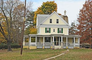
<span class="mw-page-title-main">Hatfield Township, Montgomery County, Pennsylvania</span> Township in Pennsylvania, United States

Hatfield Township is a township in Montgomery County, Pennsylvania, United States. The population was 17,249 at the 2010 census. It is part of the North Penn Valley region which is centered around the borough of Lansdale.

<span class="mw-page-title-main">Limerick Township, Montgomery County, Pennsylvania</span> Township in Pennsylvania, United States

Limerick Township is a township in Montgomery County, Pennsylvania, United States.

<span class="mw-page-title-main">Lower Gwynedd Township, Montgomery County, Pennsylvania</span> Township in Pennsylvania, United States

Lower Gwynedd Township is a township in Montgomery County, Pennsylvania, United States. The population was 11,405 at the 2010 census. The township comprises four villages: Gwynedd, Gwynedd Valley, Penllyn, and Spring House. While its postal address is in Ambler, Pennsylvania (19002), it is separate from the Borough of Ambler.
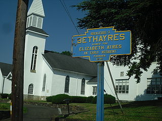
<span class="mw-page-title-main">Lower Moreland Township, Montgomery County, Pennsylvania</span> Township in Pennsylvania, United States

Lower Moreland Township is a township in Montgomery County, Pennsylvania, United States. The population was 12,982 at the 2010 census.
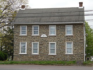
<span class="mw-page-title-main">Lower Salford Township, Montgomery County, Pennsylvania</span> Township in Pennsylvania, United States

Lower Salford is a township in Montgomery County, Pennsylvania. It is located one mile west of the Lansdale exit of the Pennsylvania Turnpike. It is centered on the intersection of Route 63, and Route 113.

<span class="mw-page-title-main">Plymouth Township, Montgomery County, Pennsylvania</span> First Class Township with home rule in Pennsylvania, United States

Plymouth Township is a township with home rule status in Montgomery County, Pennsylvania. The township has been governed by a home rule charter since 1976 and is no longer subject to the Pennsylvania Township Code. The population was 16,525 at the 2010 census. It is serviced by the Colonial School District and is home to the Plymouth Meeting Mall.

<span class="mw-page-title-main">Salford Township, Montgomery County, Pennsylvania</span> Township in Pennsylvania, United States

Salford Township is a township in Montgomery County, Pennsylvania, United States. The population was 2,504 at the 2010 census.
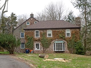
<span class="mw-page-title-main">Skippack Township, Montgomery County, Pennsylvania</span> Township in Pennsylvania, United States

Skippack Township is a township in Montgomery County, Pennsylvania, United States. The population was 13,715 at the 2010 census. This represents a 110.5% increase from the 2000 count of 6,516 residents.
<span class="mw-page-title-main">Souderton, Pennsylvania</span> Borough in Pennsylvania, United States

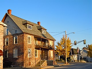
Souderton is a borough in Montgomery County, Pennsylvania, United States. The population was 7,191 at the 2020 census.

<span class="mw-page-title-main">Towamencin Township, Montgomery County, Pennsylvania</span> Township in Pennsylvania, United States

Towamencin Township is a township in Montgomery County, Pennsylvania, United States. The population was 17,578 at the 2010 census. It is part of the North Penn School District and the North Penn Valley region that is centered around the borough of Lansdale. Towamencin has residential neighborhoods, historic farmhouses, recreational facilities, many schools, and open spaces. The community is a mix of residential, commercial and rural development. The Township is centrally located within Montgomery County with easy access to the Pennsylvania Turnpike’s Northeast Extension.

<span class="mw-page-title-main">Upper Gwynedd Township, Montgomery County, Pennsylvania</span> Township in Pennsylvania, United States

Upper Gwynedd Township is a township in Montgomery County, Pennsylvania. The population was 15,552 at the time of the 2010 census. North Wales Borough is surrounded by Upper Gwynedd Township on all sides, and many homes and businesses with North Wales addresses are actually in Upper Gwynedd. Many properties with Lansdale addresses are in Upper Gwynedd as well. It is part of the North Penn Valley region that is centered around the borough of Lansdale.

<span class="mw-page-title-main">Upper Salford Township, Montgomery County, Pennsylvania</span> Township in Pennsylvania, United States

Upper Salford Township is a township in Montgomery County, Pennsylvania, United States. The population was 3,299 at the 2010 census.
<span class="mw-page-title-main">Worcester Township, Montgomery County, Pennsylvania</span> Township in Pennsylvania, United States

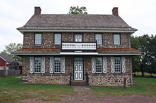
Worcester Township is a township in Montgomery County, Pennsylvania, United States. The population was 9,750 at the 2010 census. It is pronounced as 'WOR-ses-ter.'
<span class="mw-page-title-main">Telford, Pennsylvania</span> Borough in Pennsylvania, United States

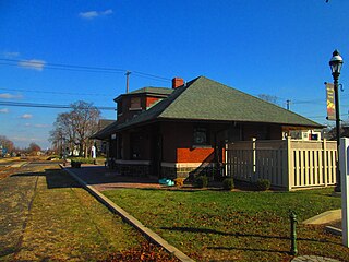
Telford is a borough in Bucks and Montgomery counties in the U.S. state of Pennsylvania. The population was 4,872 at the time of the 2010 census. Of this, 2,665 were in Montgomery County, and 2,207 were in Bucks County.

References

  1. "2016 U.S. Gazetteer Files". United States Census Bureau. Retrieved Aug 14, 2017.
  2. "Population and Housing Unit Estimates" . Retrieved June 9, 2017.
  3. "Franconia Township History". Franconia Township. Archived from the original on 2017-11-23.
  4. "National Register Information System". National Register of Historic Places . National Park Service. July 9, 2010.
  5. (DVRPC), Delaware Valley Regional Planning Commission. "DVRPC > Site Search". www.dvrpc.org.
  6. "Census 2020".
  7. "Census 2010: Pennsylvania - USATODAY.com". USA TODAY News. Retrieved Sep 19, 2020.
  8. "U.S. Census website". United States Census Bureau . Retrieved 2008-01-31.
  9. "Franconia Township map" (PDF). PennDOT. Retrieved March 10, 2023.
  10. SEPTA Official Transit & Street Map Suburban (PDF) (Map). SEPTA. Retrieved May 2, 2016.
  11. "Montco Election Results".