
Hardington Mandeville is a village and civil parish in Somerset, England, situated 3 miles (4.8 km) south west of Yeovil in the South Somerset district. The village has a population of 585.

Gordano is an area of North Somerset, in England. It has been designated as a National Nature Reserve.

Plantlife is a wild plant conservation charity. As of 2023, it manages 24 nature reserves around the United Kingdom. HM King Charles III is patron of the charity.
Yanal Bog is a 1.6 hectare biological Site of Special Scientific Interest on the southern edge of the North Somerset Levels, just north of the village of Sandford, North Somerset. It was notified as an SSSI in 1988.

Plaster's Green Meadows is a 4.3 hectare biological Site of Special Scientific Interest near the village of Nempnett Thrubwell, Bath and North East Somerset, notified in 1989.

Tickenham, Nailsea and Kenn Moors SSSI is a 129.4 hectare biological Site of Special Scientific Interest between Tickenham, Nailsea and Kenn on the North Somerset Levels, notified in 1995.

Puxton Moor is a 31.07 ha biological Site of Special Scientific Interest on the North Somerset Levels, near Puxton, North Somerset, notified in 1994. It is a large area of pasture land networked with species-rich rhynes, now owned and managed as a nature reserve by Avon Wildlife Trust.

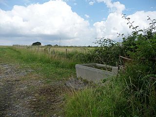
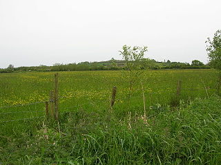
Catcott, Edington and Chilton Moors SSSI is a 1083 hectare biological Site of Special Scientific Interest in Somerset, England notified in 1967. It is close to the villages of Edington and Catcott.

West Coker is a large village and civil parish in Somerset, England, situated 3 miles (4.8 km) south west of Yeovil in the South Somerset district.
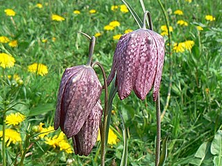
Barrington Hill Meadows is a 16.1 hectare biological Site of Special Scientific Interest in Somerset, England, notified in 1987.

Tealham and Tadham Moors is a 917.6 hectare biological Site of Special Scientific Interest south of Wedmore in Somerset, notified in 1985.
West Moor is a 213.0 hectare biological Site of Special Scientific Interest on the River Parrett in Somerset, notified in 1985.
Redlake Meadows & Hoggs Moor is a Site of Special Scientific Interest (SSSI), noted for its biological characteristics, in Cornwall, England, UK. Within the SSSI is Redlake Cottage Meadows nature reserve owned by the Cornwall Wildlife Trust.
Elmlea Meadows is a 6.9-hectare (17-acre) biological Site of Special Scientific Interest in Gloucestershire, England, notified in 1989. The site is listed in the 'Cotswold District' Local Plan 2001-2011 as a Key Wildlife Site (KWS).

Adelaide Local Nature Reserve is in North West London, in the area of Chalk Farm, Primrose Hill, Belsize Park and Swiss Cottage. It is managed by a local volunteer group, the Adelaide Nature Reserve Association, which works with the council to improve the site for wildlife and local community use and enjoyment. The site is a Local Nature Reserve and Site of Borough Importance for Nature Conservation, Grade 1.

Kings Wood and Glebe Meadows is a 36.1-hectare (89-acre) Site of Special Scientific Interest in Houghton Conquest in Bedfordshire. A local teenage boy, Peter Sollars, discovered many rich communities of plants there, including a number of rare species, e.g. Butcher's Broom, Small Teasel and Green Hellebore in the wood, and combinations of Lady's Bedstraw, Spiny Restharrow, Great Burnet, Adders Tongue Fern and Cowslips in the meadows. The County Botanist at the time, John Dony, was notified of his findings, which were confirmed by a site visit with Peter. The site was notified in 1984 under the Wildlife and Countryside Act 1981, and the planning authority is Central Bedfordshire. It is also a Local Nature Reserve.

