
Montgomery County is a county located in the U.S. state of Illinois. According to the 2010 census, it had a population of 30,104. Its county seat is Hillsboro.

Litchfield is a city in Montgomery County, Illinois, United States. The population was 6,939 at the 2010 census, and 6,753 in 2018. It is located in south central Illinois, south of Springfield, Illinois and part of the Metro East of St. Louis
Litchfield Township may refer to the following places in the United States:
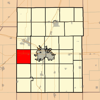
Scott Township is a township in Champaign County, Illinois, USA. As of the 2010 census, its population was 1,258 and it contained 556 housing units.

Cahokia Township is located in Macoupin County, Illinois, United States. As of the 2010 census, its population was 3,378 and it contained 1,594 housing units.

Girard Township is located in Macoupin County, Illinois, United States. As of the 2010 census, its population was 2,466 and it contained 1,102 housing units.
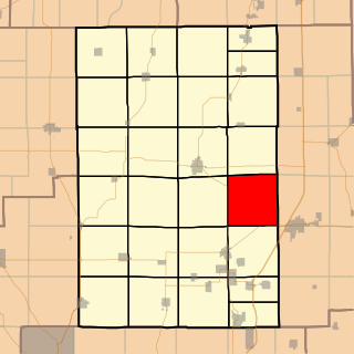
Honey Point Township is located in Macoupin County, Illinois, United States. As of the 2010 census, its population was 155 and it contained 87 housing units.

Mt. Olive Township is located in Macoupin County, Illinois, United States. As of the 2010 census, its population was 3,274 and it contained 1,536 housing units.
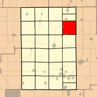
Nilwood Township is located in Macoupin County, Illinois, United States. As of the 2010 census, its population was 637 and it contained 293 housing units.
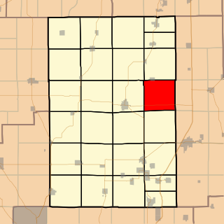
Shaws Point Township is located in Macoupin County, Illinois, United States. As of the 2010 census, its population was 532 and it contained 233 housing units.

Bois D'Arc Township is located in Montgomery County, Illinois, United States. As of the 2010 census, its population was 956 and it contained 451 housing units.

Butler Grove Township is located in Montgomery County, Illinois, United States. As of the 2010 census, its population was 775 and it contained 374 housing units.

Grisham Township is located in Montgomery County, Illinois, United States. As of the 2010 census, its population was 629 and it contained 318 housing units.

North Litchfield Township is located in Montgomery County, Illinois, United States. As of the 2010 census, its population was 5,148 and it contained 2,315 housing units.

Raymond Township is located in Montgomery County, Illinois, United States. As of the 2010 census, its population was 1,200 and it contained 545 housing units.

South Fillmore Township was a civil township of Montgomery County, Illinois, United States. It consisted of the northern two-thirds of survey Township 7 North, Range 2 West of the Third Principal Meridian. It was split from Fillmore Township in 1921, and annexed back into Fillmore Township in May 2017.

South Litchfield Township is located in Montgomery County, Illinois, United States. As of the 2010 census, its population was 3,408 and it contained 1,579 housing units.

Walshville Township is located in Montgomery County, Illinois, United States. As of the 2010 census, its population was 347 and it contained 162 housing units.

Zanesville Township is located in Montgomery County, Illinois. As of the 2010 census, its population was 491 and it contained 189 housing units.

Honey Bend is an unincorporated community in North Litchfield Township, Montgomery County, Illinois, United States. Honey Bend is located on County Route 26 and the Norfolk and Southern Railroad, 5.8 miles (9.3 km) north-northeast of Litchfield.


