
Esk is a rural town and locality in the Somerset Region in South East Queensland, Australia. In the 2021 census, the locality of Esk had a population of 1,641 people.
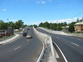
Petrie is a suburb in the City of Moreton Bay, Queensland, Australia. In the 2021 census, Petrie had a population of 8,722 people.

Roadvale is a rural locality in the Scenic Rim Region, Queensland, Australia. In the 2021 census, the locality of Roadvale had a population of 303 people.
Marburg is a rural town in the City of Ipswich and a locality split between the City of Ipswich and the Somerset Region, both in Queensland, Australia. In the 2021 census, the locality of Marburg had a population of 1,013 people.

Dayboro is a rural town and locality in the City of Moreton Bay, Queensland, Australia. In the 2021 census, the locality of Dayboro had a population of 2,376 people.

Aratula is a rural town and locality in the Scenic Rim Region, Queensland, Australia. In the 2021 census, the locality of Aratula had a population of 609 people.
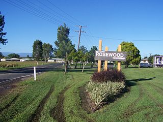
Rosewood is a rural town and locality in the City of Ipswich, Queensland, Australia. In the 2021 census, the locality of Rosewood had a population of 3,263 people.

Grandchester is a rural town and locality in the City of Ipswich, Queensland, Australia. In the 2021 census, the locality of Grandchester had a population of 467 people.

Lawnton is a suburb in the City of Moreton Bay, Queensland, Australia. In the 2021 census, Lawnton had a population of 5,905 people.

Wulkuraka is a western suburb of Ipswich in the City of Ipswich, Queensland, Australia. In the 2021 census, Wulkuraka had a population of 1,325 people.
Walloon is a town and rural residential locality in the City of Ipswich, Queensland, Australia. In the 2021 census, the locality of Walloon had a population of 2,305 people.

Tallegalla is a rural locality in the City of Ipswich, Queensland, Australia. In the 2021 census, Tallegalla had a population of 351 people.
Willowbank is a rural locality in the City of Ipswich, Queensland, Australia. In the 2021 census, Willowbank had a population of 1,351 people.

Ebenezer is a rural locality in the City of Ipswich, Queensland, Australia. In the 2021 census, Ebenezer had a population of 301 people.
Jeebropilly is a rural locality in the City of Ipswich, Queensland, Australia. In the 2021 census, Jeebropilly had "no people or a very low population".

Kalbar is a rural town and locality in the Scenic Rim Region, Queensland, Australia. In the 2021 census, the locality of Kalbar had a population of 1,246 people.

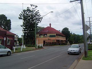
Harrisville is a rural town and locality in the Scenic Rim Region, Queensland, Australia. In the 2021 census, the locality of Harrisville had a population of 667 people.

Mutdapilly is a rural locality in south-east Queensland, Australia. It is split between the local government areas of Scenic Rim Region and City of Ipswich. In the 2021 census, Mutdapilly had a population of 308 people.

Goomburra is a rural town and locality in the Southern Downs Region, Queensland, Australia. In the 2021 census, the locality of Goomburra had a population of 256 people.
Anthony is a rural locality in the Scenic Rim Region, Queensland, Australia. In the 2021 census, Anthony had a population of 133 people.


