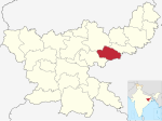
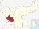
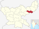
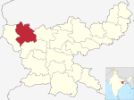
| Districts of Jharkhand | |
|---|---|
 Districts of Jharkhand | |
| Category | Districts |
| Location | Jharkhand |
| Number | 24 districts |
| Populations | Lohardaga – 461,790 (lowest); Ranchi – 2,914,253 (highest) |
| Areas | Ramgarh – 1,341 km2 (518 sq mi) (smallest); West Singhbhum – 7,224 km2 (2,789 sq mi) (largest) |
| Government | |
| Subdivisions | |
Jharkhand, a state of India, has twenty-four administrative districts. [1]