The Arctic Archipelago, also known as the Canadian Arctic Archipelago, groups together all islands lying to the north of the Canadian continental mainland excluding Greenland.

This is a list of the extreme points of North America: the points that are highest and lowest, and farther north, south, east or west than any other location on the continent. Some of these points are debatable, given the varying definitions of North America.

In geology, the places known as hotspots or hot spots are volcanic regions thought to be fed by underlying mantle that is anomalously hot compared with the surrounding mantle. Examples include the Hawaii, Iceland and Yellowstone hotspots. A hotspot's position on the Earth's surface is independent of tectonic plate boundaries, and so hotspots may create a chain of volcanoes as the plates move above them.

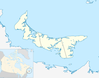
St. John's Parish was created as a civil parish in Queens County, Prince Edward Island, Canada, during the 1764-1766 survey of Samuel Holland.

St. Patrick's Parish was created as a civil parish in Kings County, Prince Edward Island, Canada, during the 1764-1766 survey of Samuel Holland.

East Parish was created as a civil parish in Kings County, Prince Edward Island, Canada, during the 1764-1766 survey of Samuel Holland.

St. George's Parish was created as a civil parish in Kings County, Prince Edward Island, Canada, during the 1764-1766 survey of Samuel Holland.

St. Andrew's Parish was created as a civil parish in Kings County, Prince Edward Island, Canada, during the 1764-1766 survey of Samuel Holland.

Fortune Bridge is a small unincorporated area on Lot 43, East Parish, King County, Prince Edward Island, Canada. It is located west of the Town of Souris.
The Ferguson River originates on the eastern bank of Ferguson Lake within the northern Hearne Domain, Western Churchill province of the Churchill craton, the northwest section of the Canadian Shield in Nunavut's Kivalliq Region.
In 1998, 1. deild was the top tier league in Faroe Islands football.
In 1999, 1. deild was the top tier league in Faroe Islands football.
In 2001, 1. deild was the top tier league in Faroe Islands football.

Jakunowo is a village in the administrative district of Gmina Węgorzewo, within Węgorzewo County, Warmian-Masurian Voivodeship, in northern Poland, close to the border with the Kaliningrad Oblast of Russia. It lies approximately 6 kilometres (4 mi) north of Węgorzewo and 99 km (62 mi) north-east of the regional capital Olsztyn.

Eldon is a community in Queens County, Prince Edward Island, Canada. Eldon is southeast of Charlottetown in the township of Lot 57.

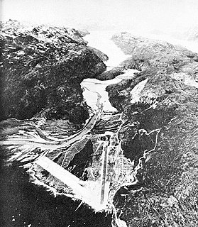
Bluie was the United States military code name for Greenland during World War II. It is remembered by the numbered sequence of base locations identified by the 1941 United States Coast Guard South Greenland Survey Expedition, and subsequently used in radio communications by airmen unfamiliar with pronunciation of the Inuit and Old Norse names of those locations. These were typically spoken BLUIE (direction) (number), with direction being east or west along the Greenland coast from Cape Farewell.


