
State Highway 7 is a major New Zealand state highway. One of the eight national highways, it crosses the Southern Alps to link the West Coast Region with Canterbury and to form a link between the South Island's two longest highways, State Highway 1 and State Highway 6. Distances are measured from east to west with the major junction list going from east to west.

State Highway 30 (SH 30) is a New Zealand state highway, linking the Waikato and Bay of Plenty towns of Te Kuiti, Mangakino, Rotorua, and Whakatane.
State Highway 49 (SH 49) is a New Zealand state highway, linking SH 4 and SH 1, via the tourist town of Ohakune. It forms the southern part of the ring road surrounding Tongariro National Park and provides access to the southern side of Mount Ruapehu and the Turoa skifield. It roughly follows the North Island Main Trunk railway.
State Highway 45 (SH 45) is a New Zealand state highway which has the moniker of the Surf Highway due to the number of prominent surfing breaks that are accessible from it.
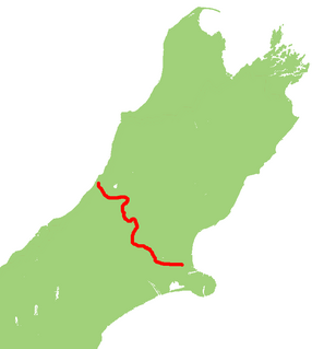
State Highway 73 is a major east-west South Island state highway in New Zealand connecting Christchurch on the east coast with Cass/Hokitika via the Southern Alps. It is mostly two lane, with some single-lane bridges north of Springfield but is mostly dual carriageway in Christchurch. The fourth and fifth-highest points of New Zealand's state highway network are on this road at Porters Pass and Arthur's Pass respectively.

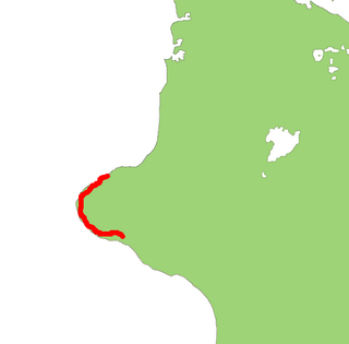
State Highway 83 is a South Island state highway in New Zealand running up the Waitaki Valley between the settlements of Pukeuri and Omarama. It forms part of the southernmost of the east-west roads crossing the South Island.

State Highway 57 is a New Zealand state highway, linking State Highway 1 north of Ohau to State Highway 3 east of Ashhurst, via Levin, Shannon, Massey University and the southern suburbs of Palmerston North. The highway connects State Highway 1 traffic coming north from Wellington to the city of Palmerston North, and further to the Manawatu Gorge, allowing passage to the eastern side of the North Island and to the twin cities of Napier and Hastings. The highway is classified by the NZTA as a national strategic road.
State Highway 11 (SH 11) is a 30 kilometre stretch of highway in the North Island of New Zealand. It links SH 10 at Puketona and SH 1 at Kawakawa. Its main destination is the Bay of Islands township of Paihia. Until 2004, it terminated at Tohitapu Road, in southern Paihia township.

State Highway 12 is a New Zealand state highway in the far north of the North Island. It connects with SH 1 at both its northern and southern end. It runs close to the west coast of the Northland Region of New Zealand.
State Highway 97 (SH 97) is a New Zealand State Highway connecting the settlements of Five Rivers and Mossburn in the Southland region. The highway was gazetted in 2004 to reflect the increasing amount of traffic between the tourist destinations of Queenstown and Fiordland National Park and provides a bypass of the town of Lumsden, where SH 6 and 94 intersect.
State Highway 41 (SH 41) is a New Zealand state highway in the central North Island that runs from Manunui, just south of Taumarunui on SH 4 to Turangi just north of the Desert Road. It compromises part of the western bypass of Lake Taupo along with SH 32.
State Highway 25 is a North Island state highway in New Zealand that loops around the Coromandel Peninsula. It is a major route for holidaymakers and tourists which has access to some of New Zealand's most idyllic beach holiday spots. The summer period around Christmas and New Year's Eve is a particularly busy period for the highway. The road is very scenic, but also windy in many parts as well as single carriage on the entire route, and is prone to accidents. It is New Zealand's third longest two-digit state highway, after SH 35 and SH 94. It is part of the Pacific Coast Highway.
State Highway 47 (SH 47) is a New Zealand state highway in the central North Island. It provides a link from SH 4 at National Park to SH 41 at Tokaanu just west of Turangi.
State Highway 54 (SH 54) is a New Zealand state highway in the Manawatu district in the North Island. It runs from SH 3 at Newbury to SH 1 near Hunterville. This highway connects the Manawatu agricultural town of Feilding as well as forming an alternative route to travel from the Central North Island volcanic plateau to the city of Palmerston North.
State Highway 15 (SH 15) is a New Zealand state highway in the Northland region of the North Island. It is 126.5 km long and provides an alternative route to SH 1 between the Kaikohe and Whangarei areas; a spur also links SH 1 with the Marsden Point Oil Refinery and Northport.
State Highway 31 (SH 31) is a New Zealand state highway in the Waikato region. It provides a link to the harbour town of Kawhia on the west coast of the North Island.
State Highway 36 (SH 36) is a New Zealand state highway in the Bay of Plenty region in the North Island. It is one of two state highways that form a north-south connection between the cities of Tauranga and Rotorua, SH 36 being the most westerly of the two. It was identified as a quicker route to access the two cities and extensive work was done to upgrade the rural route to state highway quality.
The Inland Kaikoura Road, formerly designated State Highway 70, is a provincial highway in the South Island of New Zealand that runs from just south of Kaikoura to just north of Culverden via Waiau and Rotherham. White shields are used to signify this highway. It forms part of the Alpine Pacific Triangle tourist route. It also serves as an alternative inland route in cases where SH 1 is closed near the South Kaikoura coast. Following the 2016 Kaikoura earthquake, all roads into Kaikoura were closed including Route 70; it was the first road connection to Kaikoura to reopen in mid-December.


