This article relies largely or entirely on a single source .(September 2022) |
Barangay Ugong Hugong | |
|---|---|
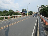
 Aerial view of Barangay Ugong | |
| Nickname: Ugong | |
| Motto: | |
 | |
 Barangay Ugong Ugong | |
| Coordinates: 14°35′03″N121°04′22″E / 14.5842°N 121.0729°E | |
| Country | Philippines |
| Region | Metro Manila |
| City | Pasig |
| District | 1st district of Pasig |
| Government | |
| • Type | Barangay |
| • Barangay Captain | Gloria P. Cruz |
| Area | |
• Total | 5,931.6 km2 (2,290.2 sq mi) |
| • Land | 375.38 km2 (144.94 sq mi) |
| Population (2010) | |
• Total | 22,266 |
| Demonym | Taga-Ugong |
| Time zone | UTC+8 (Philippine Standard Time) |
| Range | Marikina Valley Fault Ridge |
Ugong is a highly urbanized barangay located in the northwestern portion of Pasig. Today, barangay Ugong is further subdivided into south which is part of Pasig, while the northern boundary of Ugong, Ugong Norte, is under Quezon City. It is also the location of Arcovia City, which was designated as a Special Economic Zone (Information Technology Park) in 2024. [1]
Contents
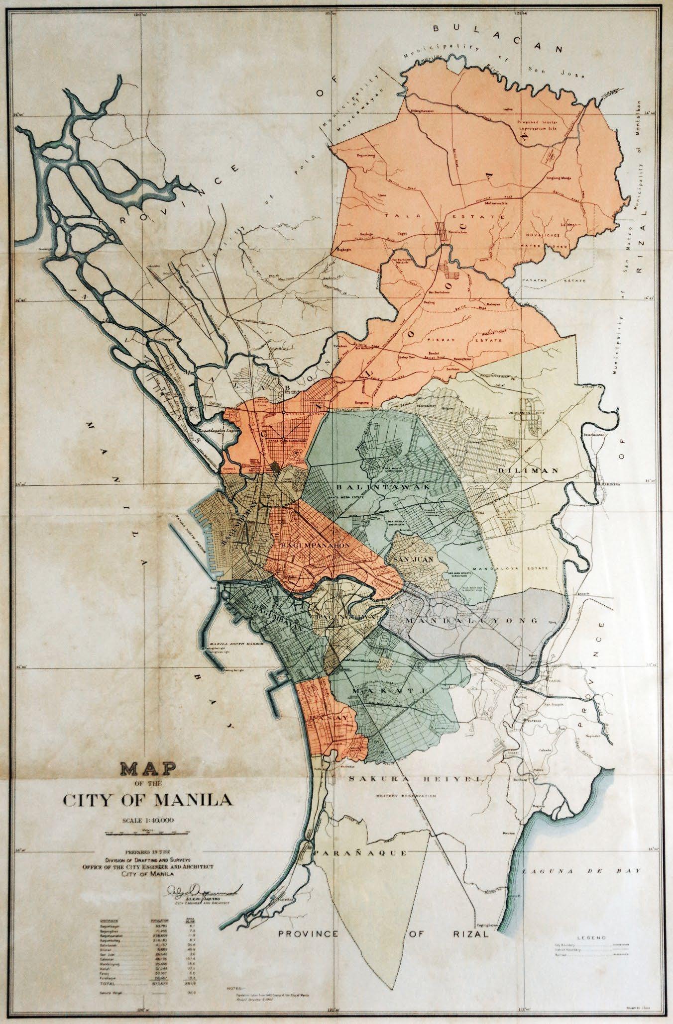
The barangay was also part of Mandaluyong when it was included in the 1940s consolidation under the City of Greater Manila. [2]