Located along the southwestern border of Marikina, with the Marikina–Infanta Highway and A. Bonifacio Avenue, which serve as thoroughfares connecting Quezon City and Marikina, and with the municipalities of San Mateo and Rodriguez (Montalban) in Rizal to the east, Barangka is considered to be a gateway for people going to and from Metro Manila and Rizal. It is bordered on the west by barangay Loyola Heights in Quezon City; to the south by barangays Industrial Valley and Calumpang; to the east by barangay Tañong; and to the north by Loyola Grand Villas.
Riverbanks Center at night
Etymology
Barangka takes its name from the Spanish word for "canyon", barranca, owing to the area's steep and hilly terrain.
History
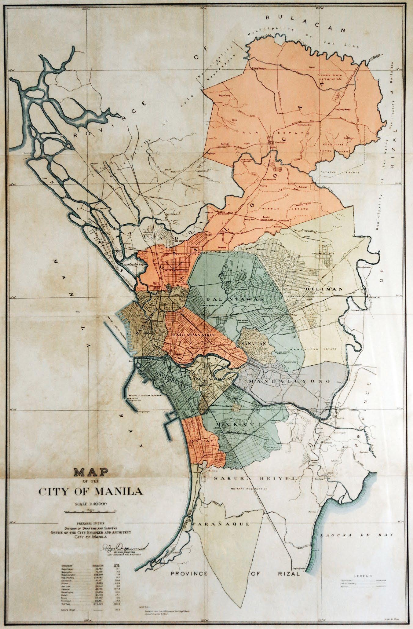
The area of Barangay Barangka is considered one of the earliest historical origins of Marikina when the Augustinians and Jesuits arrived in the area called chorrillo, a small stream located in the area (now called Chorillo or official name called General Julian Cruz Street, a known street located in this barangay). From 1939 to 1941, the sitio was under the jurisdiction of the then-newly established Quezon City before it was returned to Marikina.[2][3] According to a 1942 map, Barangka was part of the Diliman district of the City of Greater Manila, which included Quezon City throughout its existence from 1942 to 1945.[4]
Along with former Parang and Nangka, the former sitio was elevated to barangay by virtue of Republic Act No. 2601, which was enacted on June 21, 1959.[5]
Geography
Barangka lies on the foothills of Quezon City and also over the West Valley fault systems. It has a total land area of 116.96ha (1.17km2) with a population of 27,805, making it the mostly densely populated barangay in Marikina. The Marikina River where the Marikina River Park and Riverbanks Center is located borders the barangay to the south.
Miscellaneous
Largest pair of shoes displayed at Riverbanks MallRiverbanks Arcade BuildingPlaza Delos KapitanesBarangka Elementary School and Barangka National High SchoolRiverland Express inside Riverbanks CenterBarangay Hall, a community center
↑ Map of the City of Manila (Map). 1:40,000. Division of Drafting and Surveys, Office of the City Engineer and Architect, City of Manila. 1942. Retrieved October 14, 2024.
This page is based on this Wikipedia article Text is available under the CC BY-SA 4.0 license; additional terms may apply. Images, videos and audio are available under their respective licenses.


