Warrill View, Queensland

Last updated

Warrill View
Queensland
Cunningham Highway at Warrill View.jpg
Cunningham Highway at Warrill View, 2015
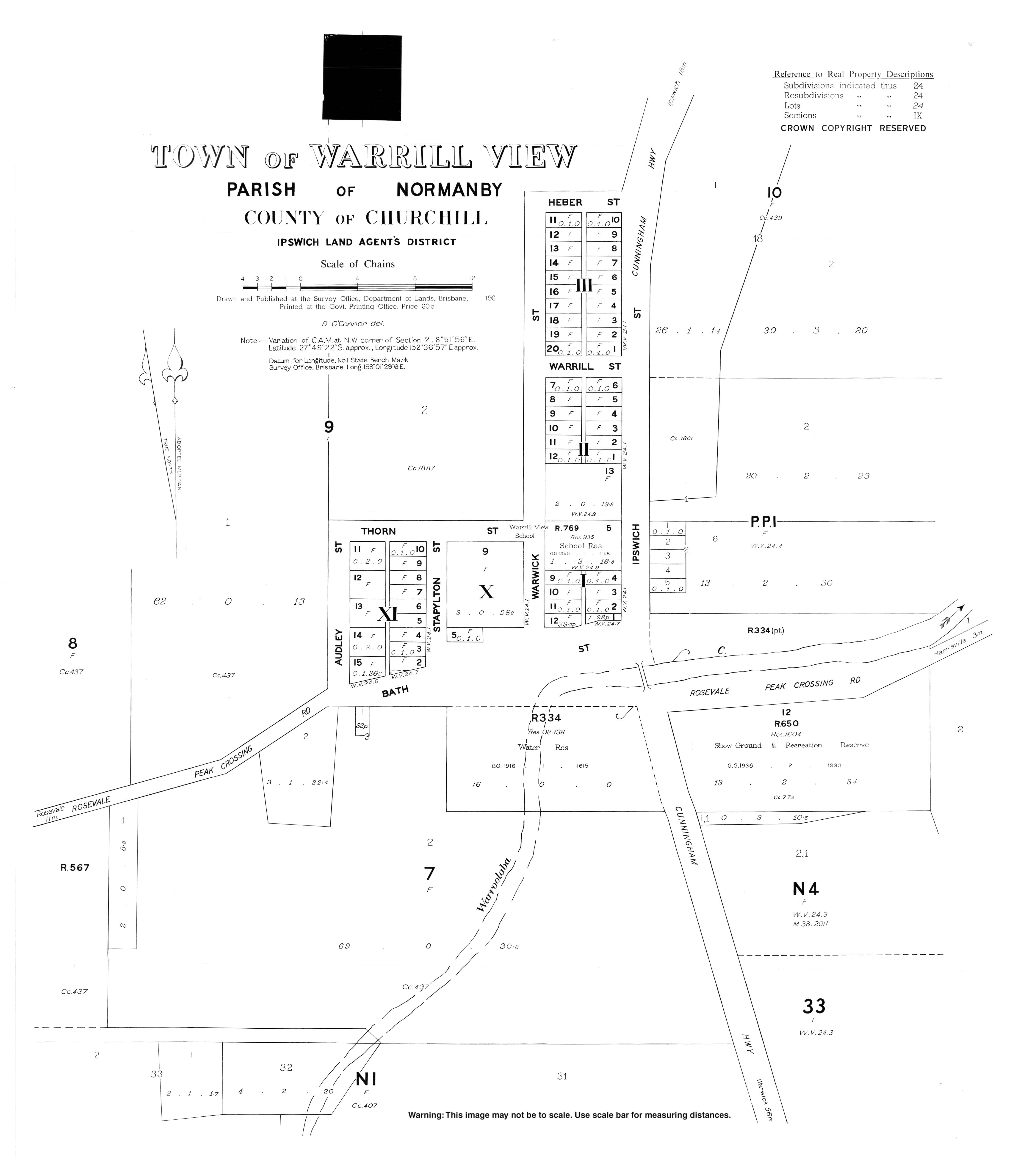
Australia Queensland location map.svg
Red pog.svg
Warrill View
Coordinates 27°49′21″S152°36′54″E / 27.8225°S 152.615°E / -27.8225; 152.615 (Warrill View (town centre))
Population203 (2021 census) [1]
 • Density6.114/km2 (15.84/sq mi)
Postcode(s) 4307
Elevation65 m (213 ft)
Area33.2 km2 (12.8 sq mi)
Time zone AEST (UTC+10:00)
Location
LGA(s) Scenic Rim Region
State electorate(s) Scenic Rim
Federal division(s) Wright
Localities around Warrill View:
Coleyville Coleyville Harrisville
Coleyville Warrill View Wilsons Plains
Rosevale Silverdale Radford

Warrill View is a rural town and locality in the Scenic Rim Region, Queensland, Australia. [2] [3] In the 2021 census, the locality of Warrill View had a population of 203 people. [1]

Contents

Geography

Warrill View is located in the Fassifern Valley farming area. The Cunningham Highway passes through Warrill View. Warrill Creek is a tributary of the Bremer River.

History

Botanist Allan Cunningham explored this area in 1829. From a knoll, he saw extensive plains which he named Laidley Plain after colonial administrator James Laidley who was the Deputy Commissary General in Sydney at that time. [4] [5]

The town was called Normanby from about 1859 to 1931. However, that caused confusion with another town called Normanby on the road from Ipswich to Harrisville, resulting in this town being renamed Warrill View, a name that was already in use for the school and post office. The name Warrill comes from the name of the local creek, whose name is allegedly an Aboriginal word meaning water or stream. [6]

Warrill View State School opened on 15 September 1910. [7]

Warrill View Baptist Church was established in 1951, having been relocated from Kulgun, where it was called Siloam Baptist Church. It was built from timber. It closed in 1975 and sold 1980. It was at 4725 Cunningham Highway ( 27°49′24″S152°36′59″E / 27.823405°S 152.6164°E / -27.823405; 152.6164 (Warrill View Baptist Church) ). [8] [9]

Demographics

In the 2011 census, the locality of Warrill View had a population of 321 people. [10]

In the 2016 census, the locality of Warrill View had a population of 240 people. [11]

In the 2021 census, the locality of Warrill View had a population of 203 people. [1]

Heritage listings

Warrill View has a number of heritage-listed sites, including:

Education

Warrill View State School is a government primary (Prep-6) school for boys and girls at 7-19 Ipswich Street ( 27°49′22″S152°36′58″E / 27.8229°S 152.6160°E / -27.8229; 152.6160 (Warrill View State School) ). [13] [14] In 2017, the school had an enrolment of 11 students with 6 teachers (2 full-time equivalent) and 5 non-teaching staff (3 full-time equivalent). [15] In 2022, the school had an enrolment of 22 students. [16]

There are no secondary schools in Warrill View. The nearest government secondary schools are Rosewood State High School in Rosewood to the north and Boonah State High School in Boonah to the south. [17]

Attractions

View towards the town as seen from Cunninghams Lookout, 2011 Fassifern Valley and Teviot Range.jpg
View towards the town as seen from Cunninghams Lookout, 2011

Cunninghams Lookout is on the knoll from which botanist Allan Cunningham named Laidley Plain ( 27°49′20″S152°35′00″E / 27.8223°S 152.5833°E / -27.8223; 152.5833 (Cunninghams Lookout) ). It provides panoramic views. It is off to the south of Rosewood Warrill View Road. [18]

Streets in Warrill View

Related Research Articles

<span class="mw-page-title-main">Aratula</span> Town in Queensland, Australia

Aratula is a rural town and locality in the Scenic Rim Region, Queensland, Australia. In the 2021 census, the locality of Aratula had a population of 609 people.

<span class="mw-page-title-main">Rosewood, Queensland</span> Town in Queensland, Australia

Rosewood is a rural town and locality in the City of Ipswich, Queensland, Australia. In the 2021 census, the locality of Rosewood had a population of 3,263 people.

<span class="mw-page-title-main">Grandchester, Queensland</span> Town in Queensland, Australia

Grandchester is a rural town and locality in the City of Ipswich, Queensland, Australia. In the 2021 census, the locality of Grandchester had a population of 467 people.

<span class="mw-page-title-main">Shire of Boonah</span> Local government area in Queensland, Australia

The Shire of Boonah was a local government area in South East Queensland, Australia, about 80 kilometres (50 mi) southwest of Brisbane. The shire covered an area of 1,921.6 square kilometres (741.9 sq mi), and existed from 1880 until its merger with parts of the Shire of Beaudesert and City of Ipswich to form the Scenic Rim Region on 15 March 2008.

The Shire of Moreton was a local government area in South East Queensland, Australia, located about 50 kilometres (31 mi) southwest of Queensland's capital, Brisbane. It represented an area surrounding but not including Ipswich, and existed from 1917 until 1995, when it merged into the City of Ipswich, City of Brisbane, and Shire of Esk.

<span class="mw-page-title-main">Purga, Queensland</span> Suburb of City of Ipswich, Queensland, Australia

Purga is a rural locality in the City of Ipswich, Queensland, Australia. In the 2021 census, Purga had a population of 561 people.

<span class="mw-page-title-main">Rosevale, Queensland</span> Town in Queensland, Australia

Rosevale is a rural locality in the Scenic Rim Region, Queensland, Australia. In the 2021 census, the locality of Rosevale had a population of 212 people.

<span class="mw-page-title-main">Mount Walker, Queensland</span> Suburb of Scenic Rim Region, Queensland, Australia

Mount Walker is a rural locality in the Scenic Rim Region, Queensland, Australia. In the 2021 census, Mount Walker had a population of 129 people.

<span class="mw-page-title-main">Harrisville, Queensland</span> Town in Queensland, Australia

Harrisville is a rural town and locality in the Scenic Rim Region, Queensland, Australia. In the 2021 census, the locality of Harrisville had a population of 667 people.

<span class="mw-page-title-main">Peak Crossing, Queensland</span> Suburb of City of Ipswich, Queensland, Australia

Peak Crossing is a rural locality split between the City of Ipswich and the Scenic Rim Region of Queensland, Australia. In the 2021 census, Peak Crossing had a population of 1,016 people.

<span class="mw-page-title-main">Munbilla, Queensland</span> Town in Queensland, Australia

Munbilla is a rural town and locality in the Scenic Rim Region, Queensland, Australia. In the 2021 census, the locality of Munbilla had a population of 93 people.

<span class="mw-page-title-main">Mutdapilly, Queensland</span> Suburb of City of Ipswich, Queensland, Australia

Mutdapilly is a rural locality in south-east Queensland, Australia. It is split between the local government areas of Scenic Rim Region and City of Ipswich. In the 2021 census, Mutdapilly had a population of 308 people.

<span class="mw-page-title-main">Lower Mount Walker, Queensland</span> Suburb of City of Ipswich, Queensland, Australia

Lower Mount Walker is a locality split between the Scenic Rim Region and City of Ipswich local government areas of South East Queensland, Australia. In the 2021 census, Lower Mount Walker had a population of 192 people.

<span class="mw-page-title-main">Silverdale, Queensland</span> Suburb of Scenic Rim Region, Queensland, Australia

Silverdale is a rural locality in the Scenic Rim Region, Queensland, Australia. In the 2021 census, Silverdale had a population of 112 people.

<span class="mw-page-title-main">Mount Mort, Queensland</span> Suburb of Ipswich, Queensland, Australia

Mount Mort is a rural locality in the City of Ipswich, Queensland, Australia. In the 2021 census, Mount Mort had a population of 78 people.

<span class="mw-page-title-main">Coulson, Queensland</span> Suburb of Scenic Rim Region, Queensland, Australia

Coulson is a rural locality in the Scenic Rim Region, Queensland, Australia. In the 2021 census, Coulson had a population of 168 people.

Laidley South is a rural locality in the Lockyer Valley Region, Queensland, Australia. In the 2021 census, Laidley South had a population of 293 people.

Kulgun is a locality in the Scenic Rim Region, Queensland, Australia. In the 2021 census, Kulgun had a population of 104 people.

<span class="mw-page-title-main">Moorang, Queensland</span> Suburb of Scenic Rim Region, Queensland, Australia

Moorang is a rural locality in the Scenic Rim Region, Queensland, Australia. In the 2021 census, Moorang had a population of 47 people.

Radford is a rural locality in the Scenic Rim Region, Queensland, Australia. In the 2021 census, Radford had a population of 31 people.

References

  1. 1 2 3 Australian Bureau of Statistics (28 June 2022). "Warrill View (SAL)". 2021 Census QuickStats. Retrieved 28 February 2023. OOjs UI icon edit-ltr-progressive.svg
  2. "Warrill View – town in Scenic Rim Region (entry 48197)". Queensland Place Names. Queensland Government . Retrieved 30 November 2019.
  3. "Warrill View – locality in Scenic Rim Region (entry 45204)". Queensland Place Names. Queensland Government . Retrieved 30 November 2019.
  4. "Cunningham's Crest Lookout". LuvYaLockyer. Archived from the original on 23 March 2023. Retrieved 21 July 2023.
  5. "Laidley – population centre in the Lockyer Valley Region (entry 18796)". Queensland Place Names. Queensland Government . Retrieved 21 July 2023.
  6. "Warrill View – watercourse in the City of Ipswicch (entry 36614)". Queensland Place Names. Queensland Government . Retrieved 20 January 2020.
  7. Queensland Family History Society (2010), Queensland schools past and present (Version 1.01 ed.), Queensland Family History Society, ISBN   978-1-921171-26-0
  8. Blake, Thom. "Warrill View Baptist Church". Queensland Religious Places. Retrieved 23 June 2023.
  9. Google (21 July 2023). "Warrill View, Queensland" (Map). Google Maps . Google. Retrieved 21 July 2023.
  10. Australian Bureau of Statistics (31 October 2012). "Warrill View (State Suburb)". 2011 Census QuickStats. Retrieved 12 July 2013. OOjs UI icon edit-ltr-progressive.svg
  11. Australian Bureau of Statistics (27 June 2017). "Warrill View (SSC)". 2016 Census QuickStats. Retrieved 20 October 2018. OOjs UI icon edit-ltr-progressive.svg
  12. "Normanby Homestead (entry 600737)". Queensland Heritage Register . Queensland Heritage Council. Retrieved 12 July 2013.
  13. "State and non-state school details". Queensland Government. 9 July 2018. Archived from the original on 21 November 2018. Retrieved 21 November 2018.
  14. "Warrill View State School". Warrill View State School. 14 December 2022. Archived from the original on 2 March 2023. Retrieved 21 July 2023.
  15. "ACARA School Profile 2017". Archived from the original on 22 November 2018. Retrieved 22 November 2018.
  16. "School annual report 2022" (PDF). Warrill View State School. p. 2. Archived (PDF) from the original on 21 July 2023. Retrieved 21 July 2023.
  17. "Queensland Globe". State of Queensland . Retrieved 21 July 2023.
  18. "Tourist points - Queensland". Queensland Open Data. Queensland Government. 18 November 2020. Archived from the original on 24 November 2020. Retrieved 24 November 2020.