Aratula is approximately 52 kilometres (30mi) by road southwest of Ipswich.[4] The Cunningham Highway enters the locality from the north-east (Fassifern), passes through the town, and exits to the south (Mount Edwards).[5]
Warrill Creek enters the locality from the west (Tarome), flows across the north of the locality (and north of the town), exiting to the east (Morwincha). It is a tributary of the Bremer River, then the Brisbane River, flowing into Moreton Bay.[5]
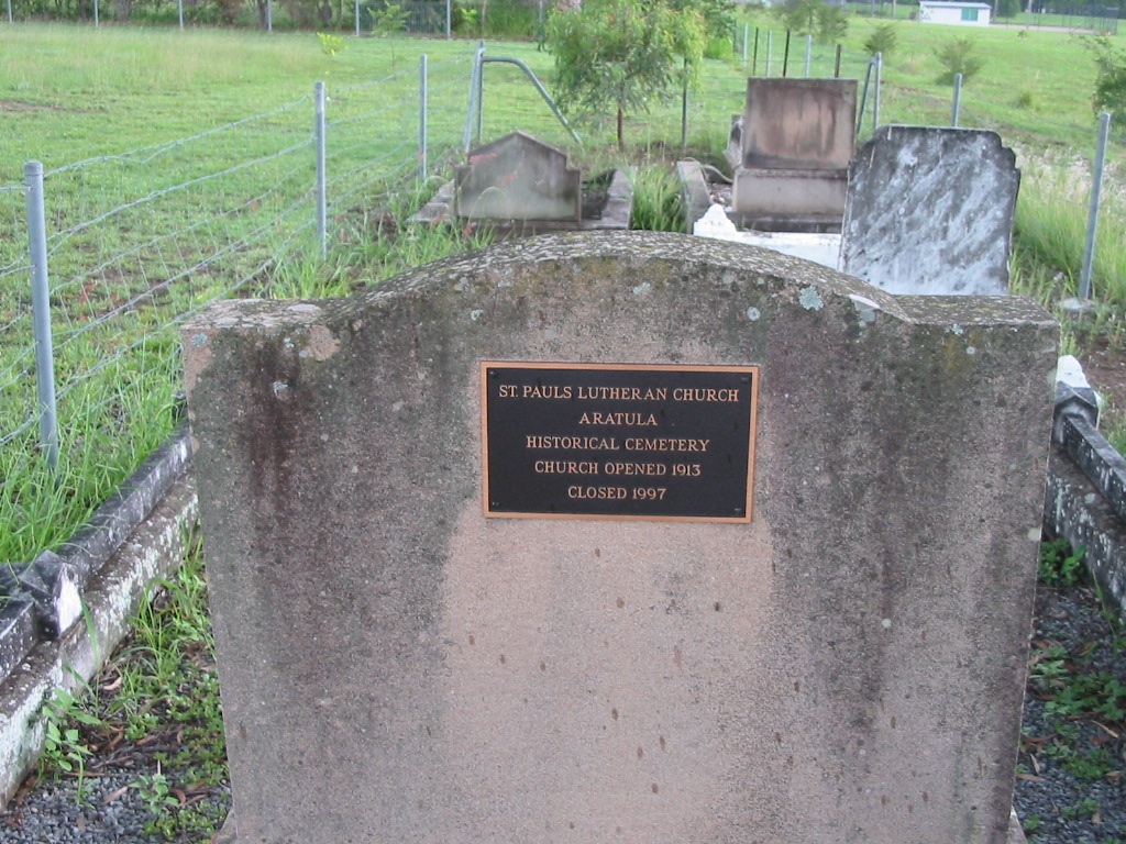
History
First Aratula State School, circa 1915, before it burned down in 1916
The area was originally known as Carter's Gate, but the name was changed to reflect the railway station name of Aratula.[2][6]
Carter's Gate Provisional School opened on 29 May 1911. It became a State School on 9 January 1913. The name was changed in August 1913 to Aratula State School.[7][8][9] The school burned on either 27 or 28 February 1916; the fire was regarded as suspicious as nearby Mount Fraser State School had burned down four months earlier.[10] The school celebrated its centenary in May 2011.[11]
St Stephen the Martyr Anglican Church was dedicated on Saturday 18 December 1954 by Archbishop of BrisbaneReginald Halse. The first celebration of holy communication was held on St Stephen's Day (Sunday 26 December).[27][28]
Demographics
In the 2011 census, the locality of Aratula had a population of 505 people.[29]
In the 2016 census, the locality of Aratula had a population of 532 people.[30] The locality contained 150 households, in which 50.5% of the population were males and 49.5% of the population were females with a median age of 42, 4 years above the national average. The average weekly household income was $1,187, $251 below the national average.[30]
In the 2021 census, the locality of Aratula had a population of 609 people.[1]
Heritage listings
Aratula has the following heritage sites:
St Stephen's Anglican Church, 25 Elizabeth Street[31]
Aratula is a common rest-stop for travellers coming eastward across the Great Dividing Range. There is a caravan park and a hotel just off the highway.
↑"Our school". Aratula State School. Archived from the original on 11 May 2014. Retrieved 12 May 2014.
↑"Aratula State School". Queensland Times. Vol.LVI, no.9480. Queensland, Australia. 2 March 1916. p.4 (DAILY.). Archived from the original on 6 June 2024. Retrieved 2 September 2022– via National Library of Australia.
↑"Our school". Aratula State School. 9 January 2020. Archived from the original on 2 September 2022. Retrieved 2 September 2022.
↑"Advertising". Queensland Times. Vol.LVI, no.8977. Queensland, Australia. 26 March 1914. p.1 (Daily). Retrieved 2 April 2025– via National Library of Australia.
↑"West Moreton News". Queensland Times. Vol.LXV, no.11, 551. Queensland, Australia. 3 November 1923. p.12 (DAILY). Archived from the original on 6 June 2024. Retrieved 2 September 2022– via National Library of Australia.
↑Blake, Thom. "Aratula Baptist Church". Queensland religious places database. Archived from the original on 2 September 2022. Retrieved 2 September 2022.
↑Phoenix Auctions History. "Post Office List". Phoenix Auctions. Archived from the original on 20 May 2022. Retrieved 14 February 2021.
↑"Goolman Council". Queensland Times. Vol.LXVI, no.12, 367. Queensland, Australia. 4 March 1926. p.3 (DAILY.). Archived from the original on 6 June 2024. Retrieved 2 September 2022– via National Library of Australia.
Pohlner, Howard J (1980), St. John's Lutheran Church Engelsburg-Kalbar centenary book, including history of Mutdapilly Reserve, Teviotville, Aratula, Milbong, Centenary Committee, St. Johns Lutheran Church, ISBN978-0-9598469-1-1
This page is based on this Wikipedia article Text is available under the CC BY-SA 4.0 license; additional terms may apply. Images, videos and audio are available under their respective licenses.


