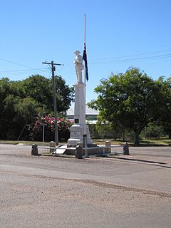
Longreach is a town and a locality in the Longreach Region, Queensland, Australia. In the 2016 census, Longreach had a population of 2,970 people. It is the administrative centre of the Longreach Regional Council, which was established in 2008 as a merger of the former Longreach, Ilfracombe, and Isisford shires.

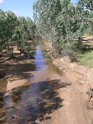
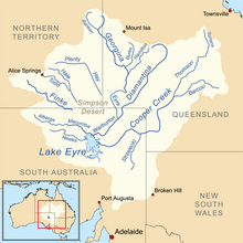
The Barcoo River in western Queensland, Australia rises on the northern slopes of the Warrego Range, flows in a south-westerly direction and unites with the Thomson River to form Cooper Creek. The first European to see the river was Thomas Mitchell in 1846, who named it Victoria River, believing it to be the same river as that named Victoria River by J. C. Wickham in 1839. It was renamed by Edmund Kennedy after a name supplied by local Aborigines.

Barcaldine is a rural town and locality in the Barcaldine Region in Queensland, Australia. In the 2016 census, Barcaldine had a population of 1,422 people. This is the administrative centre of the Barcaldine Region. Barcaldine played a major role in the Australian labour movement.

Aramac is a rural town and locality in the Barcaldine Region, Queensland, Australia. In the 2016 census, Aramac had a population of 299 people.

The Thomson River is a perennial river that forms part of the Lake Eyre Basin, situated in the central west and western regions of Queensland, Australia. Much of the course of the river comprises a series of narrow channels synonymous with the Channel Country and the Gailee subregion.

Muttaburra is a town and locality in the Barcaldine Region, Queensland, Australia. In the 2016 census, Muttaburra had a population of 88 people. The undeveloped town of Scarrbury is within the locality.

The Barcaldine Region is a local government area in Central West Queensland, Australia. Established in 2008, it was preceded by three previous local government areas which had existed for over a century.

The Longreach Region is a local government area in Central West Queensland, Australia. Established in 2008, it superseded three previous local government areas that had existed for more than a century.

Central West Queensland is a remote region in the Australian state of Queensland which covers 396 650.2 km². The region lies to the north of South West Queensland and south of the Gulf Country.

Bowen Downs Station is a pastoral lease that has operated both as a cattle station and a sheep station.

Bexley Station is a pastoral lease that operates as a sheep station in Queensland.

Cornish Creek is a locality in the Barcaldine Region, Queensland, Australia. In the 2016 census, Cornish Creek had a population of 16 people.
The Iningai (Yiningayi) were an indigenous Australian people of the present-day Longreach Region in the state of Queensland.

Tablederry is a locality in the Barcaldine Region, Queensland, Australia. In the 2016 census, Tablederry had a population of 32 people.

Bangall is a locality in the Barcaldine Region, Queensland, Australia. In the 2016 census, Bangall had a population of 4 people.

Pelican Creek is a locality in the Barcaldine Region, Queensland, Australia. In the 2016 census, Pelican Creek had a population of 20 people.

Sardine is a locality in the Barcaldine Region, Queensland, Australia. In the 2016 census, Sardine had a population of 5 people.

Barcaldine Downs is a rural locality in the Barcaldine Region, Queensland, Australia. In the 2016 census, Barcaldine Downs had a population of 14 people.

Moombria is a locality in the Barcaldine Region, Queensland, Australia. In the 2016 census, Moombria had a population of 0 people.

Tara Station is a locality in the Barcaldine Region, Queensland, Australia. In the 2016 census, Tara Station had a population of 10 people.


