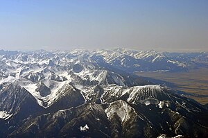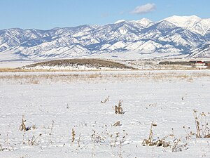
This is a list of mountain ranges in the state of Montana. Montana is the fourth largest state in the United States and is well known for its mountains. The name "Montana" is Spanish for "Mountain". Representative James Mitchell Ashley (R-Ohio), suggested the name when legislation organizing the territory was passed by the United States Congress in 1864. Ashley noted that a mining camp in the Colorado Territory had already used the name, and Congress agreed to use the name for the new territory. [1]
Contents
According to the United States Board on Geographic Names, there are at least 100 named mountain ranges and sub-ranges in Montana. However, mountain ranges have no official boundaries, and there is no official list of mountain ranges in the state. [2]


