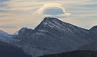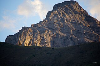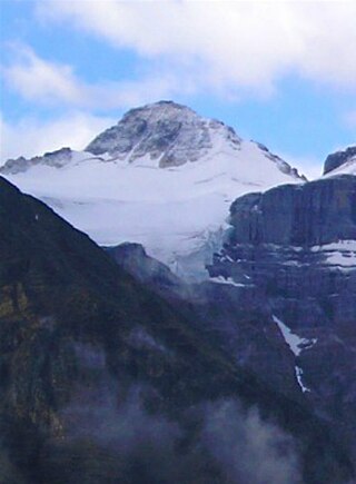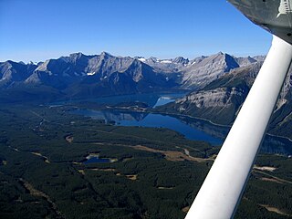
Mount Assiniboine, also known as Assiniboine Mountain, is a pyramidal peak mountain on the Great Divide, on the British Columbia/Alberta border in Canada.

Mount Columbia is a mountain located in the Winston Churchill Range of the Rocky Mountains. It is the highest point in Alberta, Canada, and is second only to Mount Robson for height and topographical prominence in the Canadian Rockies. It is located on the border between Alberta and British Columbia on the northern edge of the Columbia Icefield. Its highest point, however, lies within Jasper National Park in Alberta.

Mount Bishop is a mountain named in 1918 after W.A. "Billy" Bishop VC who was a Colonel and a Canadian fighter pilot awarded the Victoria Cross during World War I. It is located in the Elk Range of the Canadian Rockies and sits on the Continental Divide, which forms the British Columbia-Alberta border in this area.

Mount Muir is a mountain located on the Continental Divide on the Alberta-British Columbia border. The mountain was named in 1918 after Alexander Muir. It is located in the High Rock Range.
Mount Gorman is located on the border of Alberta and British Columbia. It was named in 1925 after A.O. Gorman, a government surveyor with the Dominion Land Survey.
Mount Côté is located on the border of Alberta and British Columbia. The mountain is named for Jean Côté, a Canadian politician.
Mount O'Beirne is a mountain in the Continental Ranges on the border of Alberta and British Columbia. It is Alberta's 59th most prominent mountain. It was named in 1918 by Arthur Oliver Wheeler after Eugene Francis O'Beirne, a "sponger and general pest" who in 1864 had attached himself to William Wentworth-FitzWilliam, Viscount Milton and Walter Butler Cheadle's expedition over the Yellowhead Pass.
Mount Queen Elizabeth is located on the border of Alberta and British Columbia, directly east of Mount King Albert. It was named in 1916 by interprovincial boundary surveyors after Queen Elisabeth of Belgium. Note that Elisabeth is the correct spelling of her name.

Mount Little is situated at the northern end of Kootenay National Park, and straddles the Continental Divide marking the Alberta-British Columbia border. It was named in 1916 after George F. Little, a member of the first ascent party.

Mount Cautley is located on the border of Alberta and British Columbia on the Continental Divide, SE of Assiniboine Pass. Richard W. Cautley was a surveyor from Ipswich, England. As part of the Alberta/British Columbia Boundary Commission, his party was in charge of mapping precise boundaries in the usable mountain passes of the Canadian Rockies.
Mount King Albert is located on the border of Alberta and British Columbia on the Continental Divide at the North end of Height of the Rockies Provincial Park. It was named in 1918 after King Albert.

Mount Beatty is a mountain located on the border of Alberta and British Columbia on the Continental Divide. It was named in 1924 after David Beatty, a British naval officer of Irish ancestry who commanded ships in the First World War.

Mount Northover is located on the border of Alberta and British Columbia on the Continental Divide. The nearest higher peak is Mount Lyautey, 2.0 km (1.2 mi) to the north-northeast. It was named in 1917 after Lieutenant A.W. Northover, M.C., one of western Canada's first war heroes. Northover had recently migrated there from the United Kingdom and started a new family there.
A mountain formerly known as Mount Pétain, but with no current official name, is located on the border of the Canadian provinces of Alberta and British Columbia (BC) on the Continental Divide.

Mount Mangin is located on the border of Alberta and British Columbia on the Continental Divide. It was named in 1918 after French general Charles Mangin.
Mount Bolton is located on the border of Alberta and British Columbia on the Continental Divide, northeast of Elkford, Kootenay Land District. It was named after Bolton, Lambert Ernest Stanley DLS. Bolton was serving with the Canadian Pioneers, 1st Battilion when he was killed in action on June 13, 1916.
Mount Etherington is located on the border of Alberta and British Columbia on the Continental Divide. It was named in 1918 after Colonel Frederick Etherington C.M.G.
Mount Lyall is located on the border of Alberta and British Columbia on the Continental Divide. It was named in 1917 after the Scottish botanist David Lyall (1817–1895).
Mount Darrah is located on the border of Alberta and British Columbia on the Continental Divide. It was named in 1916 after Captain Darrah.

Mount Haig is located on the border of Alberta and British Columbia on the Continental Divide. It was named in 1862 after Haig, Captain R.W. Mount Haig is the highest peak of Gravenstafel Ridge; its lower north and east faces feature as back country cat skiing for Castle Mountain Resort on neighbouring Gravenstafel Mountain.


