

The following outline is provided as an overview of and topical guide to Newfoundland and Labrador.
Contents
- General reference
- Geography
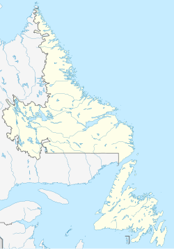
- Location
- Environment
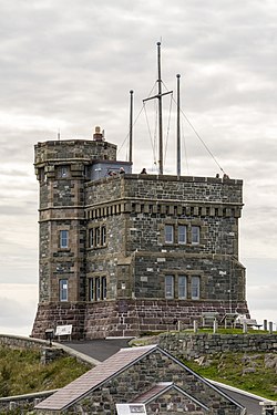
- Heritage sites
- Regions
- Demography
- Government and politics
- Government branches
- Regional relations
- International relations
- Law and order
- Military
- Local government
- History
- History, by period
- History, by region
- History, by subject
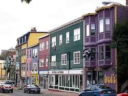
- Culture
- Art
- Religion
- Sports
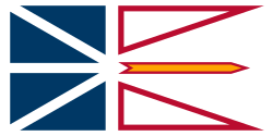
- Symbols
- Economy and infrastructure
- Transport
- Education
- See also
- Categories
- Largest cities
- References
- External links
Newfoundland and Labrador – the most easterly province of Canada. It comprises the island of Newfoundland, mainland Labrador, and over 7,000 small islands. It is Canada's ninth-most populous province or territory and tenth-largest in total area. A former colony and dominion of the United Kingdom, Newfoundland gave up its independence in 1933 and became the tenth province to enter the Canadian Confederation in 1949. Its name was officially changed to Newfoundland and Labrador in 2001.