
Sayreville is a borough in Middlesex County, in the U.S. state of New Jersey. Sayreville is within the heart of the Raritan Valley region, located on the south banks of the Raritan River, and also located on the Raritan Bay. As of the 2020 United States census, the borough's population was 45,345, an increase of 2,641 (+6.2%) from the 2010 census count of 42,704, which in turn reflected an increase of 2,327 (+5.8%) from the 40,377 counted in the 2000 census.
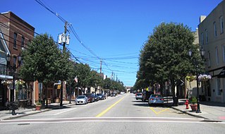
South Amboy is a suburban city in Middlesex County, in the U.S. state of New Jersey, located on Raritan Bay. As of the 2020 United States census, the city's population was 9,411, an increase of 780 (+9.0%) from the 2010 census count of 8,631, which in turn reflected an increase of 718 (+9.1%) from the 7,913 counted in the 2000 census.
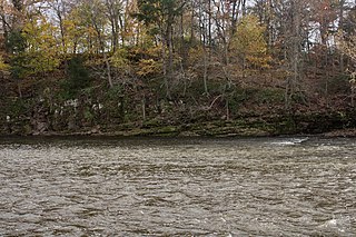
The Raritan River is the longest and largest river of the U.S. state of New Jersey. Its watershed drains much of the mountainous areas of the central and northern region's of the state, emptying into the Raritan Bay near Staten Island on the Atlantic Ocean.

The Raritan River Rail Road was a 12-mile (19 km) shortline railroad in Middlesex County, New Jersey U.S., Founded in 1888, it was based in South Amboy, from which it ran west as far as New Brunswick. It served both passengers and freight in its heyday and operated profitably throughout much of its existence. The Raritan River was absorbed into Conrail in 1980, becoming a branch line of Conrail Shared Assets Operations. It terminates at U.S. Route 1 in North Brunswick.

Keasbey is a census-designated place (CDP) and unincorporated community in Woodbridge Township, Middlesex County, New Jersey, United States. It is located in the western outskirts of adjacent Perth Amboy. As of the 2020 census, the CDP's population was 3,027. Many Hispanic / Latino families have relocated from Perth Amboy to Keasbey.
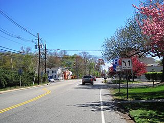
Deans is an unincorporated community and census-designated place (CDP) in South Brunswick Township, Middlesex County, New Jersey, in the United States. As of the 2020 United States census, Deans had a population of 1,615.
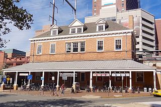
New Brunswick is an active commuter railroad train station in the city of New Brunswick, Middlesex County, New Jersey, United States. The station services trains of New Jersey Transit's Northeast Corridor Line and Amtrak's Keystone Service and Northeast Regional. For New Jersey Transit trains, the next station to the southwest is Jersey Avenue, while the next station to the northeast is Edison. For Amtrak services, the next station southwest is Princeton Junction, the next station to the northeast is Metropark. The station consists of two handicap-accessible side platforms surrounding the four tracks.

Netherwood is a New Jersey Transit railroad station on the Raritan Valley Line, in Plainfield, Union County, New Jersey, United States. It is located along North Avenue at the intersection of Netherwood Avenue and along South Avenue at the intersection of Belvedere Avenue. The station has a ticket vending machine, and the station house itself is located off of South Avenue.

Plainfield is a NJ Transit railroad station on the Raritan Valley Line, in Plainfield, Union County, New Jersey, United States. One of two train stations in Plainfield, this station serves the central part of the city. The ticket office and waiting area are in the south side station house. It was the westernmost station on the line with ADA accessibility, until Somerville's new high-level platforms were opened on December 7, 2010.
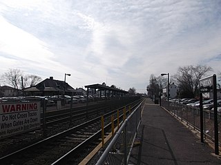
Raritan is an NJ Transit railroad station on the Raritan Valley Line, in Raritan, Somerset County, New Jersey, United States, north of the town center on Thompson Street. The station building is south of the tracks in the main parking lot and was built in the early 1890s. There are also three other small lots for this station.
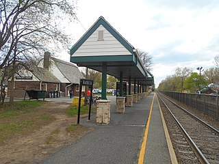
Radburn is a New Jersey Transit train station in the Dutch Colonial Revival style, served by the Bergen County Line. It is on Fair Lawn Avenue in the Radburn section of Fair Lawn, in Bergen County, New Jersey, United States. It is one of two New Jersey Transit train stations in Fair Lawn, the other being Broadway.
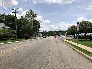
Bonhamtown is a section of Edison Township in Middlesex County, New Jersey, United States.
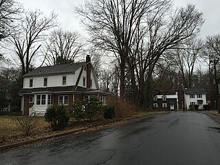
Wilburtha is a section of Ewing Township in Mercer County, in the U.S. state of New Jersey. Located where Wilburtha Road crosses the Delaware and Raritan Canal, it is one of the oldest settlements in Ewing Township and developed due to the construction of the canal in the early 19th century. The community was known as Greensburg before adopting its current name in 1883. The Yardley–Wilburtha Bridge once connected Wilburtha to Yardley, Pennsylvania on the other side of the Delaware River. The Belvidere Delaware Railroad once passed through the village. Today, Wilburtha is primarily a residential neighborhood consisting of detached, single-family homes, the majority of which were built in the 1950s through the early 1980s. There are still many Georgian and Federal-style homes found in the area.
Morgan is a neighborhood in Sayreville in Middlesex County, in the U.S. state of New Jersey, named for Charles Morgan III who purchased the land on May 7, 1710.
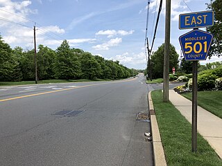
New Durham was an unincorporated community and now a neighborhood located within Edison in Middlesex County, New Jersey, United States, south of Dismal Swamp.
The Runyon Watershed is a reservoir system located in Old Bridge Township, New Jersey, United States, just south of Sayreville. It is operated by the Middlesex Water Company. The 1,100 acres (450 ha) watershed area was first established in the late 1800 when it was purchased by the city of Perth Amboy, which developed a reservoir and waterworks in the 1920s, and turned over management to the company in 2003. The area is protected, with more than 500 acres of the tract are wetlands that are from development by the state's 1990 Watershed Moratorium Act A weather station in Runyon recorded a high temperature of 110 °F (43 °C) on July 10, 1936, setting the record for the hottest temperature ever recorded in New Jersey.
Morgan Draw is railroad moveable bridge over the Cheesequake Creek between the Morgan section of Sayreville and Laurence Harbor in Old Bridge in Middlesex County, New Jersey, United States. Located at MP 0.2 near the mouth on the Raritan Bay, the bascule bridge lies just upstream of the New Jersey Route 35 crossing. It is owned and operated by New Jersey Transit Rail Operations (NJT) and substantially rehabilitated in 2005-2008. A storm surge during Hurricane Sandy in 2012 caused severe damage to the bridge.


