Mount Palmer is a mountain located in the Athabasca River Valley of Jasper National Park in Alberta, Canada.
Pika Peak is a mountain located between Mount Richardson and Ptarmigan Peak in Banff National Park, Alberta, Canada The mountain was named in 1928 after the pika, the small "rock rabbit" that inhabits alpine regions.

The Slate Range is a mountain range of the Canadian Rockies, located in Banff National Park, Canada. The range is named after slate, the primary composition of the mountains in the area.

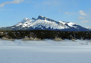
Mount Brazeau is a mountain in Alberta, Canada.

Mount Joffre is a mountain located on the Continental Divide, in Peter Lougheed Provincial Park, Alberta, and Elk Lakes and Height of the Rockies Provincial Parks in British Columbia. The mountain was named in 1918 by the Interprovincial Boundary Survey after Marshal Joseph Joffre, commander-in-chief of the French Army during World War I.
The President Range is a mountain range of the Canadian Rockies, located in the northwestern section of Yoho National Park. The range is named for the highest peak in the range, The President.

The Beaverfoot Range is a mountain range of the Canadian Rockies, located in southeastern British Columbia. The range extends from Cedared Creek near Spillimacheen north to the Kicking Horse River.

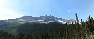
The Miette Range is a mountain range of the Canadian Rockies located south of Highway 16 near the east border of Jasper National Park, Alberta, Canada.

The Jacques Range is a mountain range in the Front Ranges of the Canadian Rockies, located south of Highway 16 and Jasper Lake in Jasper National Park, Alberta, Canada.
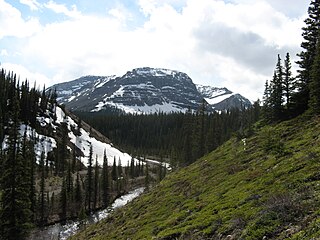
The Ram Range is a mountain range of the Canadian Rockies located in David Thompson Country, Canada. The range extends southeast from Abraham Lake to the Ram River. It is bounded on the southwest by Whiterabbit Creek.
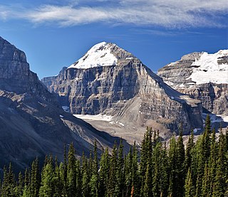
Mount Lefroy is a mountain on the Continental Divide, at the border of Alberta and British Columbia in western Canada. The mountain is located on the eastern side of Abbot Pass which separates Lake Louise in Banff National Park from Lake O'Hara in Yoho National Park. Mount Victoria lies immediately on the western side of the pass.

The South Jasper Ranges are mountain ranges of the Rocky Mountains in Alberta and British Columbia, Canada.

Elbow Pass is the mountain pass between the Highwood and Elbow areas in Kananaskis Country, Alberta, Canada. It contains Elbow Lake which is the headwaters of the Elbow River.

Mount Victoria, 3,464 metres (11,365 ft), is a mountain on the border between British Columbia and Alberta in the Canadian Rockies. It is located just northeast of Lake O'Hara in Yoho National Park and is also part of Banff National Park and is on the Continental Divide. The mountain has two peaks, the south being the highest while the north peak is slightly lower at 3,388 metres (11,115 ft).
The Nikanassin Range is a group of mountain ranges in the Canadian Rockies on the eastern edge of Jasper National Park in Alberta, Canada. It is developed south-east of the Fiddle Range, and one of the front ranges. Nikanassin means "first range" in Cree.
Consort Mountain is on the north side of an unnamed creek that drains eastward into the Snaring River. The origin of the name is unknown. It is located in the Victoria Cross Ranges in Alberta.

Jach'a Waracha is a mountain in the Apolobamba mountain range in Bolivia, at 5,540 metres (18,176 ft) high. It is situated in the La Paz Department, Franz Tamayo Province, Pelechuco Municipality. Jach'a Waracha lies west of the mountain Waracha and north-west of the mountain Qala Phusa.
Mount Ulysses, is the highest mountain in the Muskwa Ranges of the Northern Canadian Rockies in British Columbia. It and neighbouring peaks are part of a group of names drawing on the epic poem The Odyssey, in which here Ulysses wanders for 10 years before being able to return home to Ithaca.

Haddo Peak is a summit in Alberta, Canada. Haddo Peak is located in the Lake Louise area of Banff National Park.
Ambition Mountain is a mountain in British Columbia, Canada, located 17 km (11 mi) east of the Stikine River and 26 km (16 mi) northwest of Scud Peak. The mountain was originally named Mount Ambition on a 1935 Canadian Geological Survey map but was changed to Ambition Mountain on 6 May 1954, as it was the long-standing local name used by riverboat navigators and prospectors.

