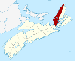
Inverness County is an historical county and census division of Nova Scotia, Canada. Local government is provided by the Municipality of the County of Inverness, the town of Port Hawkesbury and the Whycocomagh 2 Waycobah First Nation reserve.
Appleton is a town in the northeastern part of Newfoundland in the province of Newfoundland and Labrador, Canada.
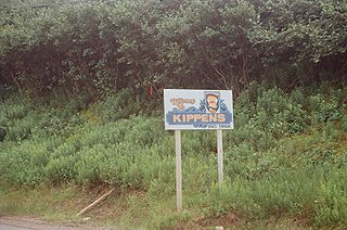
Kippens is a town located in the province of Newfoundland and Labrador, Canada on the west coast of the island of Newfoundland.
Chapel Arm is a settlement in Newfoundland, Canada, located at the southeast corner of Trinity Bay, approximately 100 km (62 mi) west of St. John's and two km from the Trans-Canada Highway.
Cape Ray is a local service district and designated place in the Canadian province of Newfoundland and Labrador. It is on the southwest coast of the island of Newfoundland.

St. George's is a Canadian community in the St. George's Bay on the southwest coast of Newfoundland of the province of Newfoundland and Labrador.

Stephenville Crossing is a town in the Canadian province of Newfoundland and Labrador. It is on the island of Newfoundland at the easternmost limit of Bay St. George.
Tompkins is a local service district and designated place in the Canadian province of Newfoundland and Labrador. It is in the Codroy Valley north of Channel-Port aux Basques.
Barachois Brook is a local service district and designated place in the Canadian province of Newfoundland and Labrador. It is on the western coast of the province, on Bay St. George, located just 5 km south of Stephenville Crossing.
St. Bride's is a small town on the Cape Shore of Newfoundland, Canada. Located 166 km Southwest of the capital of Newfoundland and Labrador, St. John's, St. Bride's is a fishing community with a population of approximately 318 persons as of 2021. The largest codfish ever caught, weighing in at 125 lbs, was landed here in 1905.
Admirals Beach is a rural community located in Newfoundland and Labrador, Canada.
Sheaves Cove is a local service district and designated place in the Canadian province of Newfoundland and Labrador. It is on the Port au Port Peninsula along the shore of St. George's Bay. There is a small tourist alcove just off the highway where views of the waterfalls and the ocean are visited often.
Ship Cove-Lower Cove-Jerry's Nose is a local service district and designated place in the Canadian province of Newfoundland and Labrador.
Hughes Brook is a town in the Canadian province of Newfoundland and Labrador. The town had a population of 236 in the Canada 2021 Census. It is located to the northeast of Corner Brook, in the western Bay of Islands area.
Port Anson is a town on Sunday Cove Island in the Canadian province of Newfoundland and Labrador. The town had a population of 42 in 2021, down from 155 in the Canada 2006 Census.
Port au Port East is a town in the Canadian province of Newfoundland and Labrador. The town had a population of 413 in the Canada 2021 Census. The town consists of the unincorporated communities of Port au Port and Romaines.
Port Rexton is a small town in the Canadian province of Newfoundland and Labrador. It is located on the East Coast of the island of Newfoundland at the north end of Robinhood Bay, about 10 minutes east of Trinity and 3 hours north of St. John's. The town had a population of 690 in 1940, 449 in 1951, 454 in 1956, 351 in the Canada 2006 Census, 338 in the Canada 2011 Census and most recently 340 in the Canada 2016 Census. The town is part of a group of communities known as the Trinity Bight. The town is home to a few small businesses, including inns and restaurants as well as the Skerwink trail which connects Port Rexton to Trinity Harbour.
Mainland is a local service district and designated place in the Canadian province of Newfoundland and Labrador. It is on the western shore of the Port au Port Peninsula approximately 50 kilometres (31 mi) from the Stephenville International Airport. Mainland is a coastal community, bordered by both the ocean and forest. The main industry in the community has traditionally been fishing, but currently (2016) a large portion of the inhabitants leave the community seasonally to earn income.
Black Duck is a local service district and designated place in the Canadian province of Newfoundland and Labrador that is 15 km (9 mi) east of the town of Stephenville. It is characterized by Harry's River, which runs past the community and is an Atlantic salmon fishing river.
Bay St. George South is a local service district and designated place in the Canadian province of Newfoundland and Labrador on the south coast of Bay St. George, a large bay on the west coast of the island of Newfoundland. Bay St. George South consists nine communities, namely Heatherton, Robinsons, Cartyville, McKay's, Jeffrey's, St. David's, St. Fintan's, Lock Leven en Highlands.
