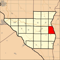
Lawndale Township is located in McLean County, Illinois, east of Lexington, northwest of Colfax, and southeast of Chenoa. As of the 2010 census, its population was 158 and it contained 74 housing units. Lawndale Cemetery is located on 2550 North Road. At least part of the township is within the area of the proposed Lexington Chenoa Wind Farm to be developed by Horizon Wind Energy.

Cooper Township is located in Sangamon County, Illinois. As of the 2010 census, its population was 893 and it contained 345 housing units.

Gardner Township is located in Sangamon County, Illinois. As of the 2010 census, its population was 4,245 and it contained 1,732 housing units. The township contains the unincorporated communities of Bradfordton and Salisbury.

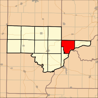
Cedar Township is one of twenty-one townships in Knox County, Illinois, USA. As of the 2010 census, its population was 3,270 and it contained 1,487 housing units. Its name was changed from Cherry Grove Township on June 8, 1853.
Maquon Township is one of twenty-one townships in Knox County, Illinois, USA. As of the 2010 census, its population was 556 and it contained 269 housing units.
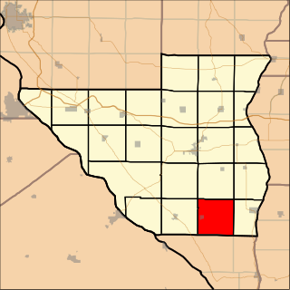
Orange Township is one of twenty-one townships in Knox County, Illinois, USA. As of the 2010 census, its population was 556 and it contained 246 housing units.

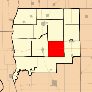
Persifer Township is one of twenty-one townships in Knox County, Illinois, USA. As of the 2010 census, its population was 980 and it contained 835 housing units.
Browning Township is located in Schuyler County, Illinois. As of the 2010 census, its population was 399 and it contained 226 housing units.

Chambersburg Township is located in Pike County, Illinois. As of the 2010 census, its population was 200 and it contained 89 housing units.

Flint Township is located in Pike County, Illinois. As of the 2010 census, its population was 96 and it contained 47 housing units.

Martinsburg Township is located in Pike County, Illinois. As of the 2010 census, its population was 419 and it contained 186 housing units.

Pearl Township is located in Pike County, Illinois. As of the 2010 census, its population was 282 and it contained 193 housing units.

Pittsfield Township is located in Pike County, Illinois. As of the 2010 census, its population was 4,477 and it contained 1,982 housing units.

Pleasant Hill Township is located in Pike County, Illinois. As of the 2010 census, its population was 1,259 and it contained 631 housing units.
Spring Creek Township is located in Pike County, Illinois. As of the 2010 census, its population was 591 and it contained 295 housing units.

Roseville Township is located in Warren County, Illinois, United States. As of the 2010 census, its population was 1,213 and it contained 578 housing units.

Athensville Township is one of thirteen townships in Greene County, Illinois, USA. As of the 2010 census, its population was 343 and it contained 159 housing units.
Linder Township is one of thirteen townships in Greene County, Illinois, USA. As of the 2010 census, its population was 345 and it contained 135 housing units.

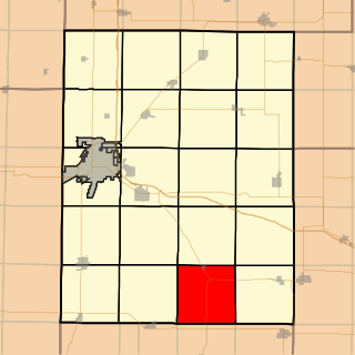
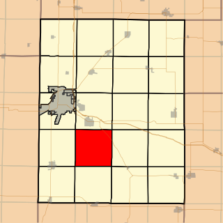
Arcola Township is one of nine townships in Douglas County, Illinois, USA. As of the 2010 census, its population was 3,312 and it contained 1,285 housing units.

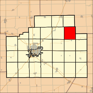
Felix Township is one of seventeen townships in Grundy County, Illinois, USA. As of the 2010 census, its population was 4,427 and it contained 1,919 housing units.