
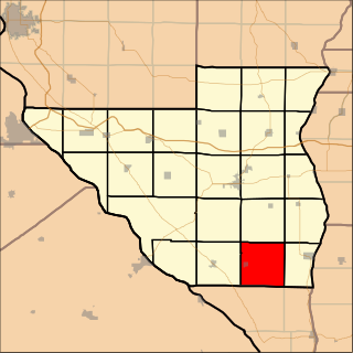
Canteen Township is located in St. Clair County, Illinois. As of the 2010 census, its population was 10,263 and it contained 4,027 housing units. Canteen Township was formed from Centreville Station Township when it was subdivided on March 5, 1910.
Lawndale Township is located in McLean County, Illinois, east of Lexington, northwest of Colfax, and southeast of Chenoa. As of the 2010 census, its population was 158 and it contained 74 housing units. Lawndale Cemetery is located on 2550 North Road. At least part of the township is within the area of the proposed Lexington Chenoa Wind Farm to be developed by Horizon Wind Energy.

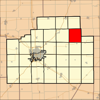
Perryton Township is located in Mercer County, Illinois. As of the 2010 census, its population was 474 and it contained 200 housing units.

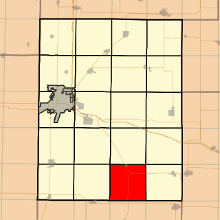
Richland Grove Township is located in Mercer County, Illinois. As of the 2010 census, its population was 2,300 and it contained 965 housing units.

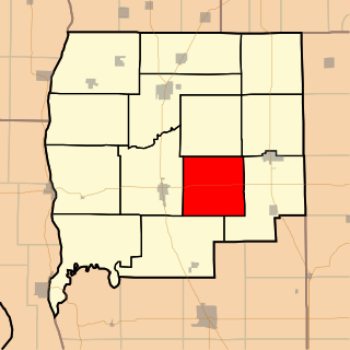
Cedar Township is one of twenty-one townships in Knox County, Illinois, USA. As of the 2010 census, its population was 3,270 and it contained 1,487 housing units. Its name was changed from Cherry Grove Township on June 8, 1853.
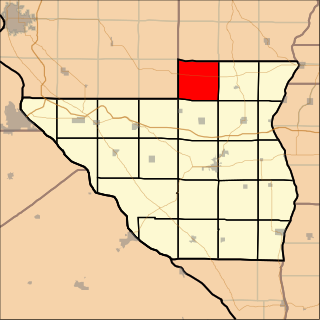
Maquon Township is one of twenty-one townships in Knox County, Illinois, USA. As of the 2010 census, its population was 556 and it contained 269 housing units.

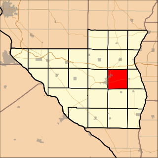
Persifer Township is one of twenty-one townships in Knox County, Illinois, USA. As of the 2010 census, its population was 980 and it contained 835 housing units.

Blandinsville Township is located in McDonough County, Illinois. As of the 2010 census, its population was 846 and it contained 445 housing units.

Detroit Township is located in Pike County, Illinois. As of the 2010 census, its population was 312 and it contained 163 housing units.
Fairmount Township is located in Pike County, Illinois. As of the 2010 census, its population was 188 and it contained 109 housing units.

Flint Township is located in Pike County, Illinois. As of the 2010 census, its population was 96 and it contained 47 housing units.

Hardin Township is located in Pike County, Illinois. As of the 2010 census, its population was 212 and it contained 105 housing units.
Newburg Township is located in Pike County, Illinois. As of the 2010 census, its population was 949 and it contained 428 housing units.

Perry Township is located in Pike County, Illinois. As of the 2010 census, its population was 594 and it contained 310 housing units.

Pleasant Hill Township is located in Pike County, Illinois. As of the 2010 census, its population was 1,259 and it contained 631 housing units.
Spring Creek Township is located in Pike County, Illinois. As of the 2010 census, its population was 591 and it contained 295 housing units.

Roseville Township is located in Warren County, Illinois, United States. As of the 2010 census, its population was 1,213 and it contained 578 housing units.

Woodland Township is one of twenty-six townships in Fulton County, Illinois, USA. As of the 2010 census, its population was 415 and it contained 195 housing units.
Linder Township is one of thirteen townships in Greene County, Illinois, USA. As of the 2010 census, its population was 345 and it contained 135 housing units.

Woodville Township is one of thirteen townships in Greene County, Illinois, USA. As of the 2010 census, its population was 239 and it contained 128 housing units.


