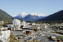
 1 - Sitka, Alaska
 2 - Juneau, Alaska
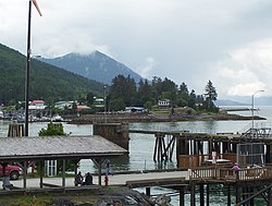 3 - Wrangell, Alaska
 6 - Tribune, Kansas

 8 - Butte, Montana
 9 - Houston, Texas
 11 - Phoenix, Arizona
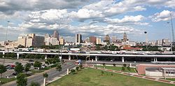 12 - San Antonio, Texas
 13 - Nashville, Tennessee
 15 - Statenville, Georgia
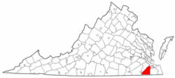 16 - Suffolk, Virginia
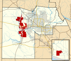 17 - Buckeye, Arizona
 19 - Fort Worth, Texas
 20 - Dallas, Texas
 21 - Chesapeake, Virginia
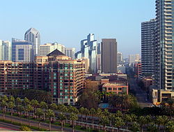
 22 - Austin, Texas
 24 - Louisville, Kentucky
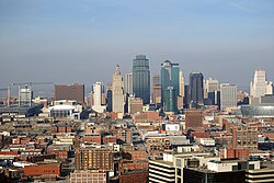
| Population tables of U.S. cities |
|---|
 |
| Cities |
| Population |
| Urban areas |
| Populous cities and metropolitan areas |
| Metropolitan areas |
| Megaregions |
|
This list ranks the top 150 U.S. cities (incorporated places) by 2025 land area. Total areas including water are also given, but when ranked by total area, a number of coastal cities appear disproportionately larger. San Francisco is an extreme example: water makes up nearly 80% of its total area of 232 square miles (601 km2).
Contents
In many cases an incorporated place is geographically large because its municipal government has merged with the government of the surrounding county. In some cases the county no longer exists, while in others the arrangement has formed a consolidated city-county (or city-borough in Alaska, or city-parish in Louisiana); these are shown in bold. Some consolidated city-counties, however, include multiple incorporated places. In such cases, this list presents only that portion (or “balance”) of such consolidated city-counties that are not a part of another incorporated place; these are indicated with asterisks (*). Cities that are not consolidated with or part of any county are independent cities, indicated with two asterisks (**).


