This is a list of the National Register of Historic Places listings in Fairfax County, Virginia.

This is a list of the National Register of Historic Places listings in Chesterfield County, Virginia.
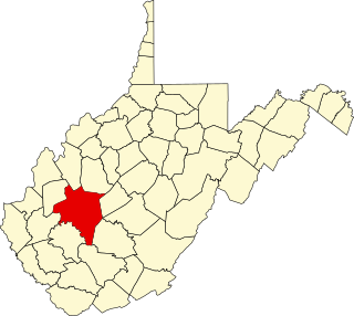
This is a list of the National Register of Historic Places listings in Kanawha County, West Virginia.

This is a list of the National Register of Historic Places listings in Big Horn County, Wyoming.
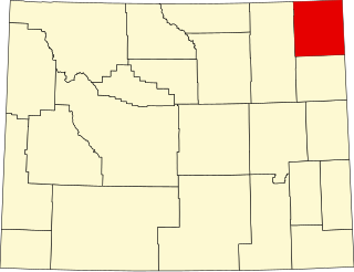
This is a list of the National Register of Historic Places listings in Crook County, Wyoming.

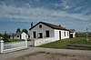
This is a list of the National Register of Historic Places listings in Johnson County, Wyoming. It is intended to be a complete list of the properties and districts on the National Register of Historic Places in Johnson County, Wyoming, United States. The locations of National Register properties and districts for which the latitude and longitude coordinates are included below, may be seen in an online map.

This is a list of the National Register of Historic Places listings in Park County, Wyoming.

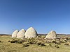
This is a list of the National Register of Historic Places listings in Washakie County, Wyoming. It is intended to be a complete list of the properties and districts on the National Register of Historic Places in Washakie County, Wyoming, United States. The locations of National Register properties and districts for which the latitude and longitude coordinates are included below, may be seen in a map.

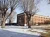
This is a list of the National Register of Historic Places listings in Weston County, Wyoming. It is intended to be a complete list of the properties and districts on the National Register of Historic Places in Weston County, Wyoming, United States. The locations of National Register properties and districts for which the latitude and longitude coordinates are included below, may be seen in a map.
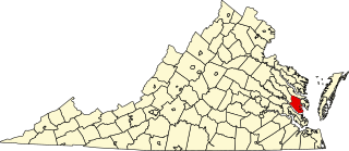
This is a list of the National Register of Historic Places listings in Gloucester County, Virginia.

This is a list of the National Register of Historic Places listings in Prince William County, Virginia.

This is a list of the National Register of Historic Places listings in Benton County, Iowa.

This is a list of the National Register of Historic Places listings in Peoria County, Illinois.

This is a list of the National Register of Historic Places listings in Greene County, Illinois.
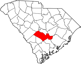
This is a list of the National Register of Historic Places listings in Orangeburg County, South Carolina.
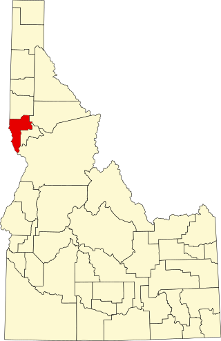
This is a list of the National Register of Historic Places listings in Nez Perce County, Idaho.

This is a list of the National Register of Historic Places listings in Logan County, Ohio.

This is a list of the National Register of Historic Places listings in Clay County, Missouri.
This is a list of the National Register of Historic Places listings in Yellowstone National Park.

This is a list of the National Register of Historic Places listings in Highland County, Virginia.