National Register of Historic Places listings in Yuma County, Arizona
Last updated
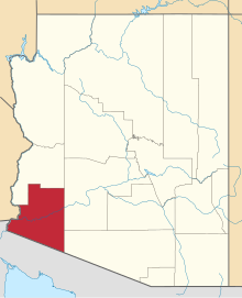
Location of Yuma County in Arizona
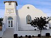
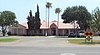
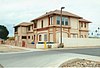
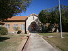
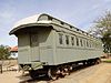
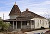
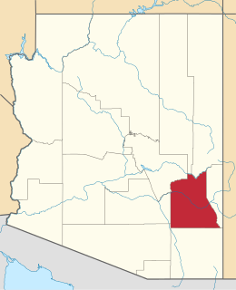
This is a list of the National Register of Historic Places listings in Yuma County, Arizona. It is intended to be a complete list of the properties and districts on the National Register of Historic Places in Yuma County, Arizona, United States. The locations of National Register properties and districts for which the latitude and longitude coordinates are included below, may be seen in a map.[1]
There are 57 properties and districts listed on the National Register in the county, including 1 that is also a National Historic Landmark. Another three properties were once listed, but have since been removed.
This is a list of the National Register of Historic Places listings in Coconino County, Arizona.
This is a list of the National Register of Historic Places listings in Sumter County, South Carolina.
This is a list of the National Register of Historic Places listings in Yavapai County, Arizona. It is intended to be a complete list of the properties and districts on the National Register of Historic Places in Yavapai County, Arizona, United States. The locations of National Register properties and districts for which the latitude and longitude coordinates are included below, may be seen in a map.
This is a list of the National Register of Historic Places listings in Bedford County, Virginia.
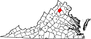
This is a list of the National Register of Historic Places listings in Clarke County, Virginia.
This is a list of the National Register of Historic Places listings in Goochland County, Virginia.
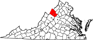
This is a list of the National Register of Historic Places listings in Rockingham County, Virginia.
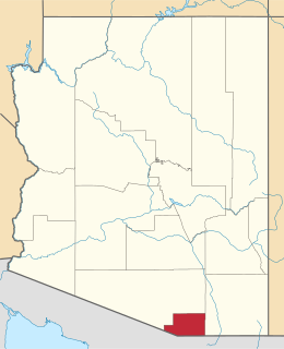
This is a list of the National Register of Historic Places listings in La Paz County, Arizona.
This is a list of the National Register of Historic Places listings in Greenlee County, Arizona.
This is a list of the National Register of Historic Places listings in Apache County, Arizona. It is intended to be a complete list of the properties and districts on the National Register of Historic Places in Apache County, Arizona, United States. The locations of National Register properties and districts for which the latitude and longitude coordinates are included below, may be seen in a map.
This is a list of the National Register of Historic Places listings in Graham County, Arizona. It is intended to be a complete list of the properties and districts on the National Register of Historic Places in Graham County, Arizona, United States. The locations of National Register properties and districts for which the latitude and longitude coordinates are included below, may be seen in a map.
This is intended to be a complete list of the properties and districts on the National Register of Historic Places in Santa Cruz County, Arizona, United States. The locations of National Register properties and districts for which the latitude and longitude coordinates are included below, may be seen in a map.
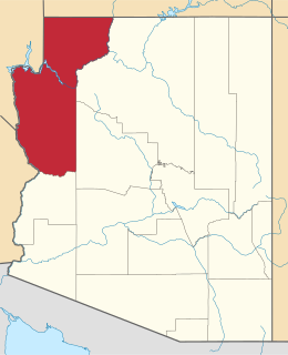
This is a list of the National Register of Historic Places listings in Mohave County, Arizona. It is intended to be a complete list of the properties and districts on the National Register of Historic Places in Mohave County, Arizona, United States. The locations of National Register properties and districts for which the latitude and longitude coordinates are included below, may be seen in a map.
This is a list of the National Register of Historic Places listings in Navajo County, Arizona. It is intended to be a complete list of the properties and districts on the National Register of Historic Places in Navajo County, Arizona, United States. The locations of National Register properties and districts for which the latitude and longitude coordinates are included below, may be seen in a map.
This is a list of the National Register of Historic Places listings in New Kent County, Virginia.
This is a list of the National Register of Historic Places listings in Rappahannock County, Virginia.
This is a list of the National Register of Historic Places listings in Patrick County, Virginia.
This is a list of the National Register of Historic Places listings in Prince Edward County, Virginia.
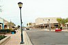
This is a list of the National Register of Historic Places listings in Prescott, Arizona. It is intended to be a complete list of the properties and districts on the National Register of Historic Places in Prescott, Arizona, United States. The locations of National Register properties and districts for which the latitude and longitude coordinates are included below, may be seen in an online map.
This is a list of the National Register of Historic Places listings in Grand Canyon National Park.
References
↑ The latitude and longitude information provided in this table was derived originally from the National Register Information System, which has been found to be fairly accurate for about 99% of listings. Some locations in this table may have been corrected to current GPS standards.
1 2 Numbers represent an alphabetical ordering by significant words. Various colorings, defined here, differentiate National Historic Landmarks and historic districts from other NRHP buildings, structures, sites or objects.
↑ The eight-digit number below each date is the number assigned to each location in the National Register Information System database, which can be viewed by clicking the number.
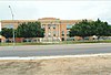
↑ "Contact Us". Roosevelt Elementary School. Retrieved April 18, 2016.
This page is based on this Wikipedia article Text is available under the CC BY-SA 4.0 license; additional terms may apply. Images, videos and audio are available under their respective licenses.