Related Research Articles

The geography of France consists of a terrain that is mostly flat plains or gently rolling hills in the north and west and mountainous in the south and the east. Metropolitan France has a total size of 551,695 km2 (213,011 sq mi). It is the third largest country in Europe by area and the largest in Western Europe.

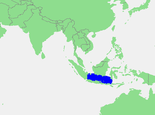
The Java Sea is an extensive shallow sea on the Sunda Shelf, between the Indonesian islands of Borneo to the north, Java to the south, Sumatra to the west, and Sulawesi to the east. Karimata Strait to its northwest links it to the South China Sea. It is a part of the western Pacific Ocean.
The Northumberland Islands are a scattered island chain off the eastern coast of Queensland, Australia.

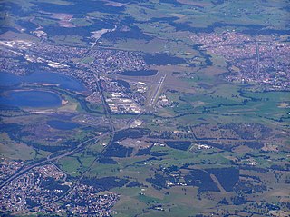
Macquarie Rivulet is a perennial river located in the Southern Highlands and Illawarra regions of New South Wales, Australia.
Busen Point or Busen Peninsula is a headland forming the southeast side of the entrance to Stromness Bay, on the north coast of South Georgia island. It lies on the Lewin Peninsula in between Stromness Bay and Cumberland West Bay.
Minna Bluff is a rocky promontory at the eastern end of a volcanic Antarctic peninsula projecting deep into the Ross Ice Shelf at 78°31′S166°25′E. It forms a long, narrow arm which culminates in a south-pointing hook feature, and is the subject of research into Antarctic cryosphere history, funded by the National Science Foundation, Office of Polar Programs.
Penguin Island is a small island, with an area of 2.73 ha, part of the North Coast Group, lying in the southern Bass Strait near Devonport in north-west Tasmania. It is part of the Narawntapu National Park. An estimated 100 pairs of little penguins breed on the island.

Tatul Island is a triangular ice-free island off the north coast of Robert Island in the South Shetland Islands, Antarctica. Extending 350 by 200 m, the island emerged as a distinct geographical entity following the retreat of Robert Island's ice cap in the late 20th and early 21st century.
On the continent of Antarctica, the Aramis Range is the third range south in the Prince Charles Mountains, situated 11 miles southeast of the Porthos Range and extending for about 30 miles in a southwest–northeast direction. It was first visited in January 1957 by Australian National Antarctic Research Expeditions (ANARE) southern party led by W.G. Bewsher, who named it for a character in Alexandre Dumas' novel The Three Musketeers, the most popular book read on the southern journey.

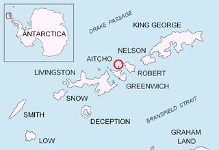
Jorge Island is an ice-free island in the Aitcho group on the west side of English Strait in the South Shetland Islands, Antarctica. Extending 420 by 300 m, surface area 13 hectares. The area was visited by early 19th century sealers.

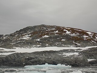
Emeline Island is a conspicuous rocky island rising to over 100 m (328 ft) in the Aitcho group on the west side of English Strait in the South Shetland Islands, Antarctica. The island extends 550 by 320 m with a surface area of 18 hectares. The area was visited by early 19th century seal hunters.

Stoker Island is a rocky island lying off the north coast of Greenwich Island in the South Shetland Islands, Antarctica. Extending 550 by 400 m, surface area 20 hectares. The area was visited by early 19th century sealers.
In the Antarctic, the Allen Rocks are a small but distinctive group of rocks 2.2 nautical miles (4.1 km) east-northeast of Slattery Peak in the Kyle Hills on Ross Island. The feature includes a central nunatak that in outline resembles the letter 'A'. A low ridge encloses the nunatak except on the south. The group was named by the Advisory Committee on Antarctic Names in 2000 after Robert J. Allen of the U.S. Antarctic Resource Center, United States Geological Survey (USGS), Reston, Virginia, a cartographer and expert on aerial photography of Antarctica, who was closely involved in USGS mapping of the continent, 1950–2000.

Perutz Glacier is a glacier, 10 nautical miles (18 km) long and 2 nautical miles (3.7 km) wide, which flows west-northwest from Hemimont Plateau into Bourgeois Fjord, close east of Thomson Head, on the west coast of Graham Land, Antarctica. The mouth of the glacier was first surveyed in 1936 by the British Graham Land Expedition (BGLE) under Rymill. The entire glacier was surveyed in 1946-47 and 1948-49 by the Falkland Islands Dependencies Survey (FIDS), and named by them for Max F. Perutz of the Cavendish Laboratory, Cambridge, who has made important studies on the mechanism of glacier flow.
Tsoilaunung Island is an island of Papua New Guinea, located to the east of New Hanover Island, to the north of New Ireland. The island is also known as Tsoi. Senta Pass separates it from Patio Island to its south.

Green Island is one of the Berthelot Islands group, lying off the west coast of Graham Land, Antarctica.
References
- ↑ Sailing Directions (enroute) for the Pacific Islands. Defense Mapping Agency, Hydrographic/Topographic Center. 2002. p. 234. Retrieved 31 December 2012.
2°36′S150°33′E / 2.600°S 150.550°E