Deserters Peak

Last updated
Deserters Peak
Deserters Peak, west.jpg
West aspect
Highest point
Elevation 2,274 m (7,461 ft) [1] [2]
Prominence 1,325 m (4,347 ft) [1] [2]
Parent peak Mount Ulysses (3,024 m) [3]
Isolation 25.1 km (15.6 mi) [3]
Listing Mountains of British Columbia
Coordinates 56°58′05″N124°54′19″W / 56.96806°N 124.90528°W / 56.96806; -124.90528 [4]
Geography
Canada British Columbia relief location map.jpg
Red triangle with thick white border.svg
Deserters Peak
Location in British Columbia
Canada relief map 2.svg
Red triangle with thick white border.svg
Deserters Peak
Location in Canada
Deserters Peak
Interactive map of Deserters Peak
Country Canada
Province British Columbia
District Cassiar Land District
Parent range Deserters Range [1]
Muskwa Ranges
Northern Rocky Mountains
Topo map NTS 94C15 Chowika Creek [4]

Deserters Peak is a mountain summit in British Columbia, Canada.

Contents

Description

Deserters Peak, elevation 2,274-meters (7,461-feet), is the highest point of the Deserters Range, [1] which is a subrange of the Muskwa Ranges of the Northern Rocky Mountains. It is situated along the east side of the Rocky Mountain Trench near the northern end of Williston Lake. Precipitation runoff from the peak drains into Deserters Creek and Rubyred Creek which are both tributaries of the Finlay River. Topographic relief is significant as the summit rises approximately 1,600 meters (5,250 ft) above the Finlay River in 5.5 km (3.4 mi).

Etymology

The mountain's toponym was officially adopted June 4, 1953, by the Geographical Names Board of Canada. [4] The mountain and Deserters Creek are named in association with Deserters Canyon which is immediately west of the mountain where the creek flows into Finlay River. [5] The canyon's name refers to two men in Samuel Black's 1824 exploration party who decamped (deserted) at this location on May 28 during an expedition to find the headwaters of the Finlay River. [6]

Climate

Based on the Köppen climate classification, Deserters Peak is located in a subarctic climate zone with cold, snowy winters, and mild summers. [7] Winter temperatures can drop below −20 °C with wind chill factors below −30 °C.

See also

Related Research Articles

<span class="mw-page-title-main">Otter Mountain</span> Mountain in British Columbia, Canada

Otter Mountain is a prominent 2,693-metre (8,835-foot) glaciated summit located in the Coast Mountains of British Columbia, Canada. It is situated 16 kilometers northeast of Stewart, British Columbia, and the nearest higher peak is Mount Pattullo, 25.4 km (15.8 mi) to the north. Otter ranks as the 23rd most topographically prominent summit of Canada. Topographic relief is significant as the summit rises 2,380 meters above Bitter Creek Valley in 5 kilometers. This mountain's toponym was adopted as "Mount Otter" on 24 July 1945, and officially renamed Otter Mountain on 5 November 1953 by the Geographical Names Board of Canada. Precipitation runoff from the mountain drains west into Bitter Creek which is a tributary of the Bear River, or east to Nelson Creek which is part of the Nass River drainage basin, and all ultimately finds its way to the Inside Passage.

<span class="mw-page-title-main">Mount Verendrye</span> Mountain in British Columbia, Canada

Mount Verendrye is a 3,086-metre (10,125-foot) mountain summit located in British Columbia, Canada.

<span class="mw-page-title-main">Limestone Peak (British Columbia)</span> Mountain in British Columbia, Canada

Limestone Peak is a 2,878-metre (9,442-foot) mountain summit located in British Columbia, Canada.

<span class="mw-page-title-main">Fairmont Mountain</span> Mountain in British Columbia, Canada

Fairmont Mountain is a 2,628-metre (8,622-foot) summit located in British Columbia, Canada.

<span class="mw-page-title-main">Taurus Mountain</span> Mountain in British Columbia, Canada

Taurus Mountain is a mountain summit located in British Columbia, Canada.

<span class="mw-page-title-main">Mount Hanover</span> Mountain in the country of Canada

Mount Hanover is a mountain summit located in British Columbia, Canada.

<span class="mw-page-title-main">North Albert Peak</span> Mountain in British Columbia, Canada

North Albert Peak is a 2,934-metre (9,626-foot) mountain summit located in British Columbia, Canada.
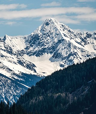
<span class="mw-page-title-main">Albert Peak</span> Mountain in British Columbia, Canada

Albert Peak is a 3,045-metre (9,990-foot) mountain summit located in British Columbia, Canada.

<span class="mw-page-title-main">Mount Alcantara</span> Mountain in British Columbia, Canada

Mount Alcantara is a 3,029-metre (9,938-foot) mountain summit located in British Columbia, Canada.

<span class="mw-page-title-main">Barbette Mountain</span> Mountain in the country of Canada

Barbette Mountain is 3,072-metre (10,079-foot) summit located on the shared border of Alberta and British Columbia, Canada.

<span class="mw-page-title-main">Mount Ogden (British Columbia)</span> Mountain in Canada

Mount Ogden is a mountain in the Canadian Rockies of British Columbia, Canada.
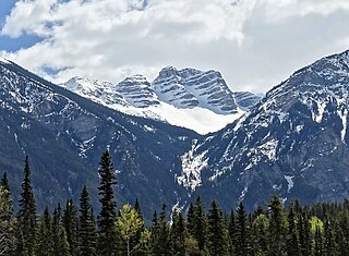
<span class="mw-page-title-main">Overlander Mountain</span> Mountain in British Columbia, Canada

Overlander Mountain is a summit in British Columbia, Canada.

<span class="mw-page-title-main">Klapperhorn Mountain</span> Mountain in British Columbia, Canada

Klapperhorn Mountain is a summit in British Columbia, Canada.

<span class="mw-page-title-main">Mount McKirdy</span> Mountain in British Columbia, Canada

Mount McKirdy is a mountain summit in British Columbia, Canada.
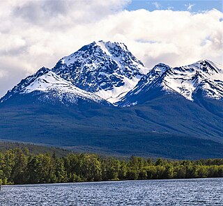
<span class="mw-page-title-main">Whitesaddle Mountain</span> Mountain in British Columbia, Canada

Whitesaddle Mountain is a summit located in British Columbia, Canada.
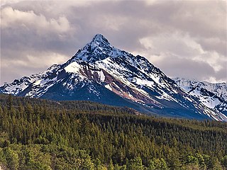
<span class="mw-page-title-main">Blackhorn Mountain</span> Mountain in British Columbia, Canada

Blackhorn Mountain is a summit located in British Columbia, Canada.

<span class="mw-page-title-main">Howser Peak</span> Mountain in British Columbia, Canada

Howser Peak is a 3,094-metre (10,151-foot) summit in The Bugaboos of British Columbia, Canada. It is located south of the Bugaboo Glacier and is the southernmost point of Bugaboo Provincial Park. Precipitation runoff from Howser Peak drains north into Bugaboo Creek which is a tributary of the Columbia River; as well as south to Duncan River via Howser Creek. Howser Peak is more notable for its steep rise above local terrain than for its absolute elevation as topographic relief is significant with the south aspect rising 1,380 meters (4,527 ft) in 2.5 km (1.6 mi).

<span class="mw-page-title-main">Flattop Peak</span> Mountain in British Columbia, Canada

Flattop Peak is a 3,063-metre (10,049-foot) summit in British Columbia, Canada.

<span class="mw-page-title-main">Northpost Spire</span> Mountain in British Columbia, Canada

Northpost Spire is a 2,911-metre (9,551-foot) peak in British Columbia, Canada.

<span class="mw-page-title-main">Wallace Peak</span> Mountain in British Columbia, Canada

Wallace Peak is a 2,940-metre (9,650-foot) summit in British Columbia, Canada.

References

  1. 1 2 3 4 "Deserters Peak, British Columbia". Peakbagger.com. Retrieved 2022-12-25.
  2. 1 2 "Deserters Peak". Bivouac.com. Retrieved 2022-12-25.
  3. 1 2 "Deserters Peak, Peakvisor.com" . Retrieved 2022-12-25.
  4. 1 2 3 "Deserters Peak". Geographical Names Data Base . Natural Resources Canada . Retrieved 2022-12-22.
  5. "Deserters Peak". BC Geographical Names . Retrieved 2022-12-25.
  6. "Deserters Canyon". BC Geographical Names . Retrieved 2022-12-25.
  7. Peel, M. C.; Finlayson, B. L.; McMahon, T. A. (2007). "Updated world map of the Köppen−Geiger climate classification". Hydrol. Earth Syst. Sci. 11: 1633–1644. ISSN   1027-5606.