| Fall River Township | |
|---|---|
| Township | |
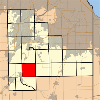
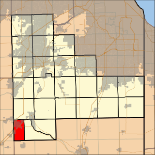
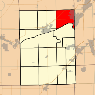
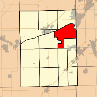
 Location in LaSalle County | |
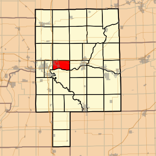
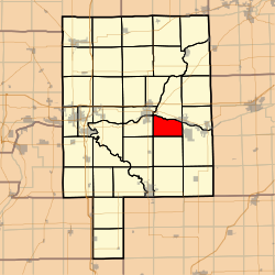
 LaSalle County's location in Illinois | |
| Country | United States |
| State | Illinois |
| County | LaSalle |
| Established | Unknown |
| Area | |
| • Total | 20.8 sq mi (54 km2) |
| • Land | 20.19 sq mi (52.3 km2) |
| • Water | 0.61 sq mi (1.6 km2) 2.93% |
| Population (2010) | |
| • Estimate (2016) [1] | 745 |
| • Density | 37.8/sq mi (14.6/km2) |
| Time zone | CST (UTC-6) |
| • Summer (DST) | CDT (UTC-5) |
| FIPS code | 17-099-25284 |
Fall River Township is located in LaSalle County, Illinois. As of the 2010 census, its population was 763 and it contained 339 housing units. [2] Fall River Township was formed from Grand Rapids Township on an unknown date.

LaSalle County is located in the North Central region of the U.S. state of Illinois; it has an estimated population of 111,241 as of 2014 and its county seat and largest city is Ottawa.

Illinois is a state in the Midwestern region of the United States. It has the fifth largest gross domestic product (GDP), the sixth largest population, and the 25th largest land area of all U.S. states. Illinois is often noted as a microcosm of the entire United States. With Chicago in northeastern Illinois, small industrial cities and immense agricultural productivity in the north and center of the state, and natural resources such as coal, timber, and petroleum in the south, Illinois has a diverse economic base, and is a major transportation hub. Chicagoland, Chicago's metropolitan area, encompasses over 65% of the state's population. The Port of Chicago connects the state to international ports via two main routes: from the Great Lakes, via the Saint Lawrence Seaway, to the Atlantic Ocean and from the Great Lakes to the Mississippi River, via the Illinois Waterway to the Illinois River. The Mississippi River, the Ohio River, and the Wabash River form parts of the boundaries of Illinois. For decades, Chicago's O'Hare International Airport has been ranked as one of the world's busiest airports. Illinois has long had a reputation as a bellwether both in social and cultural terms and, through the 1980s, in politics.

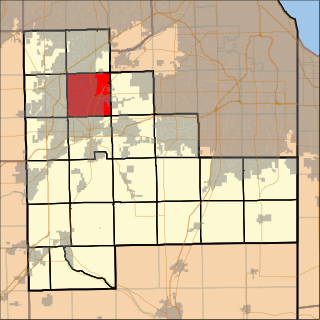
Grand Rapids Township is located in LaSalle County, Illinois. As of the 2010 census, its population was 335 and it contained 130 housing units.