Mariner's Temple | |
 | |
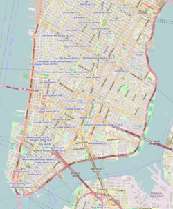   | |
| Location | 12 Oliver Street, Manhattan, New York |
|---|---|
| Built | 1845 |
| Architect | possibly Isaac Lucas [1] |
| Architectural style | Greek Revival |
| NRHP reference No. | 80002700 |
| NYCL No. | 214 |
| Significant dates | |
| Added to NRHP | April 16, 1980 [2] |
| Designated NYCL | February 1, 1966 |
Mariner's Temple is a Baptist church at 3 Henry Street, in the Two Bridges section of Manhattan, New York City. It is a brownstone building with Ionic columns. It is a church member of the American Baptist Churches USA (ABCUSA). [3]
