This is a list of the National Register of Historic Places listings in Jackson County, Missouri.

This is a list of the National Register of Historic Places listings in Howard County, Missouri.

This is a list of the National Register of Historic Places listings in Franklin County, Missouri.

This is a list of the National Register of Historic Places listings in Pike County, Missouri.

This is a list of the National Register of Historic Places listings in Perry County, Missouri.

This is a list of the National Register of Historic Places listings in Iron County, Missouri.
This is a list of the National Register of Historic Places listings in Callaway County, Missouri.

The following properties are listed on the National Register of Historic Places in Marion County, Missouri.
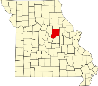
This is a list of the National Register of Historic Places listings in Miller County, Missouri.

This is a list of the National Register of Historic Places listings in Clay County, Missouri.

This is a list of the National Register of Historic Places listings in Johnson County, Missouri.

This is a list of the National Register of Historic Places listings in Lewis County, Missouri.

This is a list of the National Register of Historic Places listings in Carroll County, Missouri.

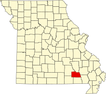
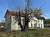
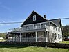
This is a list of the National Register of Historic Places listings in Wright County, Missouri.

This is a list of the National Register of Historic Places listings in Boone County, Missouri.

This is a list of the National Register of Historic Places listings in Shannon County, Missouri.

This is a list of the National Register of Historic Places listings in Montgomery County, Missouri.
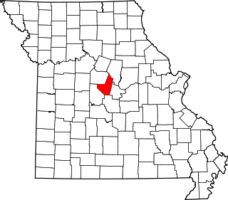
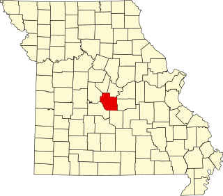
This is a list of the National Register of Historic Places listings in Moniteau County, Missouri.

This is a list of the National Register of Historic Places listings in Henry County, Missouri.

This is a list of the National Register of Historic Places listings in Linn County, Missouri.