National Register of Historic Places listings in Ray County, Missouri

Last updated
Location of Ray County in Missouri Map of Missouri highlighting Ray County.svg
Location of Ray County in Missouri

This is a list of the National Register of Historic Places listings in Ray County, Missouri.

Contents

This is intended to be a complete list of the properties and districts on the National Register of Historic Places in Ray County, Missouri, United States. Latitude and longitude coordinates are provided for many National Register properties and districts; these locations may be seen together in a map. [1]

There are 6 properties and districts listed on the National Register in the county.

This National Park Service list is complete through NPS recent listings posted November 13, 2020. [2]
Map all coordinates using: OpenStreetMap  
Download coordinates as: KML  ·  GPX

Current listings

[3] Name on the RegisterImageDate listed [4] Location City or townDescription
1 Dougherty Auditorium
Dougherty Auditorium Farris theater.jpg
Dougherty Auditorium
September 16, 1982
(#82003158)
203 W. Main St.
39°16′42″N93°58′45″W / 39.278333°N 93.979167°W / 39.278333; -93.979167 (Dougherty Auditorium)
Richmond
2 Isiah Mansur Farmstead Historic District
Isiah Mansur Farmstead Historic District Isiah Mansur Farmhouse street view.jpg
Isiah Mansur Farmstead Historic District
August 14, 1998
(#98001063)
17740 Highway E.
39°24′46″N93°53′11″W / 39.412778°N 93.886389°W / 39.412778; -93.886389 (Isiah Mansur Farmstead Historic District)
Richmond
3 New Hope Primitive Baptist Church
New Hope Primitive Baptist Church Richmond MO.New Hope Primitive Baptist Church.Front and North Side.jpg
New Hope Primitive Baptist Church
November 14, 1980
(#80002393)
Southwest of Richmond on Old Orrick Rd.
39°14′59″N94°02′37″W / 39.249722°N 94.043611°W / 39.249722; -94.043611 (New Hope Primitive Baptist Church)
Richmond
4 Ray County Courthouse
Ray County Courthouse RAY COUNTY COURTHOUSE.jpg
Ray County Courthouse
October 11, 1979
(#79001393)
Off Missouri Routes 10 and 13
39°16′44″N93°58′37″W / 39.278889°N 93.976944°W / 39.278889; -93.976944 (Ray County Courthouse)
Richmond
5 Ray County Poor Farm
Ray County Poor Farm MUSEUM SNOW.jpg
Ray County Poor Farm
July 10, 1979
(#79001394)
W. Royale St.
39°16′22″N93°59′20″W / 39.272778°N 93.988889°W / 39.272778; -93.988889 (Ray County Poor Farm)
Richmond
6 Watkins House
Watkins House WATKINS HOUSE.jpg
Watkins House
February 10, 1983
(#83001036)
302 S. Camden St.
39°16′36″N93°58′45″W / 39.276667°N 93.979167°W / 39.276667; -93.979167 (Watkins House)
Richmond Designed by architect George Franklin Barber

See also

Related Research Articles

National Register of Historic Places listings in Howard County, Missouri

This is a list of the National Register of Historic Places listings in Howard County, Missouri.

National Register of Historic Places listings in Franklin County, Missouri

This is a list of the National Register of Historic Places listings in Franklin County, Missouri.

National Register of Historic Places listings in Pike County, Missouri

This is a list of the National Register of Historic Places listings in Pike County, Missouri.

National Register of Historic Places listings in Marion County, Missouri

The following properties are listed on the National Register of Historic Places in Marion County, Missouri.

National Register of Historic Places listings in Miller County, Missouri

This is a list of the National Register of Historic Places listings in Miller County, Missouri.

National Register of Historic Places listings in Johnson County, Missouri

This is a list of the National Register of Historic Places listings in Johnson County, Missouri.

National Register of Historic Places listings in Cole County, Missouri

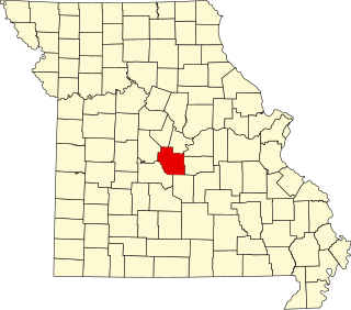
This is a list of the National Register of Historic Places listings in Cole County, Missouri.

National Register of Historic Places listings in Wright County, Missouri

This is a list of the National Register of Historic Places listings in Wright County, Missouri.

National Register of Historic Places listings in Boone County, Missouri

This is a list of the National Register of Historic Places listings in Boone County, Missouri.

National Register of Historic Places listings in Montgomery County, Missouri

This is a list of the National Register of Historic Places listings in Montgomery County, Missouri.

National Register of Historic Places listings in Camden County, Missouri

This is a list of the National Register of Historic Places listings in Camden County, Missouri.

National Register of Historic Places listings in St. Francois County, Missouri

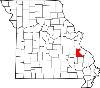
This is a list of the National Register of Historic Places listings in St. Francois County, Missouri.

National Register of Historic Places listings in Newton County, Missouri

This is a list of the National Register of Historic Places listings in Newton County, Missouri.

National Register of Historic Places listings in Dent County, Missouri

This is a list of the National Register of Historic Places listings in Dent County, Missouri.

National Register of Historic Places listings in Nodaway County, Missouri

This is a list of the National Register of Historic Places listings in Nodaway County, Missouri.

National Register of Historic Places listings in Howell County, Missouri

This is a list of the National Register of Historic Places listings in Howell County, Missouri.

National Register of Historic Places listings in Texas County, Missouri

This is a list of the National Register of Historic Places listings in Texas County, Missouri.

National Register of Historic Places listings in Pulaski County, Missouri

This is a list of the National Register of Historic Places listings in Pulaski County, Missouri.

National Register of Historic Places listings in Linn County, Missouri

This is a list of the National Register of Historic Places listings in Linn County, Missouri.

National Register of Historic Places listings in Lincoln County, Missouri

This is a list of the National Register of Historic Places listings in Lincoln County, Missouri.

References

  1. The latitude and longitude information provided in this table was derived originally from the National Register Information System, which has been found to be fairly accurate for about 99% of listings. Some locations in this table may have been corrected to current GPS standards.
  2. "National Register of Historic Places: Weekly List Actions". National Park Service, United States Department of the Interior. Retrieved on November 13, 2020.
  3. Numbers represent an alphabetical ordering by significant words. Various colorings, defined here, differentiate National Historic Landmarks and historic districts from other NRHP buildings, structures, sites or objects.
  4. The eight-digit number below each date is the number assigned to each location in the National Register Information System database, which can be viewed by clicking the number.