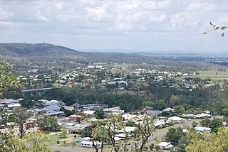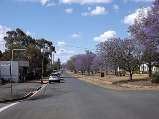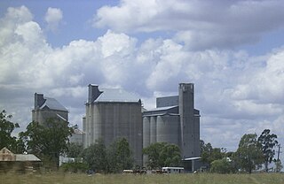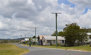
Gayndah is a town and locality in the North Burnett Region, Queensland, Australia. In the 2016 census, Gayndah had a population of 1,981 people. It is the administrative centre for the North Burnett Region.

Eidsvold is a rural town and locality in the North Burnett Region, Queensland, Australia. The town is the self-proclaimed Beef Capital of the Burnett and is a hub for the regional cattle industry. In the 2016 census, Eidsvold had a population of 574 people.

Mulgildie is a town and a locality in the North Burnett Region, Queensland, Australia. In the 2016 census, Mulgildie had a population of 174 people.

Goombungee is a rural town and locality in the Toowoomba Region, Queensland, Australia. In the 2016 census the locality of Goombungee had a population of 1,026 people.

Duchess is a rural town and locality in the Shire of Cloncurry, Queensland, Australia. In the 2016 census, Duchess had a population of 23 people.

Didcot is a locality in the North Burnett Region, Queensland, Australia.

Wetheron is a rural town and locality in the North Burnett Region, Queensland, Australia. In the 2016 census, Wetheron had a population of 46 people.

Humphery is a rural locality in the North Burnett Region, Queensland, Australia. In the 2016 census Humphery had a population of 34 people.

Evanslea is a rural locality in the Toowoomba Region, Queensland, Australia. In the 2016 census Evanslea had a population of 41 people.

Owanyilla is a rural town and locality in the Fraser Coast Region, Queensland, Australia. In the 2016 census the locality of Owanyilla had a population of 194 people.

Cynthia is a rural town and locality in the North Burnett Region, Queensland, Australia. In the 2016 census, Cynthia had a population of 31 people.

Brookstead is a rural town and locality in the Toowoomba Region, Queensland, Australia. In the 2016 census, Brookstead had a population of 217 people.

Dallarnil is a rural town and locality in the North Burnett Region, Queensland, Australia. In the 2016 census, Dallarnil had a population of 230 people. The neighbourhood of Stanton is within the locality.

Kinkuna is a coastal locality in the Bundaberg Region, Queensland, Australia. In the 2016 census Kinkuna had a population of 111 people.

Kalpowar is a town in the North Burnett Region and a locality split between the North Burnett Region and the Bundaberg Region, in Queensland, Australia. In the 2016 census the locality of Kalpowar had a population of 67 people.

Nangwee is a rural town and locality in the Toowoomba Region, Queensland, Australia. In the 2016 census the locality of Nangwee had a population of 52 people.

Goodger is a rural locality in the South Burnett Region, Queensland, Australia. In the 2016 census Goodger had a population of 187 people.

Yargullen is a rural locality in the Toowoomba Region, Queensland, Australia. In the 2016 census Yargullen had a population of 25 people.

Gilla is a rural locality in the Toowoomba Region, Queensland, Australia. In the 2016 census Gilla had a population of 32 people.

Dirnbir is a rural locality in the North Burnett Region, Queensland, Australia. In the 2016 census, Dirnbir had a population of 49 people.


