
Mundubbera is a town and a locality in the North Burnett Region, Queensland, Australia. In the 2016 census, Mundubbera had a population of 1261 people.
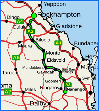
The Burnett Highway is an inland rural highway located in Queensland, Australia. The highway runs from its junction with the Bruce Highway at Gracemere, just south of Rockhampton, to the D'Aguilar Highway in Nanango. Its length is approximately 542 kilometres. The highway takes its name from the Burnett River, which it crosses in Gayndah. The Burnett Highway provides the most direct link between the northern end of the New England Highway and Rockhampton. It is designated as a State Strategic Road by the Queensland Government.

Eidsvold is a rural town and locality in the North Burnett Region, Queensland, Australia. The town is the self-proclaimed Beef Capital of the Burnett and is a hub for the regional cattle industry. In the 2016 census, the locality of Eidsvold had a population of 574 people.

The Shire of Perry was a local government area in the northern catchment of the Burnett River, Queensland, Australia. The Shire covered an area of 2,357.7 square kilometres (910.3 sq mi), and existed as a local government area from 1880 until 2008, when it amalgamated with several other shires to form the North Burnett Region.
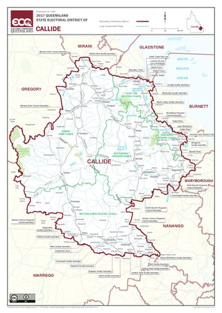
Callide is an electoral division in Queensland, Australia.
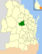
The Shire of Mundubbera was a local government area in the northern catchment of the Burnett River, Queensland, Australia. The shire covered an area of 4,192.8 square kilometres (1,618.8 sq mi), and existed as a local government area from 1915 until 2008, when it amalgamated with several other shires to form the North Burnett Region.

The Shire of Gayndah was a local government area located in the northern catchment of the Burnett River, Queensland, Australia. The shire covered an area of 2,709.3 square kilometres (1,046.1 sq mi), and existed as a local government area from 1866 until 2008, when it amalgamated with several other shires to form the North Burnett Region.

The Shire of Monto was a local government area in the northern catchment of the Burnett River, Queensland, Australia. The shire covered an area of 4,320.8 square kilometres (1,668.3 sq mi), and existed as a local government area from 1932 until 2008, when it amalgamated with several other shires to form the North Burnett Region.
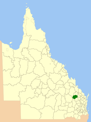
The Shire of Eidsvold was a local government area in the northern catchment of the Burnett River, Queensland, Australia. The shire covered an area of 4,809.4 square kilometres (1,856.9 sq mi), and existed as a local government area from 1890 until 2008, when it amalgamated with several other shires to form the North Burnett Region.

The Shire of Biggenden was a local government area located in the northern catchment of the Burnett River, Queensland, Australia, 100 kilometres (62 mi) south-southwest of the regional city of Bundaberg. The shire covered an area of 1,314.5 square kilometres (507.5 sq mi), and existed as a local government area from 1905 until 2008, when it amalgamated with several other shires to become the North Burnett Region.
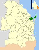
The City of Hervey Bay was a local government area located in the Wide Bay–Burnett region of Queensland, Australia, containing the urban centre of Hervey Bay as well as the northern half of Fraser Island. The City covered an area of 2,356.3 square kilometres (909.8 sq mi), and existed as a local government entity in various forms from 1879 until 2008, when it was amalgamated with the City of Maryborough, Shire of Woocoo and the 1st and 2nd divisions of the Shire of Tiaro to form the Fraser Coast Region.

The Cassowary Coast Region is a local government area in the Far North Queensland region of Queensland, Australia, south of Cairns and centred on the towns of Innisfail, Cardwell and Tully. It was created in 2008 from a merger of the Shire of Cardwell and the Shire of Johnstone.
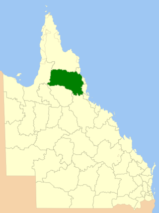
The Tablelands Region is a local government area in Far North Queensland, Australia inland from the city of Cairns. Established in 2008, it was preceded by four previous local government areas which dated back more than a century. On 1 January 2014, one of those local government areas, the Shire of Mareeba, was re-established independent of the Tablelands Region.

The Bundaberg Region is a local government area in the Wide Bay–Burnett region of Queensland, Australia, about 360 kilometres (220 mi) north of Brisbane, the state capital. It is centred on the city of Bundaberg, and also contains a significant rural area surrounding the city. It was created in 2008 from a merger of the City of Bundaberg with the Shires of Burnett, Isis and Kolan.

The Fraser Coast Region is a local government area in the Wide Bay–Burnett region of Queensland, Australia, about 250 kilometres (160 mi) north of Brisbane, the state capital. It is centred on the twin cities of Hervey Bay and Maryborough and also contains Fraser Island (K'gari). It was created in 2008 from a merger of the Cities of Maryborough and Hervey Bay and the Shires of Woocoo and most of Tiaro. In June 2018 it had a population of 105,463.

The Gympie Region is a local government area in the Wide Bay–Burnett region of Queensland, Australia, about 170 kilometres (110 mi) north of Brisbane, the state capital. It is between the Sunshine Coast and Hervey Bay and centred on the town of Gympie. It was created in 2008 from a merger of the Shires of Cooloola and Kilkivan and part of the Shire of Tiaro.
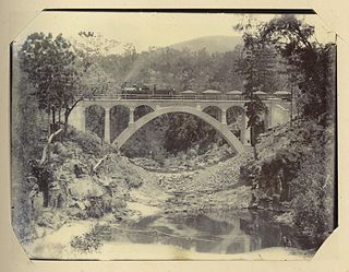
The Mungar Junction to Monto railway line is a 267-kilometre (166 mi) railway in Queensland, Australia. Progressively opened in eleven stages between 1889 and 1928 the line branched from the North Coast line at Mungar Junction a short distance west of Maryborough and followed a westerly route towards Biggenden and Gayndah before turning north via Mundubbera and Eidsvold to Monto. It is also known as the Gayndah Monto Branch Railway. In 2012, the line was officially closed.

Didcot is a rural locality in the North Burnett Region, Queensland, Australia. In the 2016 census Didcot had a population of 60 people.

Humphery Railway Bridge is a heritage-listed railway bridge on the Mungar to Monto railway line at Humphery, North Burnett Region, Queensland, Australia. It was designed by William Pagan and built in 1913. It was added to the Queensland Heritage Register on 21 October 1992.
Mount Lawless is a rural locality in the North Burnett Region, Queensland, Australia. In the 2021 census, Mount Lawless had a population of 9 people.


