Lipalian Mountain

Last updated
Lipalian Mountain
Lipalian Mountain.jpg
Highest point
Elevation 2,682 m (8,799 ft) [1] [a]
Prominence 182 m (597 ft) [1] [b]
Parent peak Redoubt Mountain (2902 m) [1]
Listing Mountains of Alberta
Coordinates 51°25′37″N116°05′50″W / 51.42694°N 116.09722°W / 51.42694; -116.09722 [4]
Geography
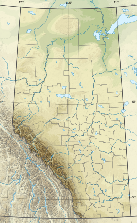
Canada Alberta relief location map - transverse mercator proj.svg
Red triangle with thick white border.svg
Lipalian Mountain
Location in Alberta
Canada relief map 2.svg
Red triangle with thick white border.svg
Lipalian Mountain
Location in Canada
Country Canada
Province Alberta
Parent range
Topo map NTS 82N8 Lake Louise [4]
Climbing
Easiest route Easy Scramble [3]

Lipalian Mountain is a 2,682-metre (8,799-foot) mountain summit located in Banff National Park, in the Slate Range of the Canadian Rockies of Alberta, Canada. It was named by William C. Gussow in 1958. [2] [1]

Contents

The Larch Area of the Lake Louise Ski Resort is located on its lower west slope, while the majority of the resort's skiable terrain is located on the slopes of Whitehorn Mountain, immediately west of Lipalian Mountain. The resort's Temple Lodge (dining only) is located in the valley between the two mountains and is only open during the ski season and is accessible on skis/snowboard only (no public road).

Lipalian was a geological era proposed by American paleontologist Charles Walcott for a time where there is no record of fossils during a period of the Cambrian explosion. The theory was later refuted.
Geology

The mountains in Banff Park are composed of sedimentary rock laid down during the Precambrian to Jurassic periods. [6] Formed in shallow seas, this sedimentary rock was pushed east and over the top of younger rock during the Laramide orogeny. [7]

Climate

Based on the Köppen climate classification, the mountain experiences a subarctic climate with cold, snowy winters, and mild summers. [8] The Lake Louise Ski Resort is located to the immediate northwest of the peak. Temperatures can drop below −20 °C (−4 °F) with wind chill factors below −30 °C (−22 °F) in the winter.

See also

References

  1. 1 2 3 4 "Lipalian Mountain". Bivouac.com. Retrieved 2019-09-07.
  2. 1 2 "Lipalian Mountain". cdnrockiesdatabases.ca. Retrieved 2019-09-07.
  3. 1 2 Kane, Alan (2016). "Lipalian Mountain". Scrambles in the Canadian Rockies (Kindle) (3rd ed.). Calgary: Rocky Mountain Books. ISBN   978-1-77160-098-9.
  4. 1 2 "Lipalian Mountain". Geographical Names Data Base . Natural Resources Canada . Retrieved 2019-09-07.
  5. NTS map sheet 82N08
  6. Belyea, Helen R. (1960). The Story of the Mountains in Banff National Park (PDF). parkscanadahistory.com (Report). Ottawa: Geological Survey of Canada. Archived (PDF) from the original on 2015-10-02. Retrieved 2019-09-13.
  7. Gadd, Ben (2008), Geology of the Rocky Mountains and Columbias
  8. Peel, M. C.; Finlayson, B. L.; McMahon, T. A. (2007). "Updated world map of the Köppen−Geiger climate classification" (PDF). Hydrol. Earth Syst. Sci. 11 (5): 1633–1644. Bibcode:2007HESS...11.1633P. doi: 10.5194/hess-11-1633-2007 . ISSN   1027-5606.
Notes
  1. Other sources state 2710 m. [2] [3]
  2. Based on a summit elevation of 2710 m.